MyTopo
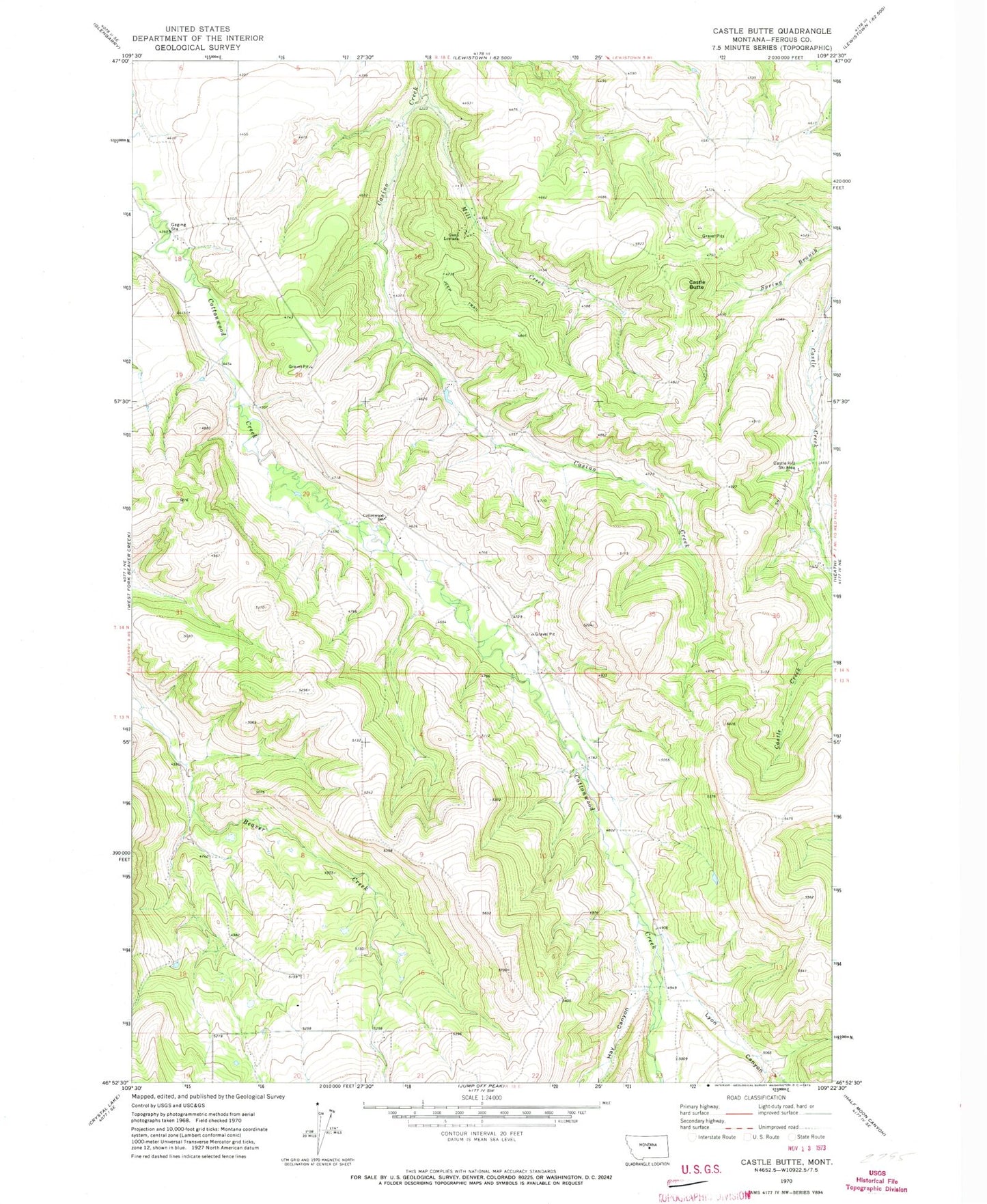
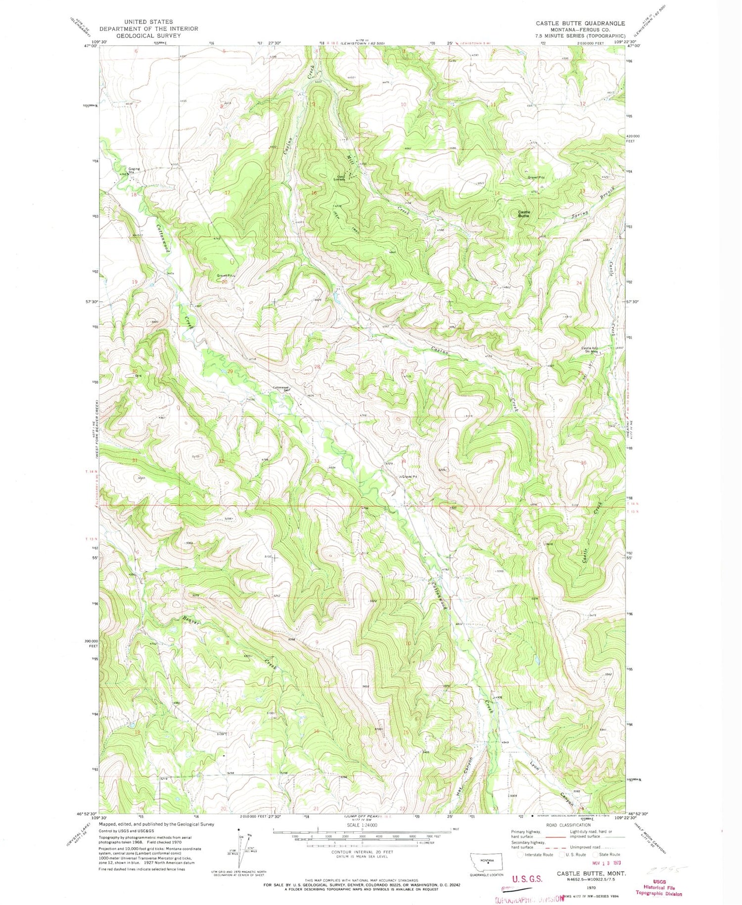
Classic USGS Castle Butte Montana 7.5'x7.5' Topo Map
Couldn't load pickup availability
Historical USGS topographic quad map of Castle Butte in the state of Montana. Map scale may vary for some years, but is generally around 1:24,000. Print size is approximately 24" x 27"
This quadrangle is in the following counties: Fergus.
The map contains contour lines, roads, rivers, towns, and lakes. Printed on high-quality waterproof paper with UV fade-resistant inks, and shipped rolled.
Contains the following named places: 14N18E04DCBB01 Well, 14N18E04DCBB02 Well, 14N18E09ADA_01 Well, 14N18E09DDC_01 Well, 14N18E10DDB_01 Well, 14N18E11ACBA01 Well, 14N18E12CCD_01 Well, 14N18E15DDBB01 Well, 14N18E16AADD01 Well, 14N18E16CDB_01 Well, 14N18E17BCA_01 Well, 14N18E18BDB_01 Well, Beaver Creek - Cottonwood Rural Fire District, Camp Lewtana, Casino Creek School, Castle Butte, Castle Butte School, Castle Hill Ski Area, Cottonwood School, Hay Canyon, Jones Post Office, Lewistown Division, Lyon Canyon, Mill Creek, Natal Post Office, Natal School, Quickenden School, Upper Cottonwood School, Upper Paradise School, Watson


