MyTopo
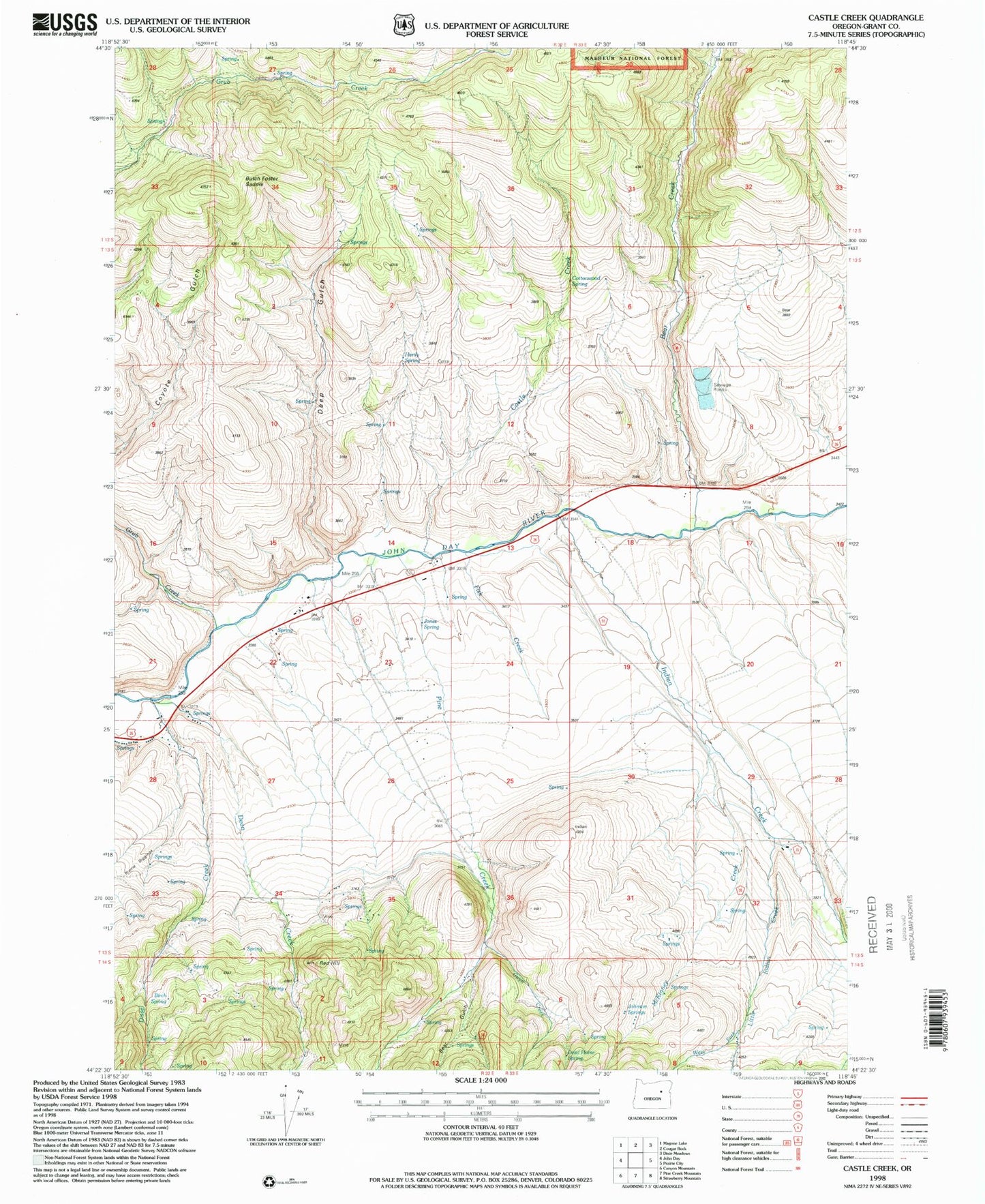
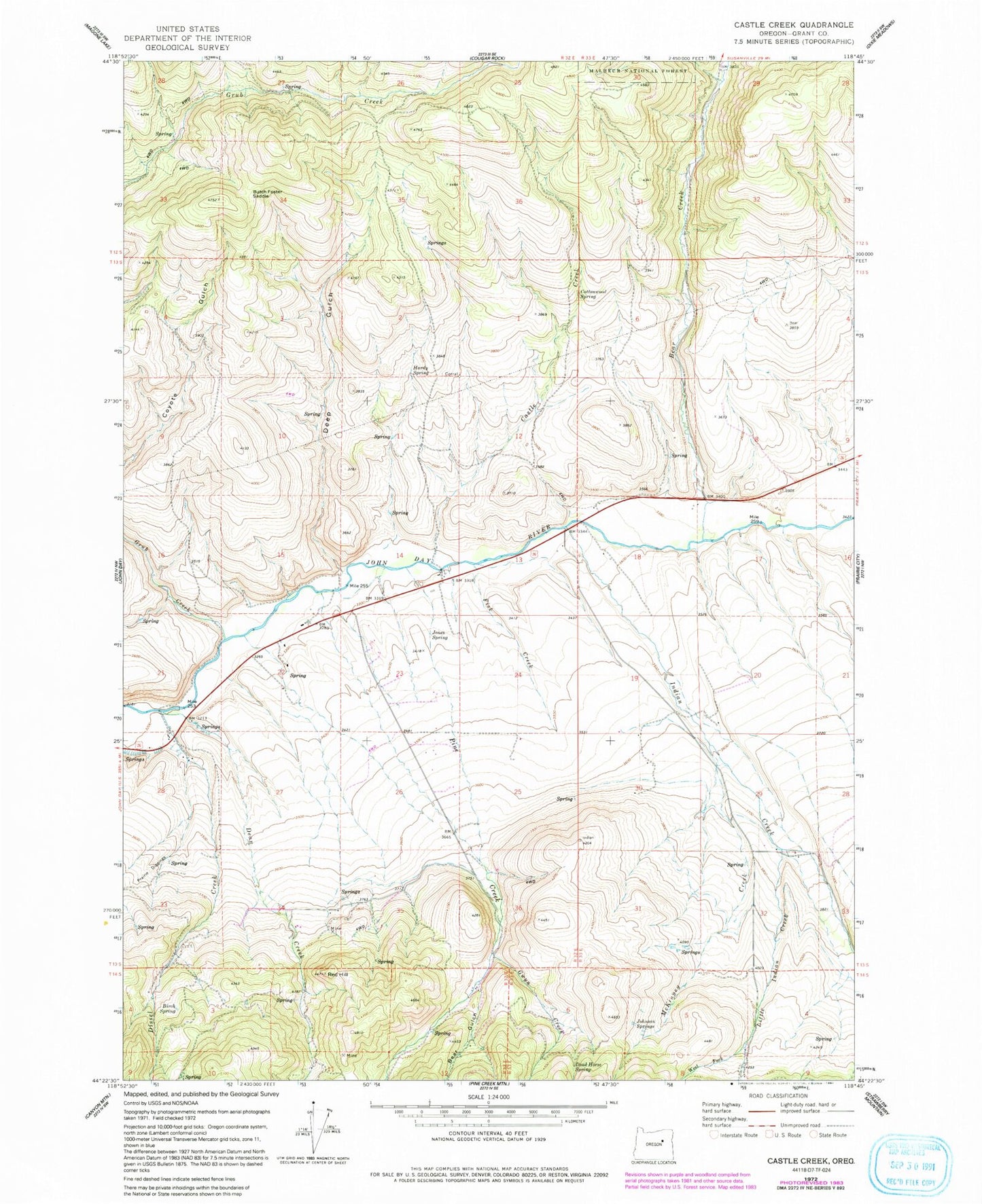
Classic USGS Castle Creek Oregon 7.5'x7.5' Topo Map
Couldn't load pickup availability
Historical USGS topographic quad map of Castle Creek in the state of Oregon. Map scale may vary for some years, but is generally around 1:24,000. Print size is approximately 24" x 27"
This quadrangle is in the following counties: Grant.
The map contains contour lines, roads, rivers, towns, and lakes. Printed on high-quality waterproof paper with UV fade-resistant inks, and shipped rolled.
Contains the following named places: Bear Creek, Bear Gulch, Big Gulch, Birch Spring, Butch Foster Saddle, Castle Creek, Clark Ranch, Cottonwood Spring, Dead Horse Spring, Dean Creek, Deep Gulch, Dissel Creek, Fisk Creek, Grub Creek, Gwyn Creek, H Coombs Ranch, H Ricco Ranch, Hall Hill, Hardy Spring, Holiday Ranch, Holliday Ranch, Howard Ranch, Indian Creek, Indian Creek School, John Day River Dam, Johnson Ranch, Johnson Springs, Jones Spring, Kuhl Ranch, Little Indian Creek, McKinney Creek, Oliver Ranch, Oliver Rock, Pine Creek, Prairie City Wastewater Treatment Lagoons, Prairie Diggings, Red Hill, West Fork Little Indian Creek, West Fork Pine Creek


