
MyTopo
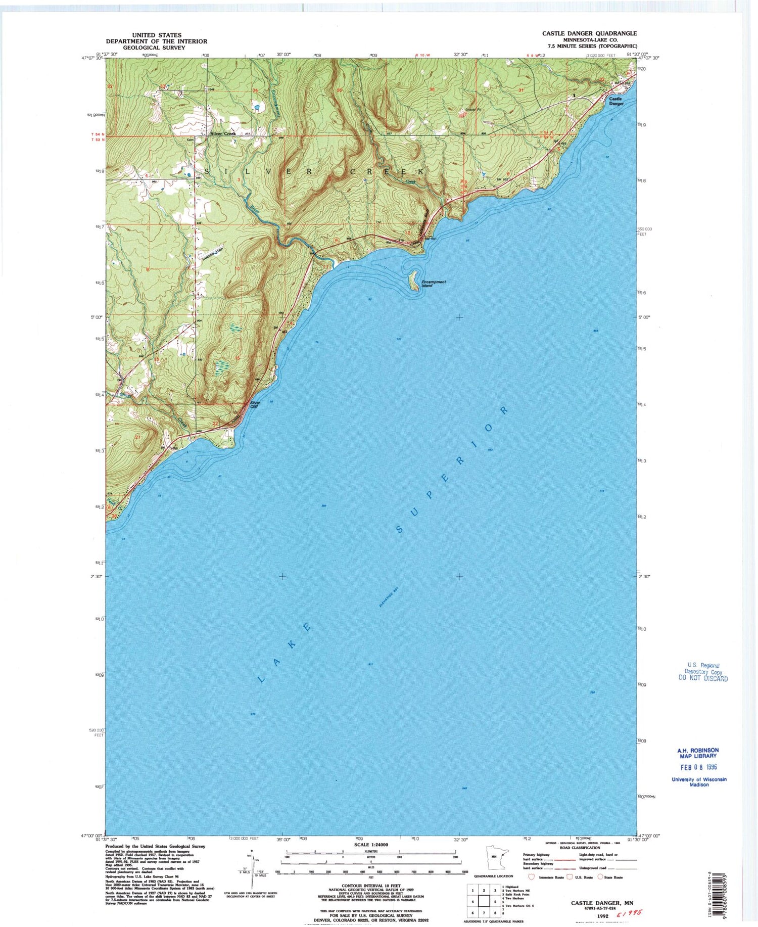
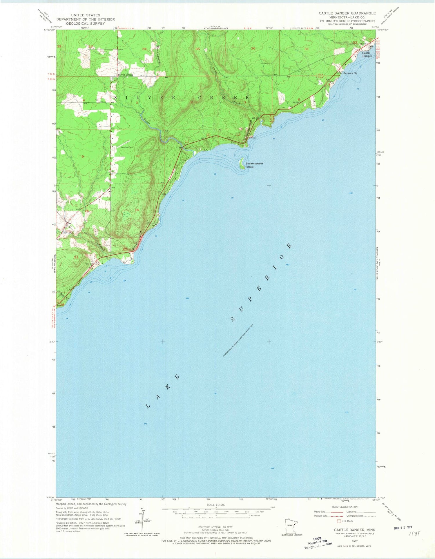
Classic USGS Castle Danger Minnesota 7.5'x7.5' Topo Map
Regular price
$16.95
Regular price
Sale price
$16.95
Unit price
per
Couldn't load pickup availability
Historical USGS topographic quad map of Castle Danger in the state of Minnesota. Map scale may vary for some years, but is generally around 1:24,000. Print size is approximately 24" x 27"
This quadrangle is in the following counties: Lake.
The map contains contour lines, roads, rivers, towns, and lakes. Printed on high-quality waterproof paper with UV fade-resistant inks, and shipped rolled.
Contains the following named places: Castle Danger, Crow Creek, Encampment Island, Encampment River, Lafayette Bluff, Our Saviours Church, Petes Creek, Silver Cliff, Silver Creek, Silver Creek Cemetery, Silver Creek Cliff Wayside Park, Silver Creek Community Church, Weideman International Airport


