MyTopo
Classic USGS Castle Gardens Wyoming 7.5'x7.5' Topo Map
Couldn't load pickup availability
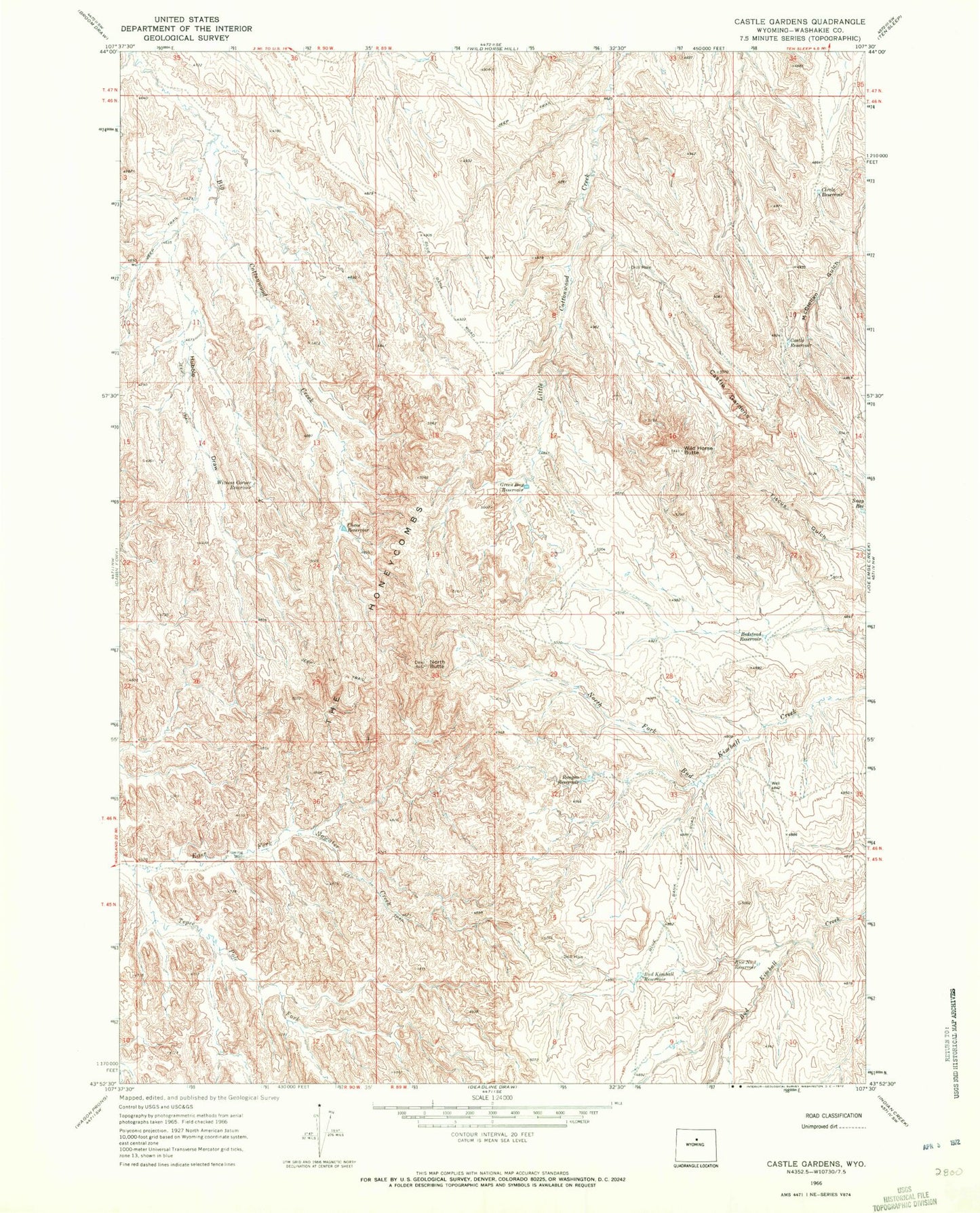
Historical USGS topographic quad map of Castle Gardens in the state of Wyoming. Map scale may vary for some years, but is generally around 1:24,000. Print size is approximately 24" x 27"
This quadrangle is in the following counties: Washakie.
The map contains contour lines, roads, rivers, towns, and lakes. Printed on high-quality waterproof paper with UV fade-resistant inks, and shipped rolled.
Contains the following named places: Bedstead Reservoir, Bud Kimball Reservoir, Castle Reservoir, Chess Reservoir, Circle Reservoir, Green Bug Reservoir, Hubble Draw, Kimball Draw Mine, North Butte, Rice Number 3 Reservoir, Roughs Reservoir, Snap Reservoir, Tepee Pole Draw, The Honeycombs, Wild Horse Butte, Witness Corner Reservoir