MyTopo
Classic USGS Castle Rock Minnesota 7.5'x7.5' Topo Map
Couldn't load pickup availability
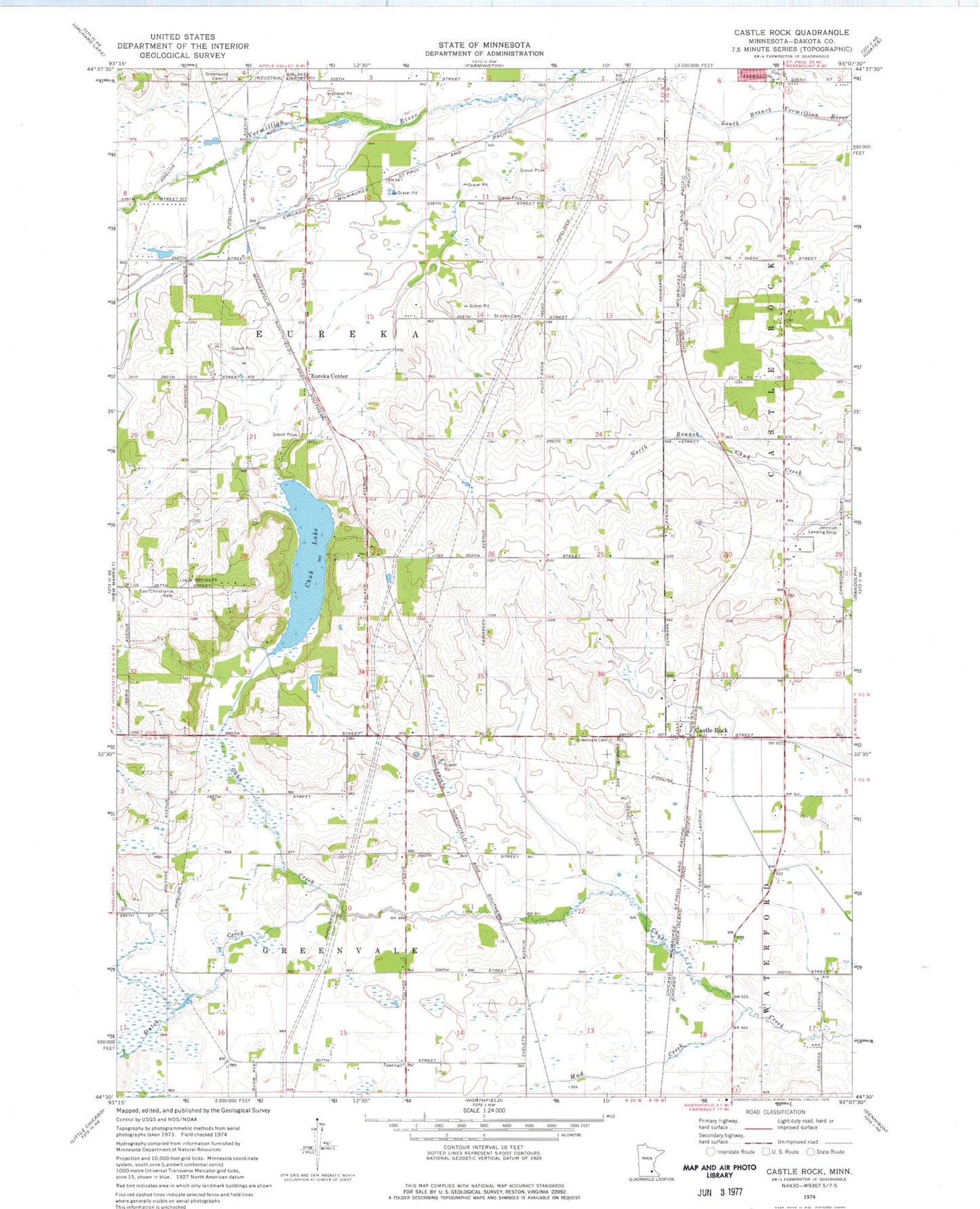
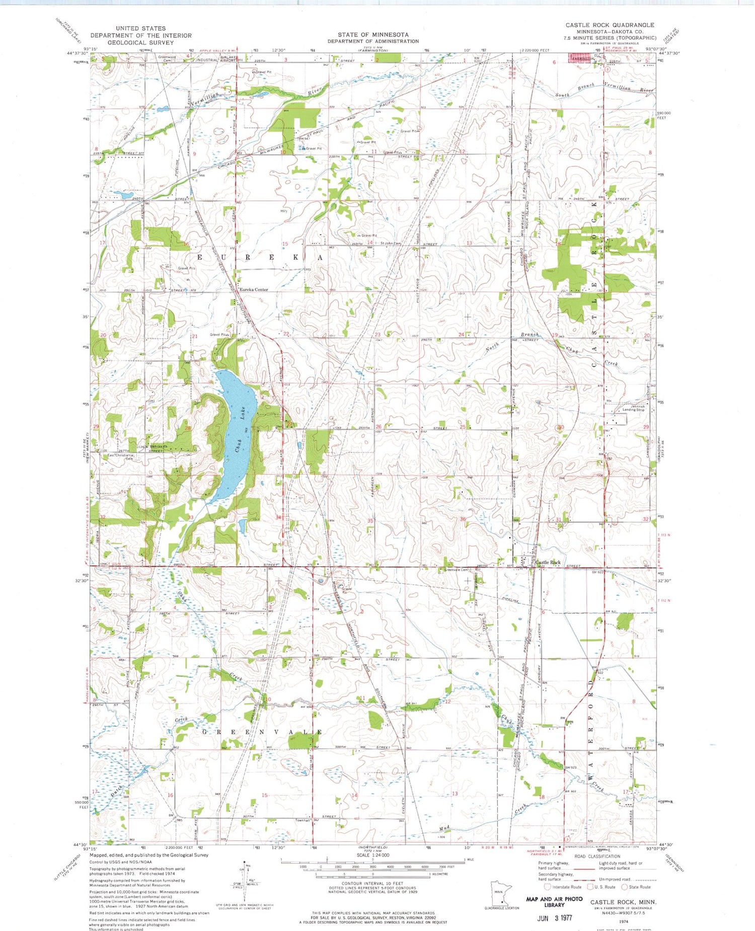
Historical USGS topographic quad map of Castle Rock in the state of Minnesota. Map scale may vary for some years, but is generally around 1:24,000. Print size is approximately 24" x 27"
This quadrangle is in the following counties: Dakota.
The map contains contour lines, roads, rivers, towns, and lakes. Printed on high-quality waterproof paper with UV fade-resistant inks, and shipped rolled.
Contains the following named places: Applewood Orchard, Castle Rock, Castle Rock Methodist Church, Castle Rock Post Office, Christiana Post Office, Chub Lake, Curry Airport, Dutch Creek, East Christiania Cemetery, Eureka Center, Eureka Center Church, Farmington Lutheran Cemetery, Greenvale Cemetery, Greenwood Cemetery, Highview Christiana Cemetery, Highview Church, Jennrich Field, Le Nores Airport, Mud Creek, Nielsen's Airport, Prairie Creek Community School, Township of Eureka, Township of Greenvale, Township of Waterford