MyTopo
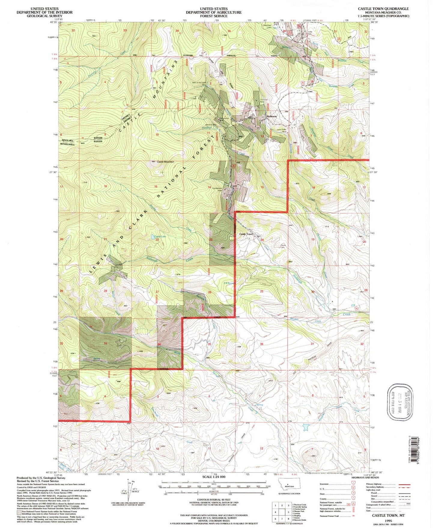
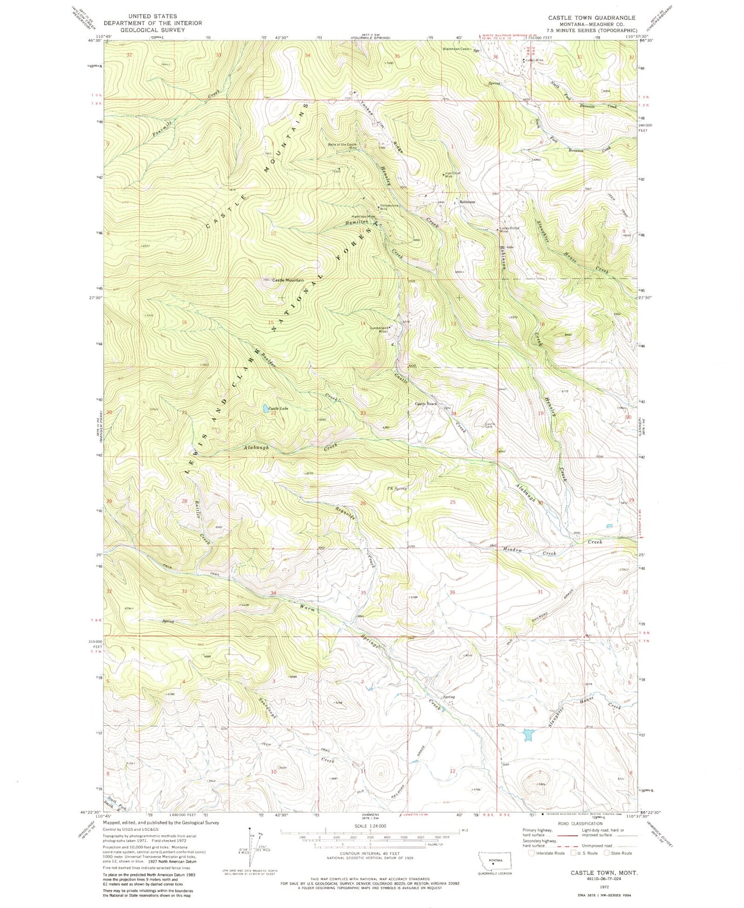
Classic USGS Castle Town Montana 7.5'x7.5' Topo Map
Couldn't load pickup availability
Historical USGS topographic quad map of Castle Town in the state of Montana. Typical map scale is 1:24,000, but may vary for certain years, if available. Print size: 24" x 27"
This quadrangle is in the following counties: Meagher.
The map contains contour lines, roads, rivers, towns, and lakes. Printed on high-quality waterproof paper with UV fade-resistant inks, and shipped rolled.
Contains the following named places: Belle of the Castle Mine, Blackhawk Cabin, Boulder Creek, Castle Cemetery, Castle Creek, Castle Lake, Castle Mountain, Castle Mountains, Cumberland Mines, Hamilton Creek, Hamilton Mine, Hensley Creek, Iron Chief Mine, Judge Mine, Lucky Dollar Mine, Meadow Creek, P K Spring, Rattler Creek, Reynolds Creek, Yankee Jim Ridge, Yellowstone Mine, Grande Dam, Cumberland Mine, Hidden Treasure Mine, Yellowstone Mine, Cornelius Stone Placer Mine, SW SW Section 36 Mine, Golden Eagle Mine, California Mine, Morning Star Mine, Compromise Mine, Homestake Mine, Silver Star Mine, Solid Silver Mine, Hillside Mine, Bond Holder Mine, SE SE Section 11 Mine, Broadway Mine, SE NE Section 11 Mine, Lamar Mine, SW SW Section 2 Mine, SW SW Section 35 Mine, SE SE Section 22 Mine, NW NW Section 27 Mine, Great Western Mine, SE SW Section 2 Mine, SW NE Section 2 Mine, NE NE Section 11 Mine, SE SW Section 34 Mine, Legal Tender Mine, NW SE Section 11 Mine, Castle Town, Robinson, Castle Post Office (historical), Leadboro Post Office (historical), Robinson Post Office (historical), Robinson School (historical), Leadboro Junction (historical), Leadboro (historical), Castle School (historical), Blackhawk (historical), Blackhawk Post Office (historical), Methodist Church (historical), Saint Andrews Episcopal Church (historical)


