
MyTopo
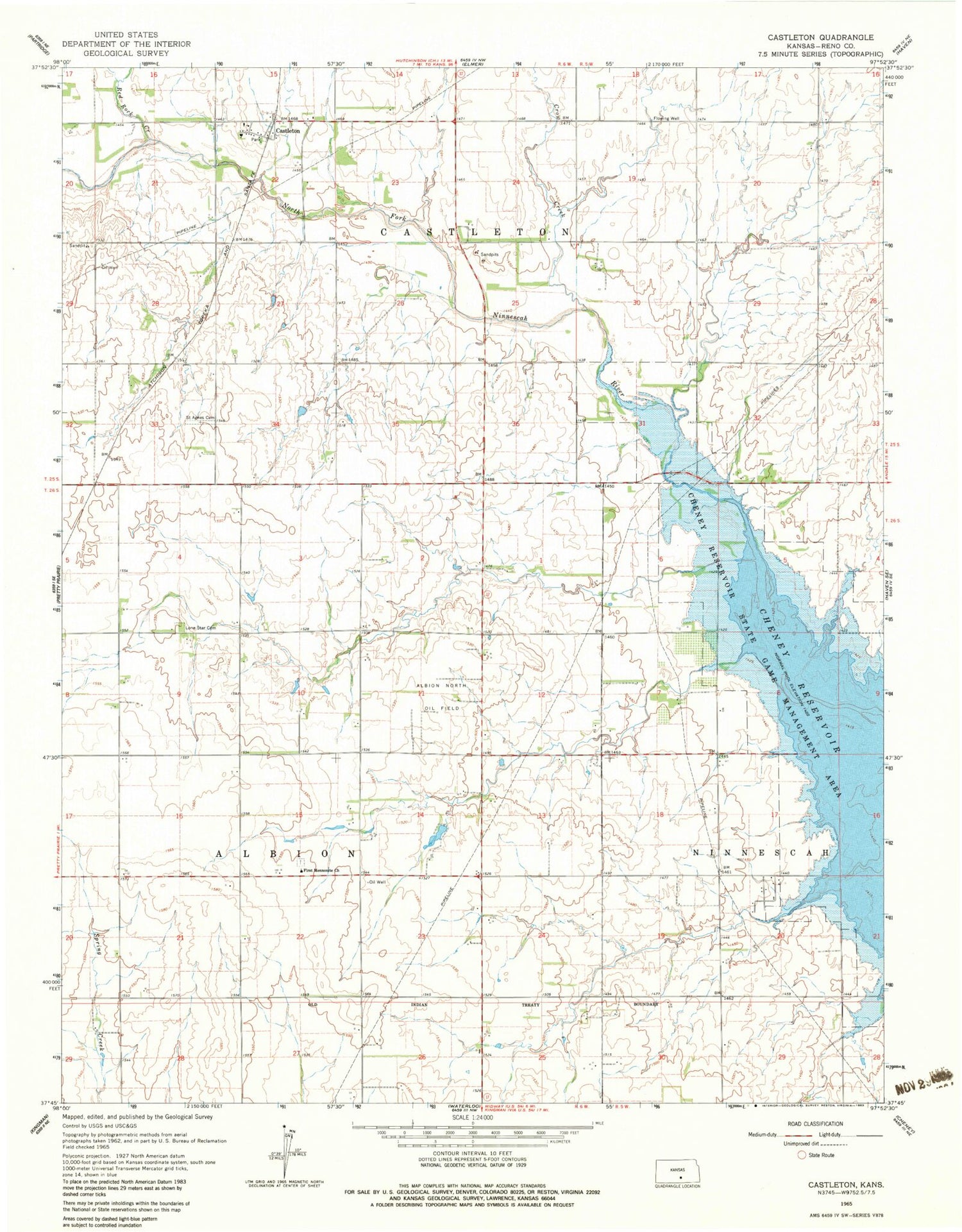
Classic USGS Castleton Kansas 7.5'x7.5' Topo Map
Couldn't load pickup availability
Historical USGS topographic quad map of Castleton in the state of Kansas. Map scale may vary for some years, but is generally around 1:24,000. Print size is approximately 24" x 27"
This quadrangle is in the following counties: Reno.
The map contains contour lines, roads, rivers, towns, and lakes. Printed on high-quality waterproof paper with UV fade-resistant inks, and shipped rolled.
Contains the following named places: Albion North Oil Field, Blue River Wildlife Area, Castleton, Crow Creek, First Mennonite Church, KCVW - FM (Pretty Prairie), Lone Star Cemetery, Purity, Red Rock Creek, Saint Agnes Cemetery, Team Marketing Alliance Grain Elevator Number 9, Township of Albion, Township of Castleton, ZIP Code: 67570


