MyTopo
Classic USGS Castleton Virginia 7.5'x7.5' Topo Map
Couldn't load pickup availability
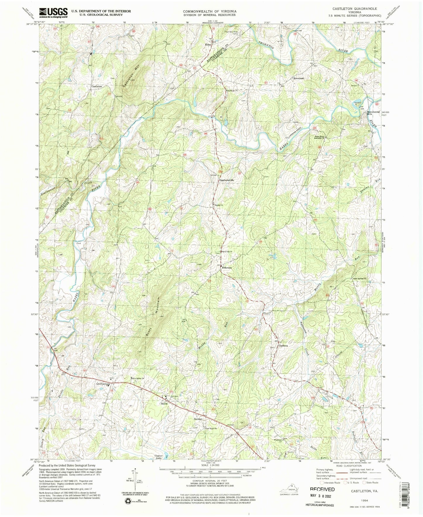
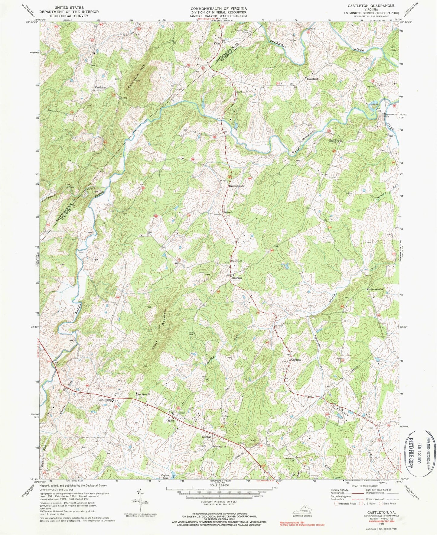
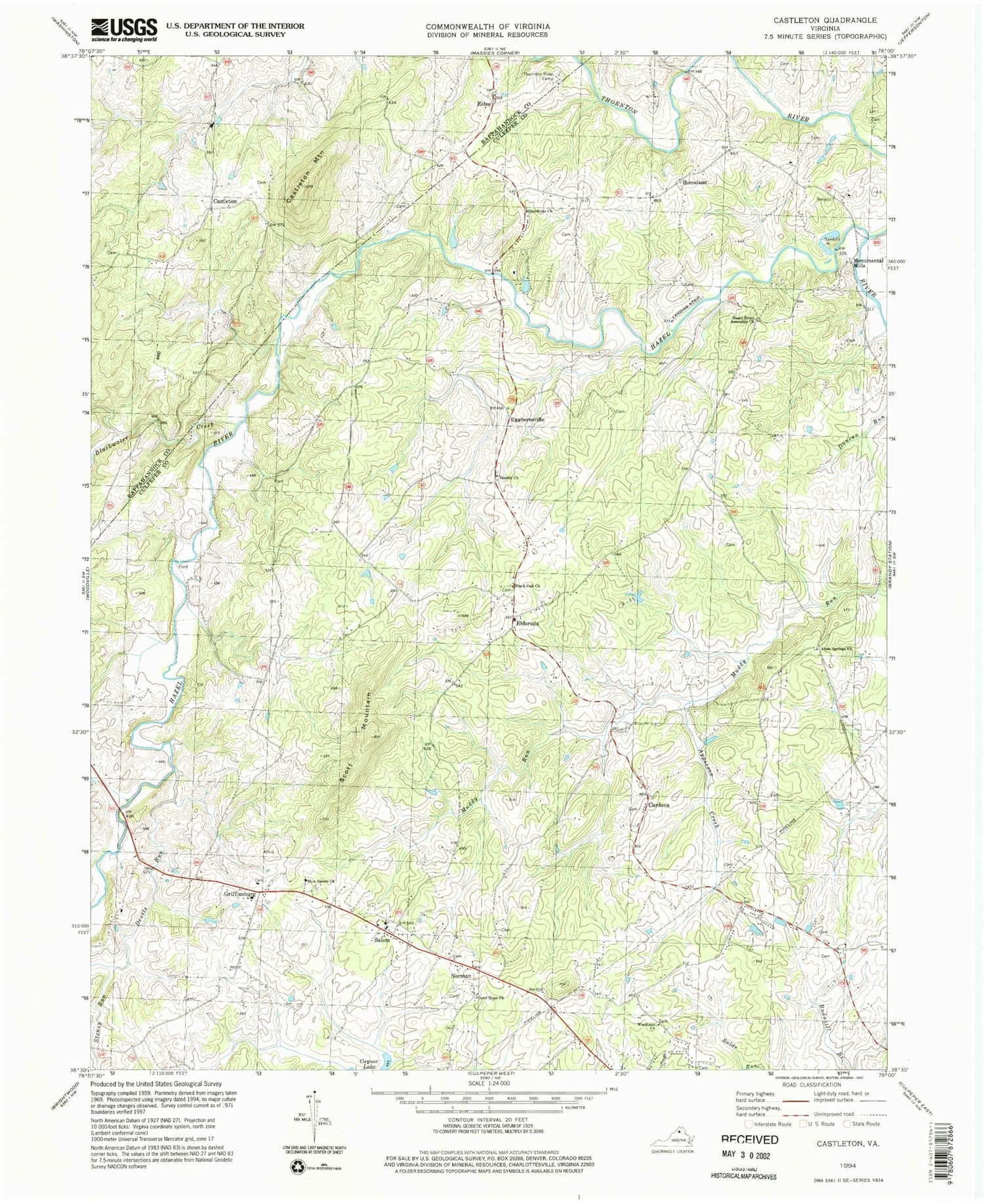
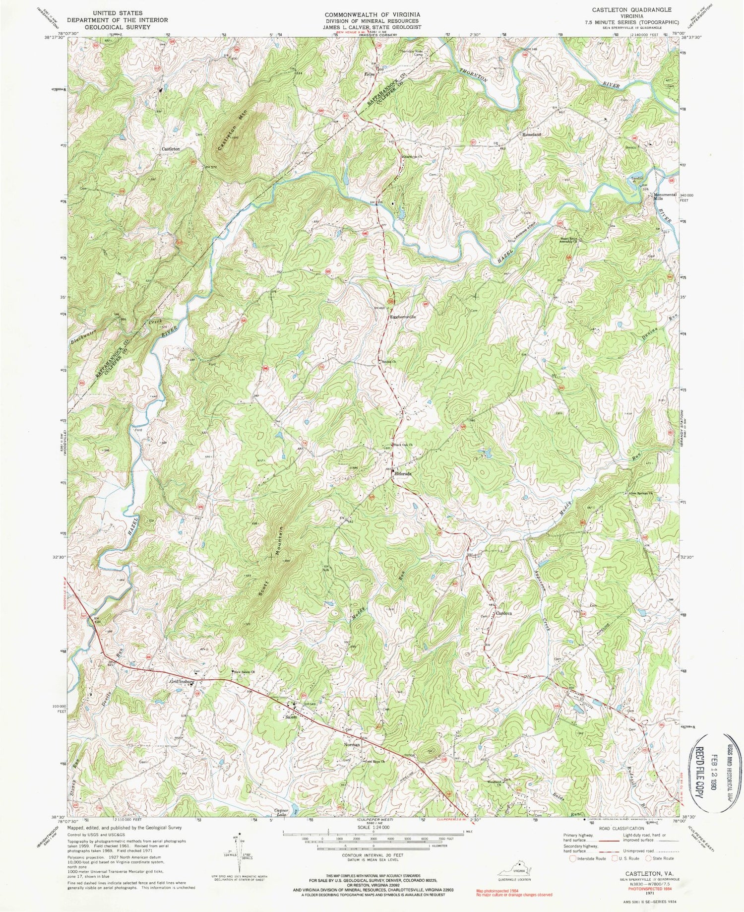
Historical USGS topographic quad map of Castleton in the state of Virginia. Map scale may vary for some years, but is generally around 1:24,000. Print size is approximately 24" x 27"
This quadrangle is in the following counties: Culpeper, Rappahannock.
The map contains contour lines, roads, rivers, towns, and lakes. Printed on high-quality waterproof paper with UV fade-resistant inks, and shipped rolled.
Contains the following named places: Alum Springs Church, Apperson Creek, Beulah Church, Black Oak Church, Blackwater Creek, Cardova, Castleton, Castleton Community Volunteer Fire Company, Castleton Mountain, Catalpa District, Chesterfield Estates, Compton Dam, Davis Mountain, Devils Run, Dunker Church, Eggbornsville, Eldorada, Eldorado School, Estes, Fields at Griffinsburg, Good Hope Baptist Church, Gourdvine Church, Griffinsburg, Hazel River Assembly Church, Homeland, Hope Hill Baptist Church, Kerrington, Kingdom Hall Church, Monumental Mills, Monumental Mills Dam, New Salem Church, Norman, Norman School, Salem, Salem District, Salem School, Salem Volunteer Department, Salem Volunteer Fire and Rescue, Scott Mountain, Stoney Run, Thornton River, Thornton River Camp, Village at Griffinsburg, West Lakes, Woodland Church, ZIP Codes: 22713, 22737


