MyTopo
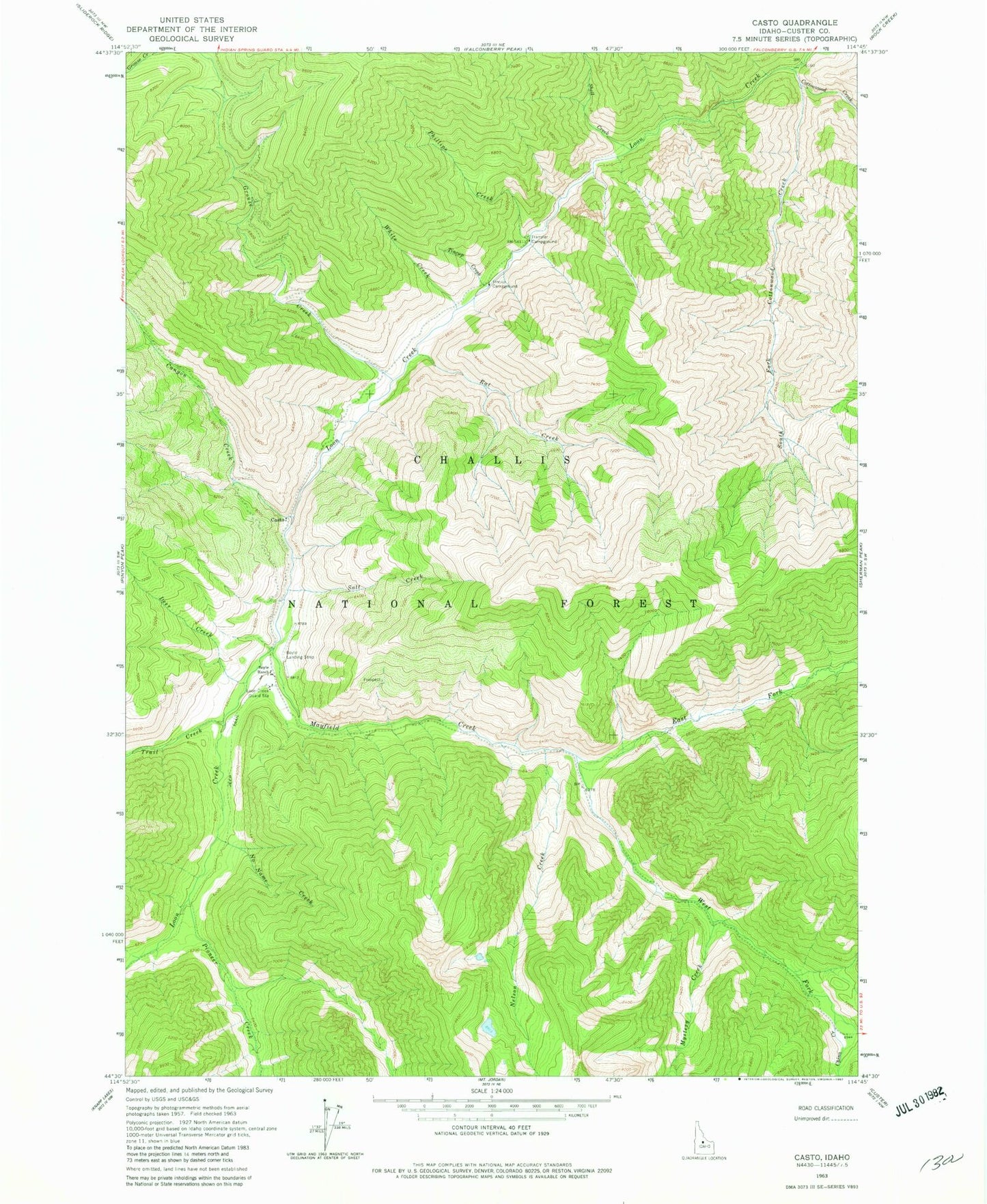
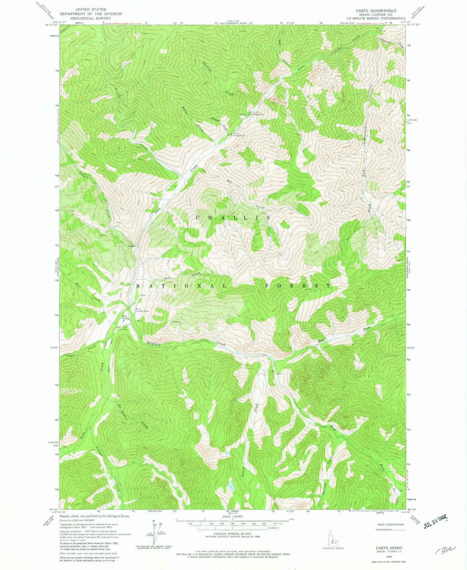
Classic USGS Casto Idaho 7.5'x7.5' Topo Map
Couldn't load pickup availability
Historical USGS topographic quad map of Casto in the state of Idaho. Typical map scale is 1:24,000, but may vary for certain years, if available. Print size: 24" x 27"
This quadrangle is in the following counties: Custer.
The map contains contour lines, roads, rivers, towns, and lakes. Printed on high-quality waterproof paper with UV fade-resistant inks, and shipped rolled.
Contains the following named places: Boyle Ranch, Canyon Creek, China Creek, Cottonwood Creek, Deer Creek, East Fork Mayfield Creek, Grouse Creek, Loon Creek Guard Station, Mayfield Creek, Mystery Creek, Nelson Creek, No Name Creek, Phillips Creek, Rat Creek, Salt Creek, Shell Creek, South Fork Cottonwood Creek, Tincup Campground, Tincup Creek, Trail Creek, Transfer Campground, West Fork Mayfield Creek, White Creek, Phillips Creek Transfer Campground, Mayfield Creek Recreation Site, Mystery Creek Recreation Site, Rat Creek Recreation Site, Monte Cristo Recreation Site, China Creek Recreation Site, Upper Loon Creek USFS Airport, Casto, Pioneer Creek, Boyle Landing Strip (historical)


