MyTopo
Classic USGS Catahoula Bay Louisiana 7.5'x7.5' Topo Map
Couldn't load pickup availability
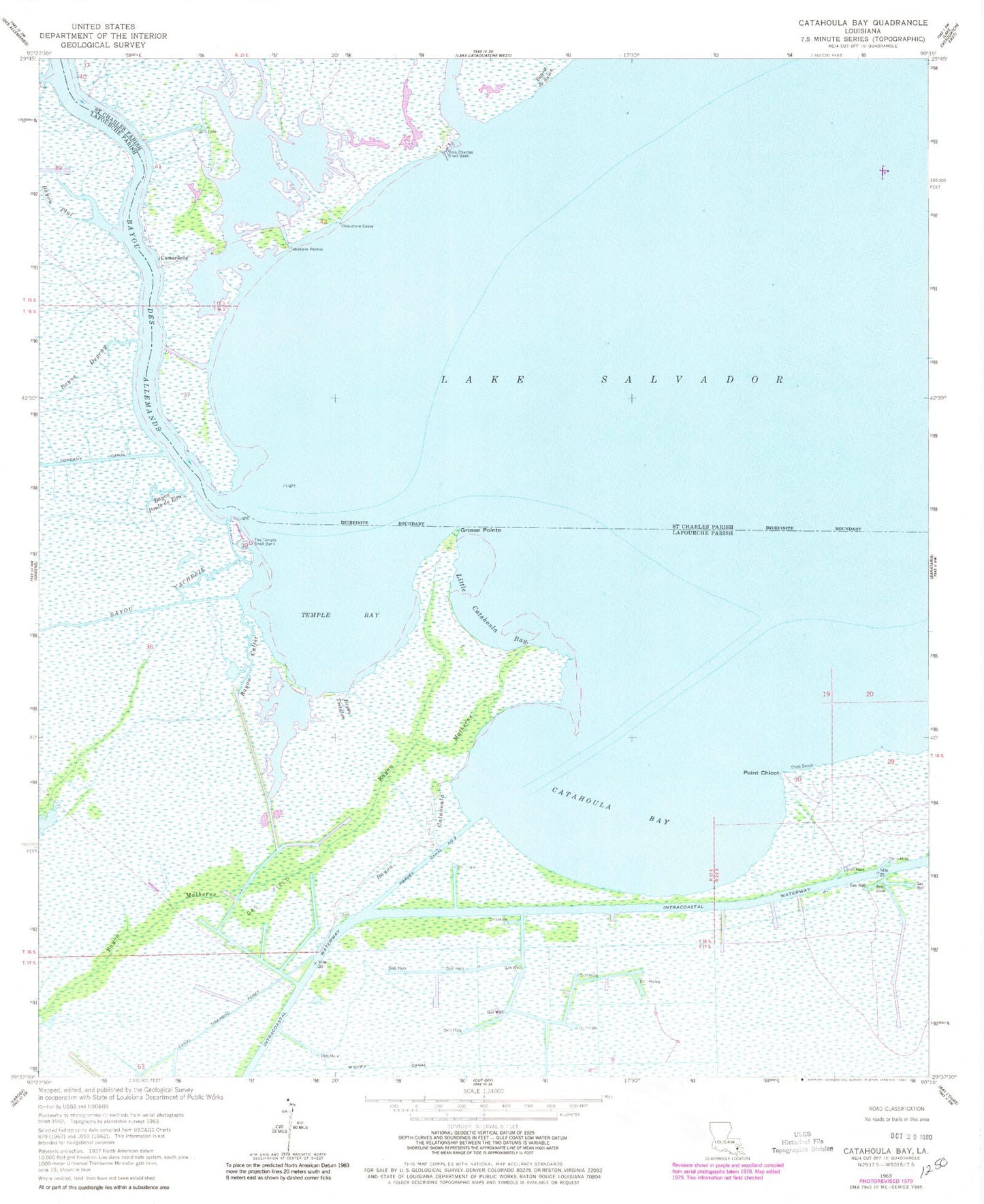
Historical USGS topographic quad map of Catahoula Bay in the state of Louisiana. Map scale may vary for some years, but is generally around 1:24,000. Print size is approximately 24" x 27"
This quadrangle is in the following counties: Lafourche, St. Charles.
The map contains contour lines, roads, rivers, towns, and lakes. Printed on high-quality waterproof paper with UV fade-resistant inks, and shipped rolled.
Contains the following named places: Baie des Chactas, Bayou Calfat, Bayou Catahoula, Bayou de Sauce, Bayou Degruy, Bayou des Allemands, Bayou Matherne, Bayou Plat, Bayou Poule De Eau, Bayou Tortillon, Bayou Vacherie, Bois Chactas Shell Bank, Camardelle, Catahoula Bay, Chaudiere Casse, Grosse Pointe, Harvey Canal Number Two, Larose Oil and Gas Field, Point Chicot, Point Chicot Gas Field, Shell Beach, Tabatiere Perdue, Temple Bay, The Temple Shell Bank, Wickey Canal