MyTopo
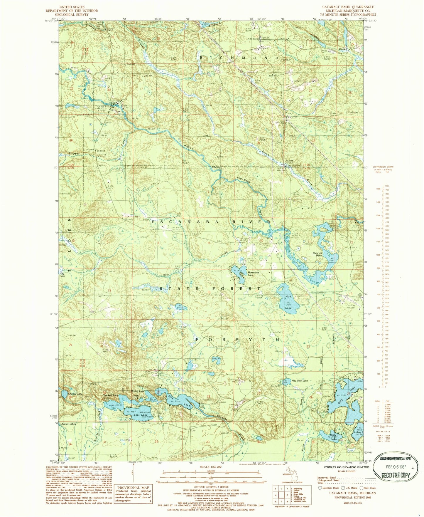
Classic USGS Cataract Basin Michigan 7.5'x7.5' Topo Map
Couldn't load pickup availability
Historical USGS topographic quad map of Cataract Basin in the state of Michigan. Map scale may vary for some years, but is generally around 1:24,000. Print size is approximately 24" x 27"
This quadrangle is in the following counties: Marquette.
The map contains contour lines, roads, rivers, towns, and lakes. Printed on high-quality waterproof paper with UV fade-resistant inks, and shipped rolled.
Contains the following named places: Bakkala Cemetery, Bass Lake, Bass Lake State Forest Campground, Bear Creek, Cataract Basin, Cataract Dam Falls, Charley Lake, Crooked Lake, Flopper Creek, Hay Wire Lake, Horseshoe Lake, Miller Lake, Mud Lake, Pike Lake, Pike Lake State Forest Campground, Shag Lake, Spring Lake