MyTopo
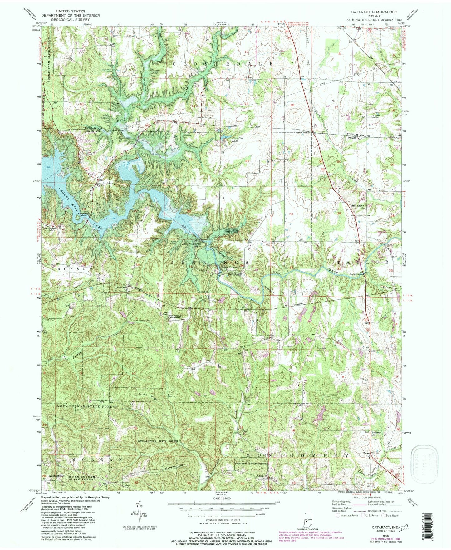
Classic USGS Cataract Indiana 7.5'x7.5' Topo Map
Couldn't load pickup availability
Historical USGS topographic quad map of Cataract in the state of Indiana. Typical map scale is 1:24,000, but may vary for certain years, if available. Print size: 24" x 27"
This quadrangle is in the following counties: Owen, Putnam.
The map contains contour lines, roads, rivers, towns, and lakes. Printed on high-quality waterproof paper with UV fade-resistant inks, and shipped rolled.
Contains the following named places: Atkinsonville, Bethany Church, Buckskin Church, Carolina Church, Carp, Cataract, Corns Ridge, Cuba, Devore, Doe Creek, Ernie Pyle Island, Hale Hill, Lower Cataract Falls, Maze Cemetery, Mill Grove Church, Owen-Putnam State Forest, Paradise Lake, Smith Cemetery, Upper Cataract Falls, Camp Otto Lake, Camp Otto Lake Dam, Cunot, Township of Jennings, Cataract Volunteer Fire Department