MyTopo
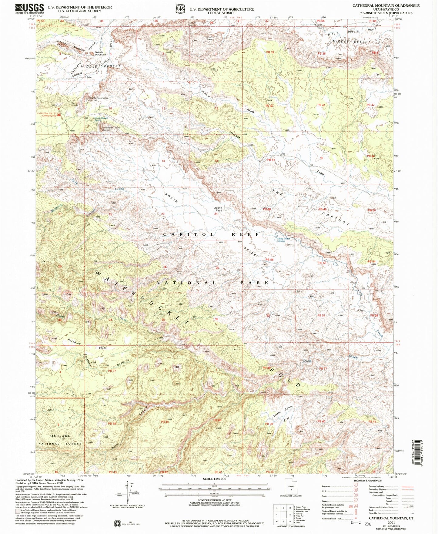
Classic USGS Cathedral Mountain Utah 7.5'x7.5' Topo Map
Couldn't load pickup availability
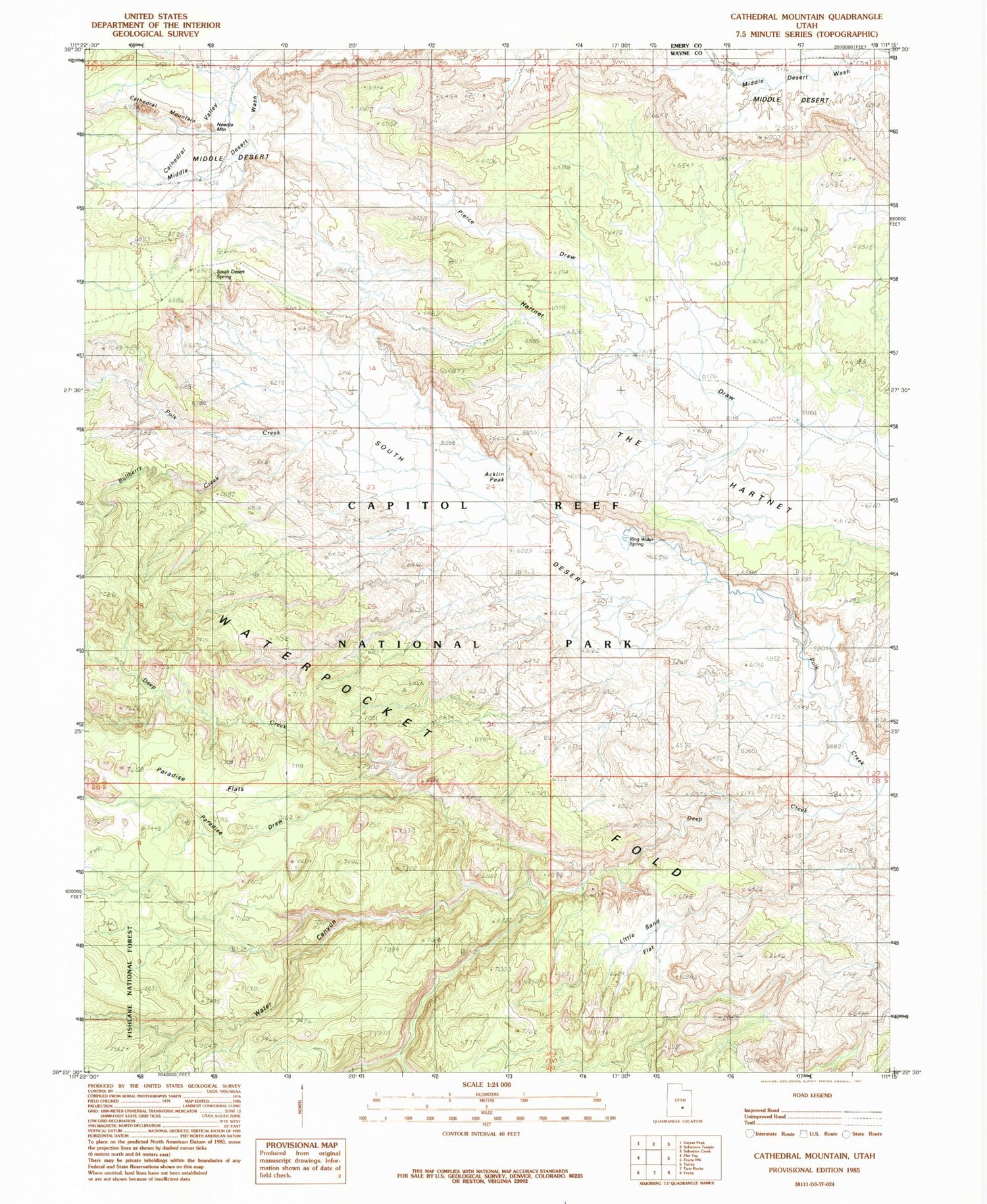
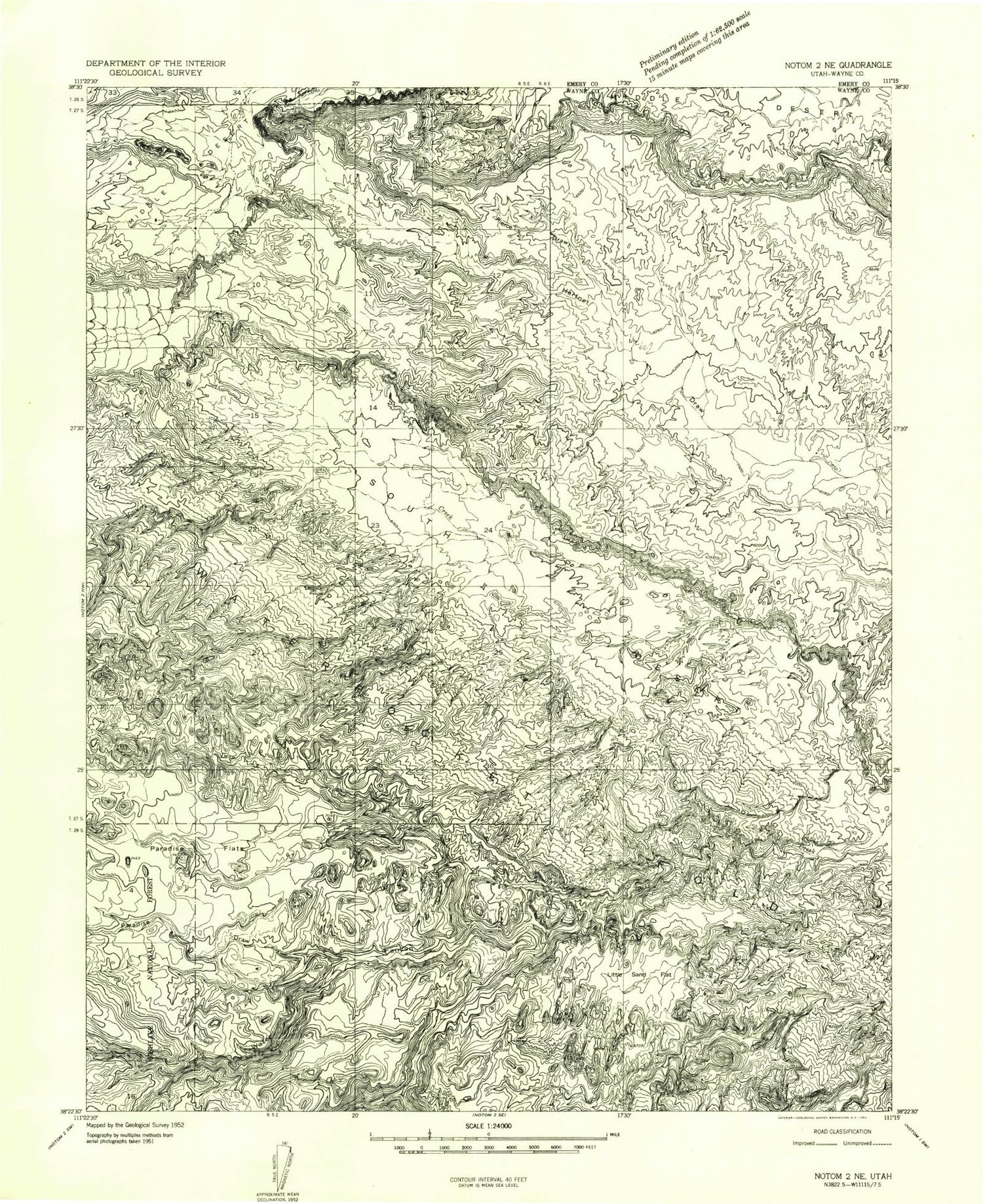
Historical USGS topographic quad map of Cathedral Mountain in the state of Utah. Typical map scale is 1:24,000, but may vary for certain years, if available. Print size: 24" x 27"
This quadrangle is in the following counties: Emery, Wayne.
The map contains contour lines, roads, rivers, towns, and lakes. Printed on high-quality waterproof paper with UV fade-resistant inks, and shipped rolled.
Contains the following named places: Bullberry Creek, Little Sand Flat, Paradise Draw, Paradise Flats, Pierce Draw, Polk Creek, Water Canyon, Acklin Peak, Cathedral Mountain, Cathedral Valley View Area, Collins Creek, Gypsum Sinkhole, Needle Mountain, Ring Water Spring, South Desert Spring, Cathedral Valley, Bullberry Creek, Little Sand Flat, Paradise Draw, Paradise Flats, Pierce Draw, Polk Creek, Water Canyon, Acklin Peak, Cathedral Mountain, Cathedral Valley View Area, Collins Creek, Gypsum Sinkhole, Needle Mountain, Ring Water Spring, South Desert Spring, Cathedral Valley