MyTopo
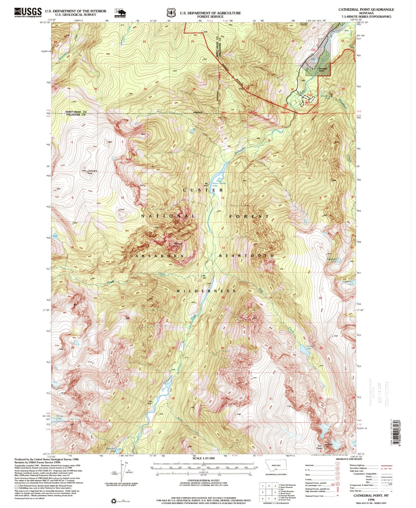
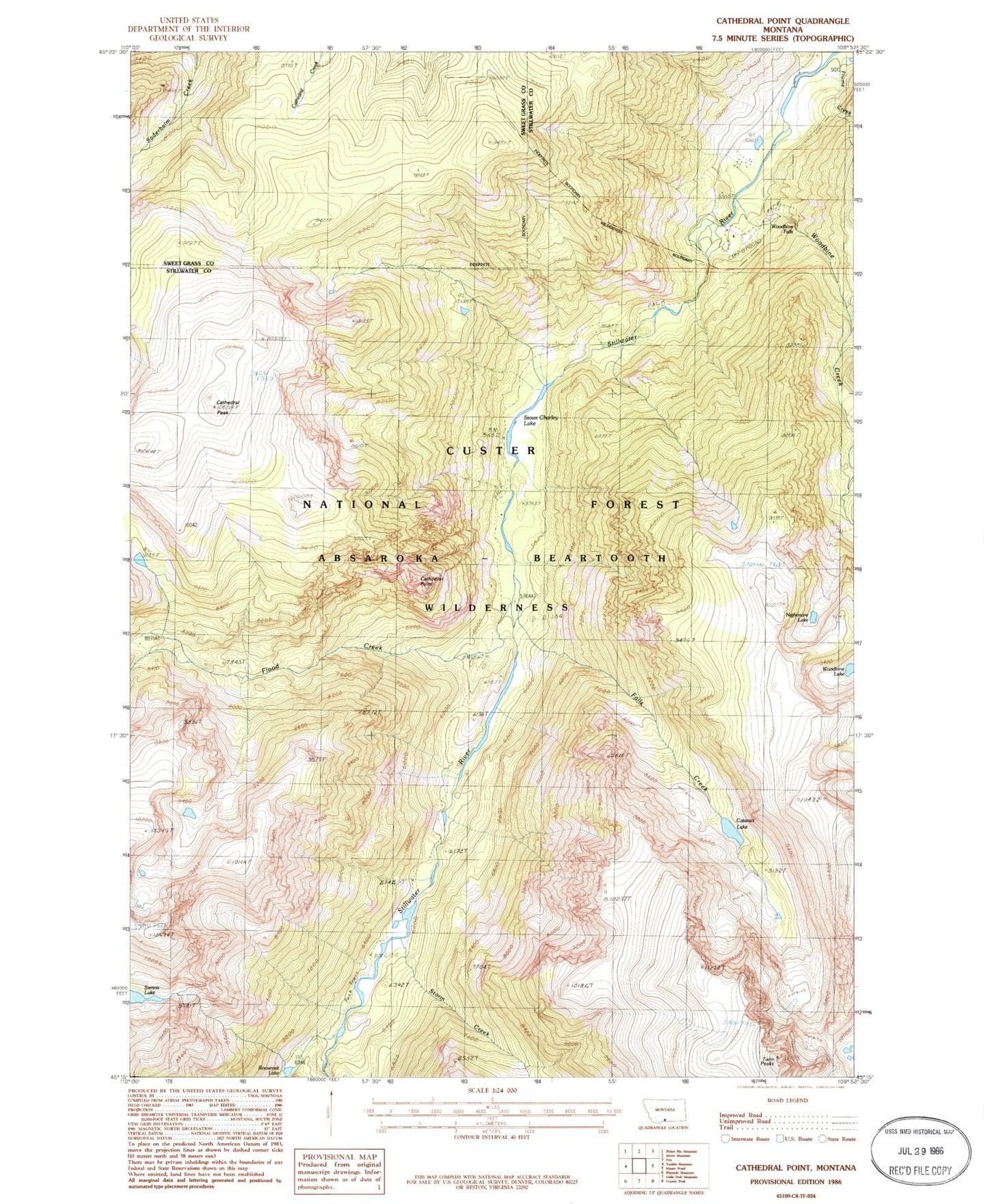
Classic USGS Cathedral Point Montana 7.5'x7.5' Topo Map
Couldn't load pickup availability
Historical USGS topographic quad map of Cathedral Point in the state of Montana. Typical map scale is 1:24,000, but may vary for certain years, if available. Print size: 24" x 27"
This quadrangle is in the following counties: Stillwater, Sweet Grass.
The map contains contour lines, roads, rivers, towns, and lakes. Printed on high-quality waterproof paper with UV fade-resistant inks, and shipped rolled.
Contains the following named places: Beartooth Ranch, Cathedral Peak, Cathedral Point, Dayton Cabin, Falls Creek, Flood Creek, Flume Creek, Roosevelt Lake, Sioux Charley Lake, Storm Creek, Twin Peaks, Woodbine Creek, Woodbine Campground, Sienna Lake, Nightmare Lake, Cataract Lake, Woodbine Falls, Woodbine Lake, 05S15E32DBDD01 Well, 05S15E32DBCA01 Well, Mouat (historical)


