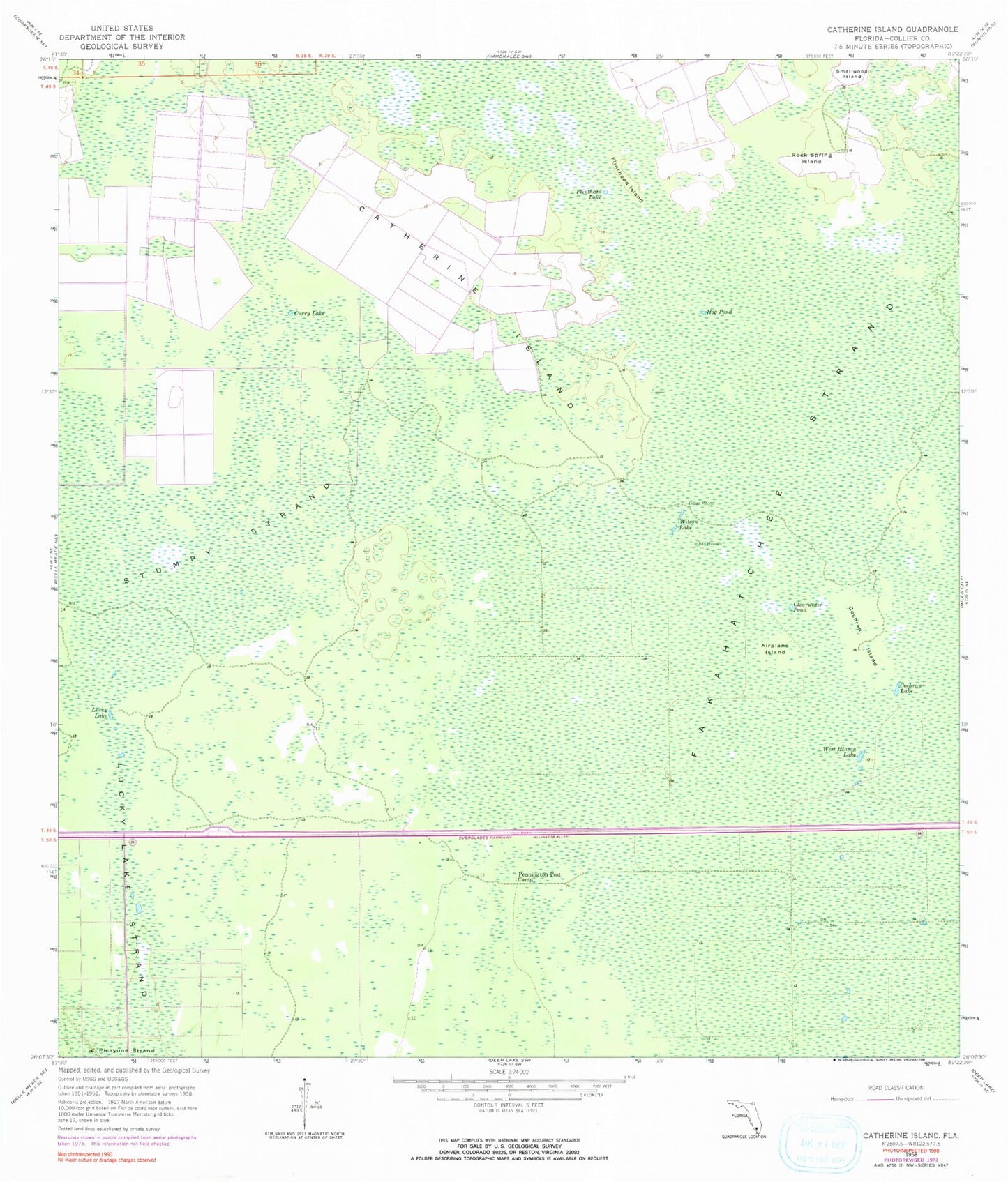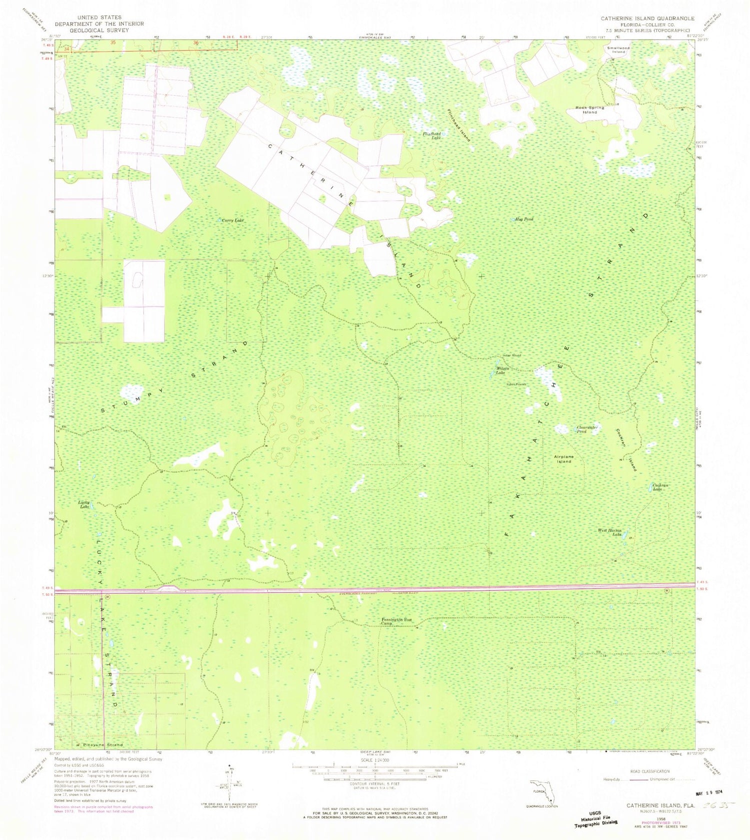
MyTopo
Classic USGS Catherine Island Florida 7.5'x7.5' Topo Map
Couldn't load pickup availability
Historical USGS topographic quad map of Catherine Island in the state of Florida. Map scale may vary for some years, but is generally around 1:24,000. Print size is approximately 24" x 27"
This quadrangle is in the following counties: Collier.
The map contains contour lines, roads, rivers, towns, and lakes. Printed on high-quality waterproof paper with UV fade-resistant inks, and shipped rolled.
Contains the following named places: Airplane Island, Big Cypress Swamp, Catherine Island, Clearwater Pond, Cochran Island, Cochran Lake, Curry Lake, Flinthead Island, Flinthead Lake, Florida Panther National Wildlife Refuge, Hog Pond, Lucky Lake, Lucky Lake Strand, Pennington Post Camp, Rock Spring Island, Stumpy Strand, West Hinson Lake, Wilson Lake