MyTopo
Classic USGS Catherine Lake North Carolina 7.5'x7.5' Topo Map
Couldn't load pickup availability
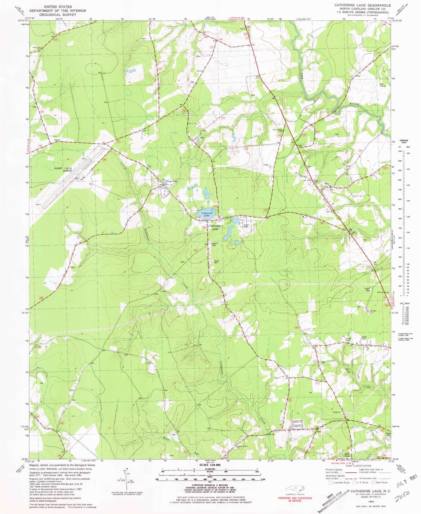
Historical USGS topographic quad map of Catherine Lake in the state of North Carolina. Map scale may vary for some years, but is generally around 1:24,000. Print size is approximately 24" x 27"
This quadrangle is in the following counties: Onslow.
The map contains contour lines, roads, rivers, towns, and lakes. Printed on high-quality waterproof paper with UV fade-resistant inks, and shipped rolled.
Contains the following named places: Albert J Ellis Airport, Albert J Ellis Airport Fire and Rescue, Antioch Church, Back Swamp Volunteer Fire Department, Bethel Church, Catherine Lake, Cowhorn Swamp, Faith Tabernacle Church, Family of God Church, Floyd Lake, Fox Creek Mobile Home Park, Lake Catherine, Little Mission Temple, Onslow County EMS Station 4, Onslow Gospel Assembly, Rhodestown Volunteer Fire Department, Richlands Church, Saint Mary Church, Township of Jacksonville, Township of Richlands, Union Chapel Church, Union Church, ZIP Code: 28540