MyTopo
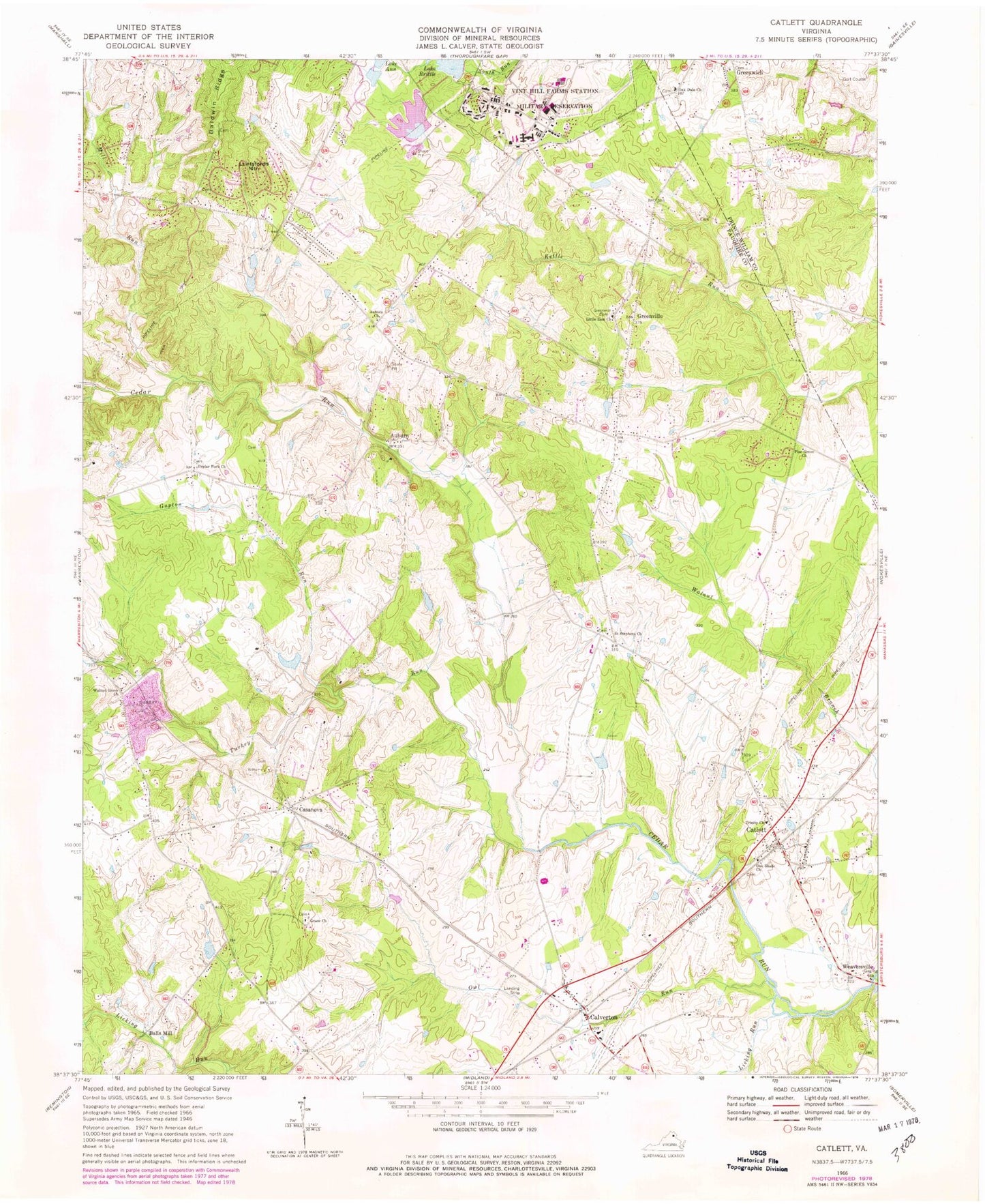
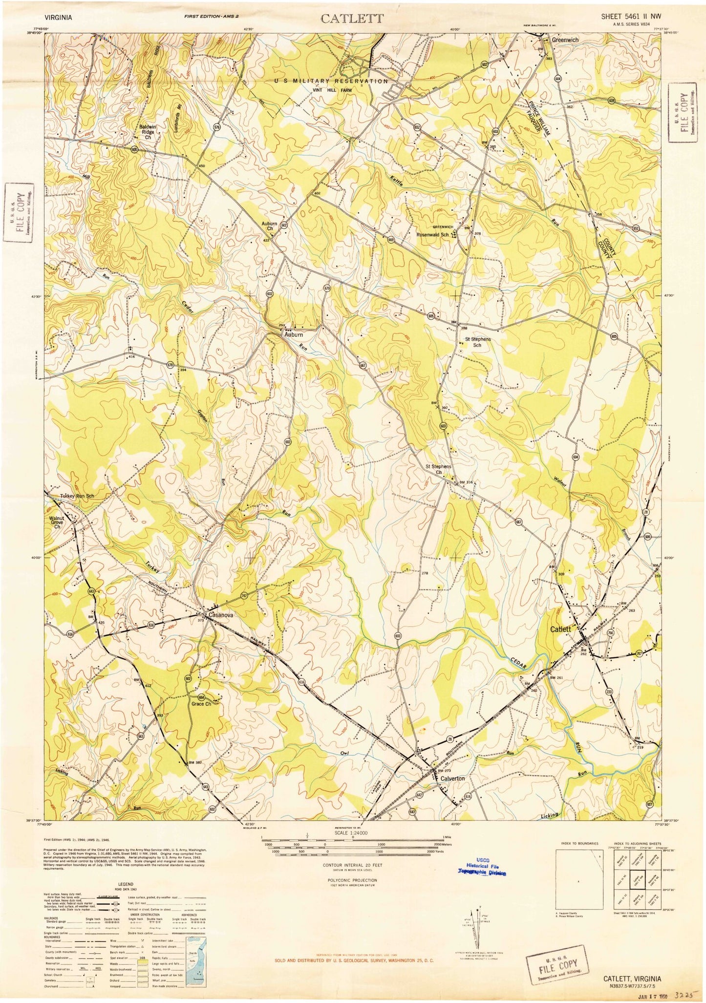
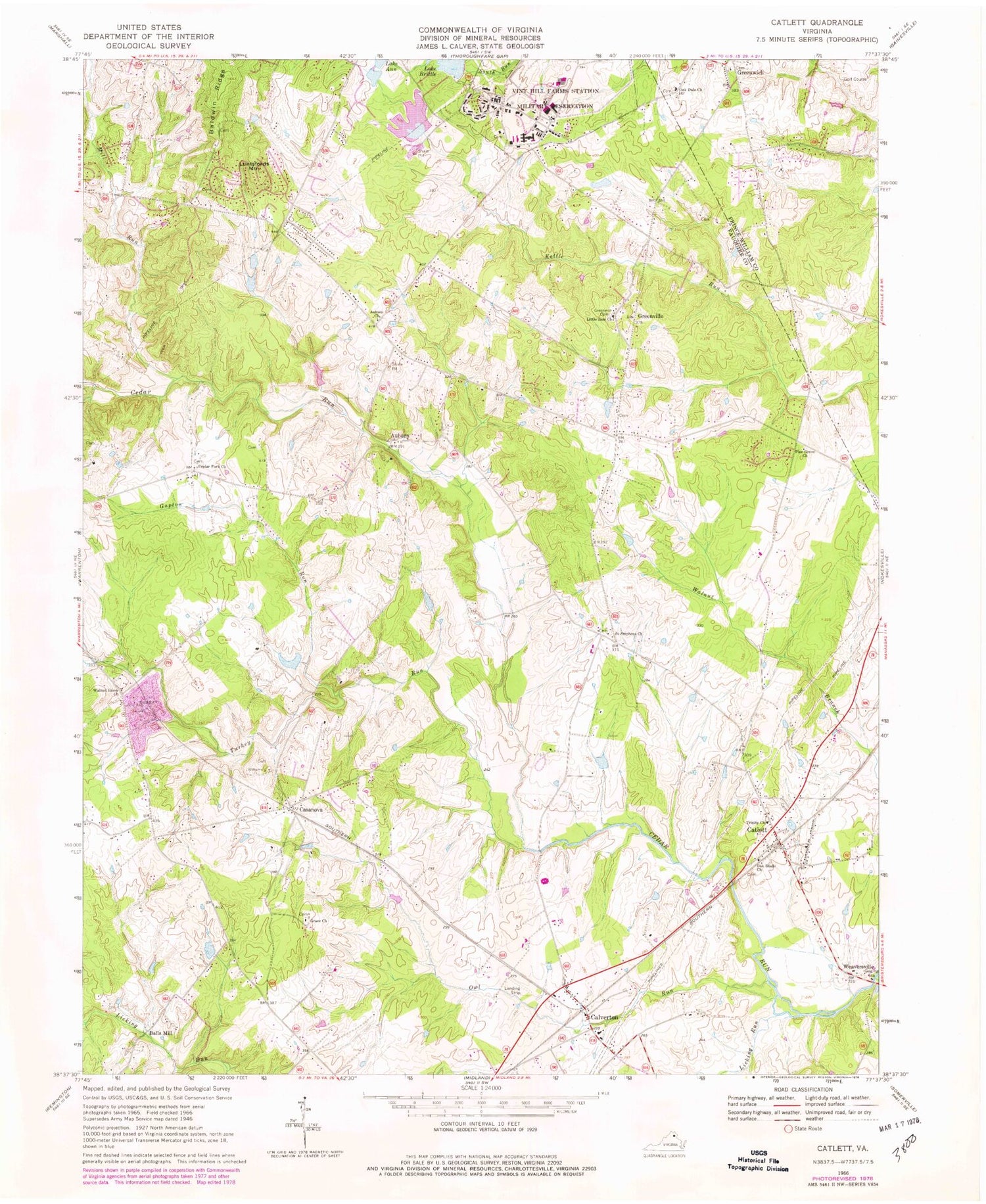
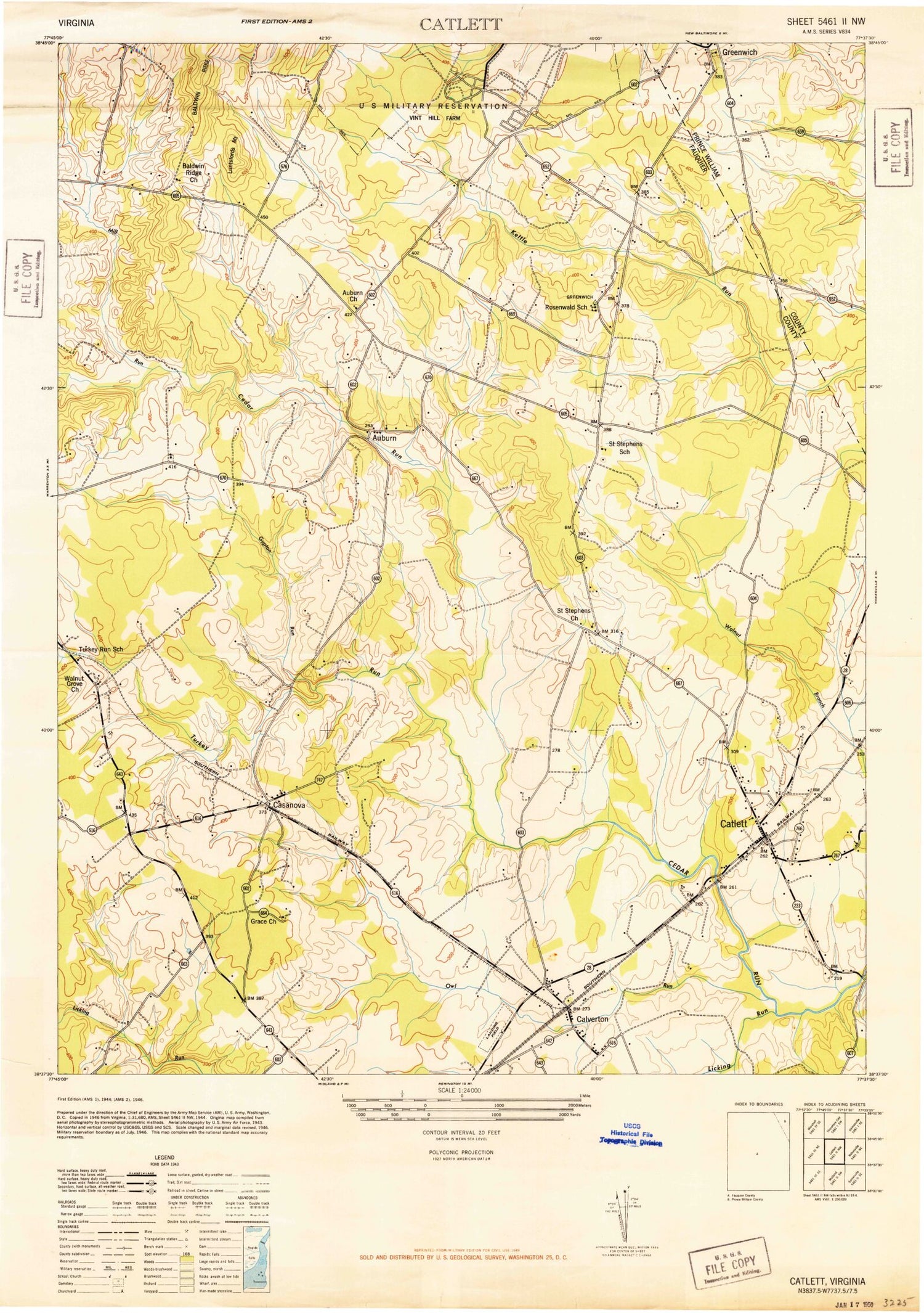
Classic USGS Catlett Virginia 7.5'x7.5' Topo Map
Couldn't load pickup availability
Historical USGS topographic quad map of Catlett in the state of Virginia. Typical map scale is 1:24,000, but may vary for certain years, if available. Print size: 24" x 27"
This quadrangle is in the following counties: Fauquier, Prince William.
The map contains contour lines, roads, rivers, towns, and lakes. Printed on high-quality waterproof paper with UV fade-resistant inks, and shipped rolled.
Contains the following named places: Auburn Church, Grace Church, Gupton Run, Licking Run, Little Zion Church, Mill Run, Oak Dale Church, Oak Shade Church, Owl Run, Pine Grove Mennonite Church, Poplar Fork Church, Saint Stephens Church, Trinity Church, Turkey Run, Walnut Grove Church, Lake Anne, Springhill Farm Dam, Springhill Farm Pond, Silbersiepe Dam, Silbersiepe Pond, Lake Brittle Dam, Auburn, Balls Mill, Calverton, Casanova, Catlett, Greenville, Greenwich, Luntsfords Mountain, Weaversville, Skyview Airport, Calverton Methodist Episcopal Church, Calverton Post Office, Catlett Assembly of God Church, Catlett Nazarene Church, Catlett Post Office, Cedar Run Bridge, Godfreys Corner, H M Pearson Elementary School, North Fork Walnut Branch, Oak Tree Corner, Poplar Forks Cemetery, Resenwald School (historical), Saint Stephens, Saint Stephens School (historical), Turkey Run, Turkey Run School (historical), Greenwich Acres, Greenwich Cemetery, Greenwich Park, Greenwich Presbyterian Church, Auburn Middle School, Catlett Volunteer Fire and Rescue Company, Cedar Run Volunteer Rescue Squad, Cedar Run Volunteer Rescue Squad 12, Faith Christian Fellowship, Calverton Census Designated Place, Catlett Census Designated Place, New Baltimore Census Designated Place, Vint Hill Farms Post Office, Casanova Post Office


