MyTopo
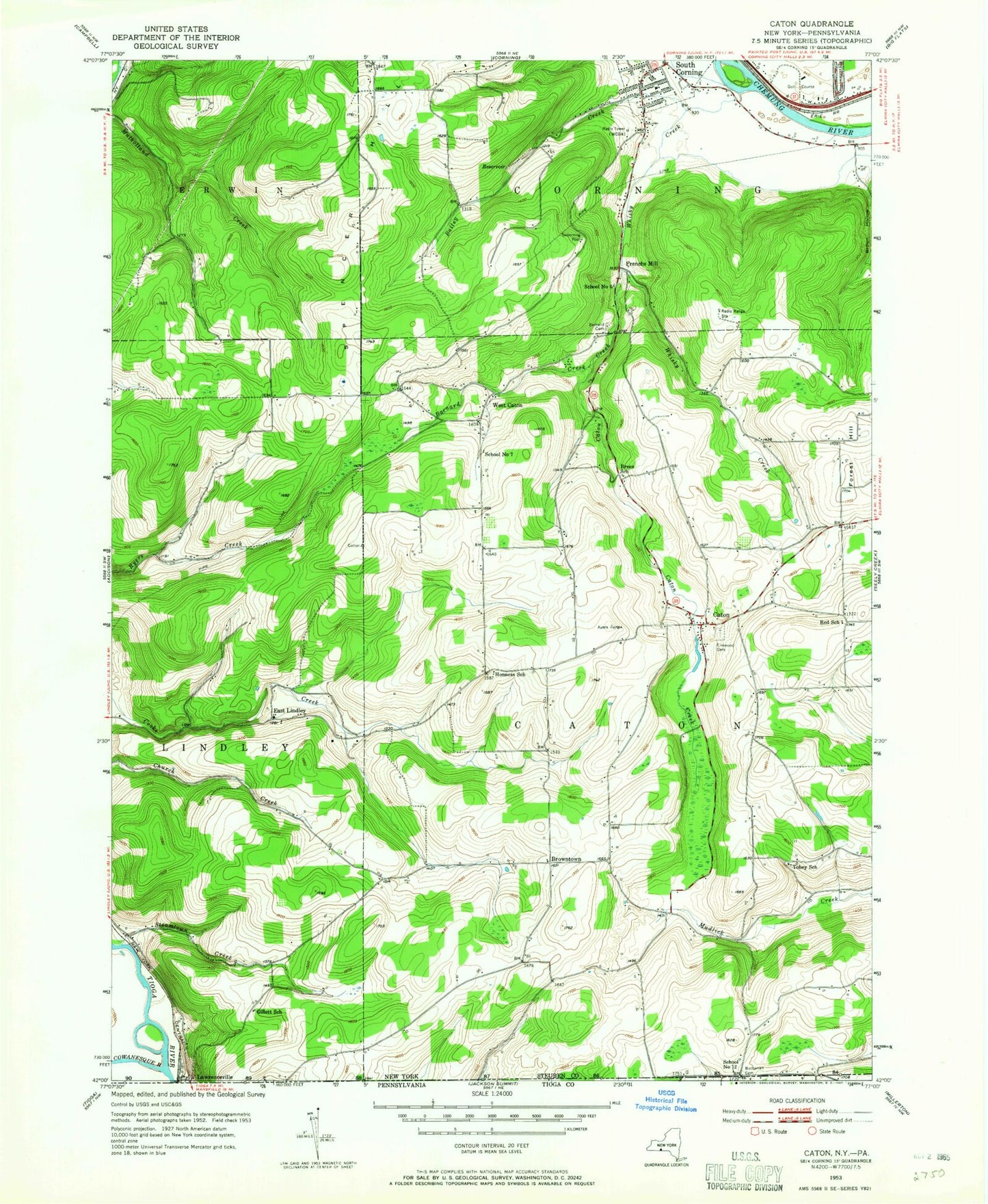
Classic USGS Caton New York 7.5'x7.5' Topo Map
Couldn't load pickup availability
Historical USGS topographic quad map of Caton in the states of New York, Pennsylvania. Map scale may vary for some years, but is generally around 1:24,000. Print size is approximately 24" x 27"
This quadrangle is in the following counties: Steuben, Tioga.
The map contains contour lines, roads, rivers, towns, and lakes. Printed on high-quality waterproof paper with UV fade-resistant inks, and shipped rolled.
Contains the following named places: Administration Building Corning Community College, Arthur A Houghton Junior Library, Ash Grove Community Farm, Bailey Creek, Barnard Creek, Bechtol Cemetery, Brees School, Brown Hollow, Browntown, Canaan's Field, Caton, Caton Bible Chapel, Caton Creek, Caton Swamp, Caton Town Hall, Caton United Methodist Church, Caton Volunteer Fire Department, Christian Life Church, Corning Community College, Corning Country Club, Corning Manor, Cowanesque River, East Lindley, East Lindley Baptist Church, Elmwood Cemetery, Forest Hill, Forest Hill School, Frenchs Mill, Gillett School, Honness School, Martin Hill, Old Port Royal Airport, Pettigrove School, Red School, Seelye Cemetery, South Corning, South Corning Fire Department, South Corning United Methodist Church, Spencer Hill, Steamtown Creek, Tobey School, Town of Caton, WCBA-AM (Corning), WCEB-FM (Corning), West Caton, West Caton Baptist Church, Whisky Creek


