MyTopo
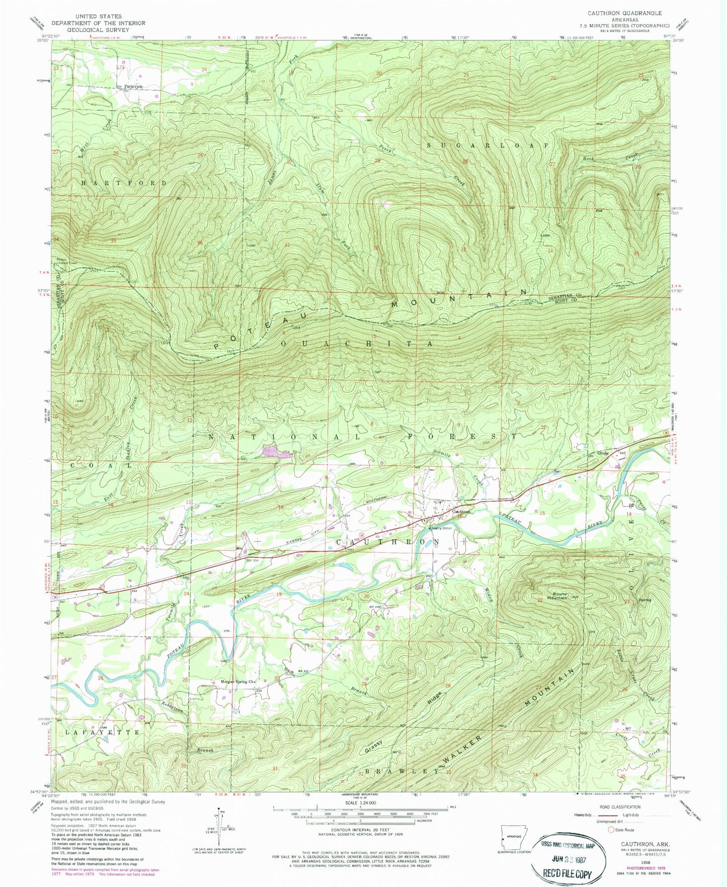
Classic USGS Cauthron Arkansas 7.5'x7.5' Topo Map
Couldn't load pickup availability
Historical USGS topographic quad map of Cauthron in the state of Arkansas. Map scale may vary for some years, but is generally around 1:24,000. Print size is approximately 24" x 27"
This quadrangle is in the following counties: Scott, Sebastian.
The map contains contour lines, roads, rivers, towns, and lakes. Printed on high-quality waterproof paper with UV fade-resistant inks, and shipped rolled.
Contains the following named places: Alum Fork, Cauthron, Cauthron Cemetery, Cauthron Post Office, Cross Creek, Gum Branch, Jerico Branch, Kirk Cemetery, Morgan Spring Church, Morgan Springs, Oliver, Patterson, Posey Creek, Poteau Lookout Tower, Poteau Mountain, Poteau Mountain Wilderness, Poteau River Site Nine Lake, Poteau River Watershed Site Nine Dam, Robertson Branch, Round Mountain, Sixmile Creek, State Line Cauthron Volunteer Fire Department, Township of Cauthron, Twomile Creek, Walker Mountain, Widow Creek