MyTopo
Classic USGS Cavanaugh Creek Washington 7.5'x7.5' Topo Map
Regular price
$16.95
Regular price
Sale price
$16.95
Unit price
per
Couldn't load pickup availability
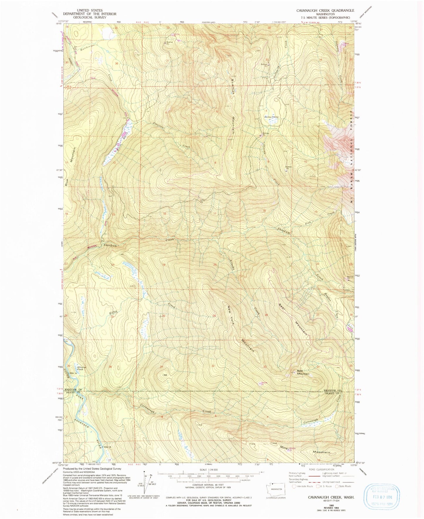
Historical USGS topographic quad map of Cavanaugh Creek in the state of Washington. Map scale may vary for some years, but is generally around 1:24,000. Print size is approximately 24" x 27"
This quadrangle is in the following counties: Skagit, Whatcom.
The map contains contour lines, roads, rivers, towns, and lakes. Printed on high-quality waterproof paper with UV fade-resistant inks, and shipped rolled.
Contains the following named places: Arlecho Creek, Atherns Pond, Bald Mountain, Bear Mountain, Bowman Mountain, Cavanaugh Creek, Dailey Prairie, Dyes Ranch, Fish Creek, Hayden Creek, Miner Mountain, Musto Marsh, New York Mountain, Orsino Creek, Peterson Creek, Swen Larsen Quarry