MyTopo
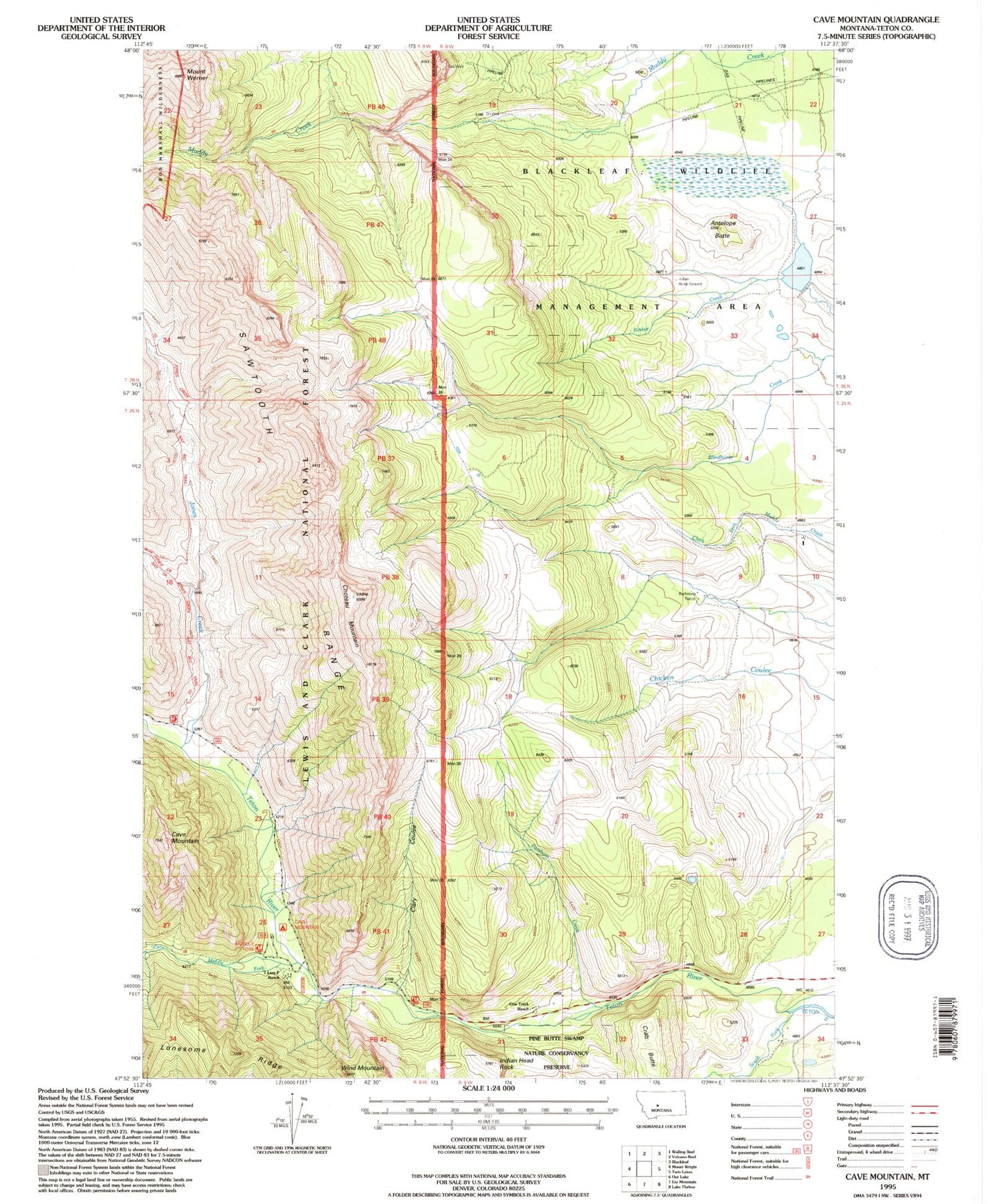
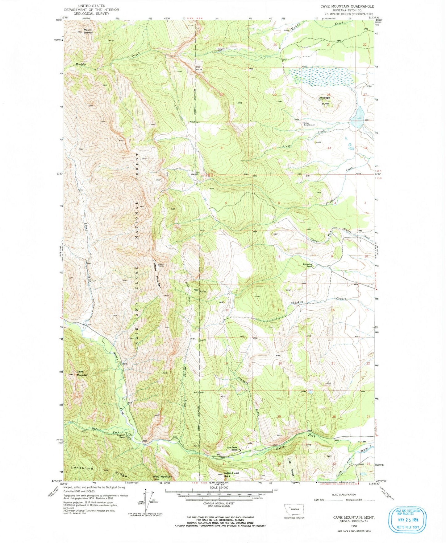
Classic USGS Cave Mountain Montana 7.5'x7.5' Topo Map
Couldn't load pickup availability
Historical USGS topographic quad map of Cave Mountain in the state of Montana. Typical map scale is 1:24,000, but may vary for certain years, if available. Print size: 24" x 27"
This quadrangle is in the following counties: Teton.
The map contains contour lines, roads, rivers, towns, and lakes. Printed on high-quality waterproof paper with UV fade-resistant inks, and shipped rolled.
Contains the following named places: Antelope Butte, Burfening Ranch, Cave Mountain, Choteau Mountain, Clary Coulee, Cow Track Ranch, Indian Burial Ground, Indian Head Rock, Jones Creek, Lazy P Ranch, Middle Fork North Fork Teton River, North Fork Teton River, Pamburn Creek, South Fork Teton River, Mount Werner, Wind Mountain, Blackleaf Wildlife Management Area, Jones Creek National Recreation Trail, Cave Mountain Campground, Middle Fork Trailhead, Bynum Reservoir Dam, Ringy-Dingy Dam, Crab Butte


