MyTopo
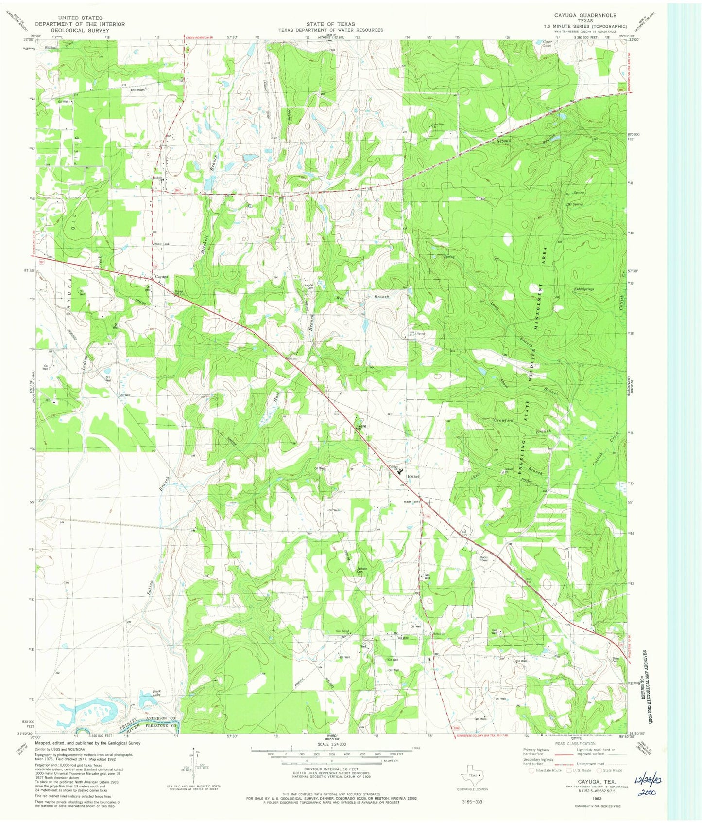
Classic USGS Cayuga Texas 7.5'x7.5' Topo Map
Couldn't load pickup availability
Historical USGS topographic quad map of Cayuga in the state of Texas. Typical map scale is 1:24,000, but may vary for certain years, if available. Print size: 24" x 27"
This quadrangle is in the following counties: Anderson, Freestone.
The map contains contour lines, roads, rivers, towns, and lakes. Printed on high-quality waterproof paper with UV fade-resistant inks, and shipped rolled.
Contains the following named places: Bee Branch, Bethel School Number 2, Cayuga School, Duck Lake, Hall Branch, Jackson Cemetery, Judson Cemetery, Long Branch, New Bethel Church (historical), New Bethel Church, Saline Branch, Shaw Cemetery, Short Branch, Mitchell Branch, Bethel, Cayuga, Lochridge Ranch Airport, Cox Lake Dam, Cox Lake, Judson Church, Lone Pine Church, DD Spring, Kidd Spring, Bethel Church, Crawford Branch, Skeet Branch, Cayuga Division, Cayuga High School, Gus Engeling Wildlife Management Area, Bethel Cayuga Volunteer Fire Department, Cayuga Post Office