MyTopo
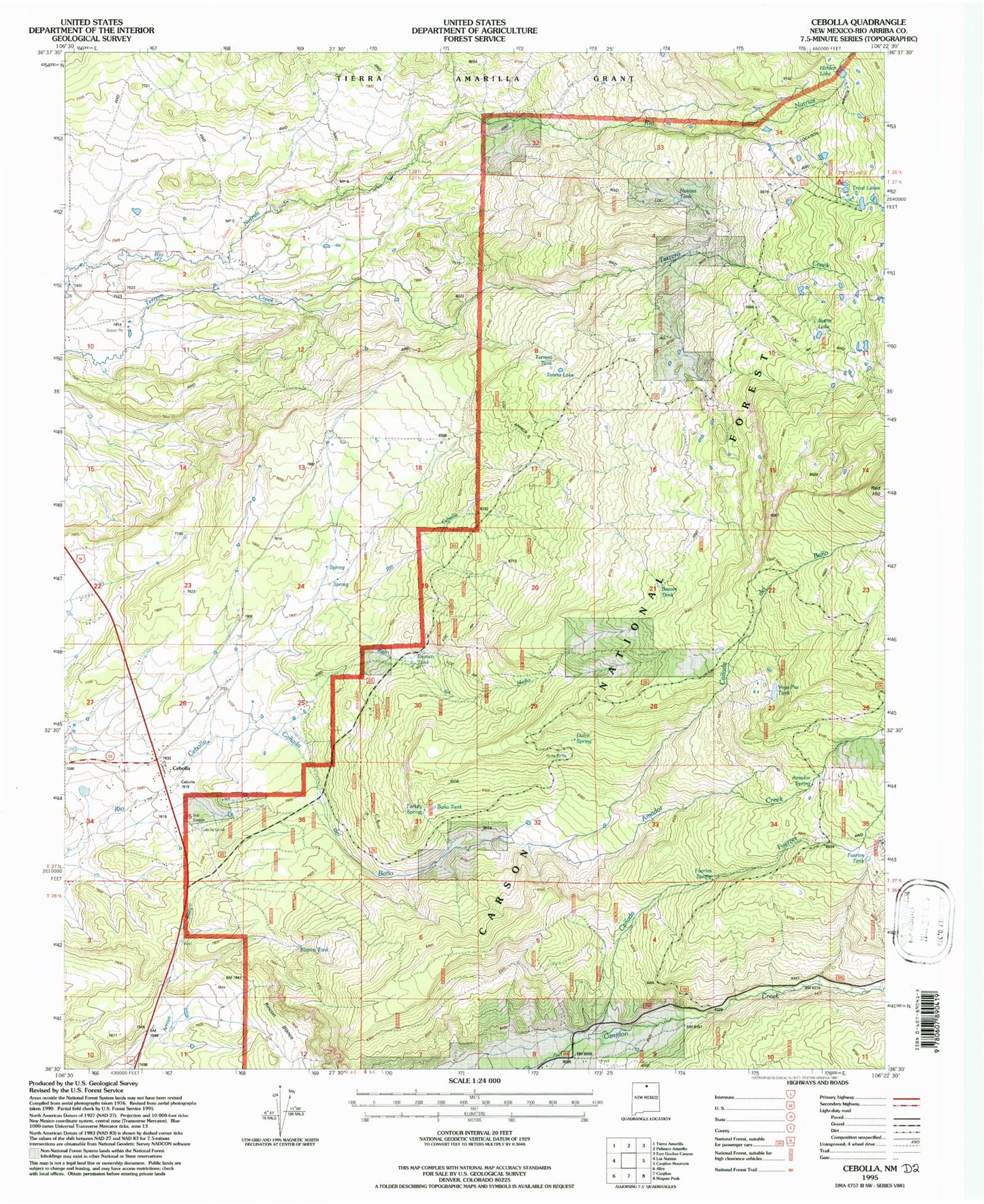
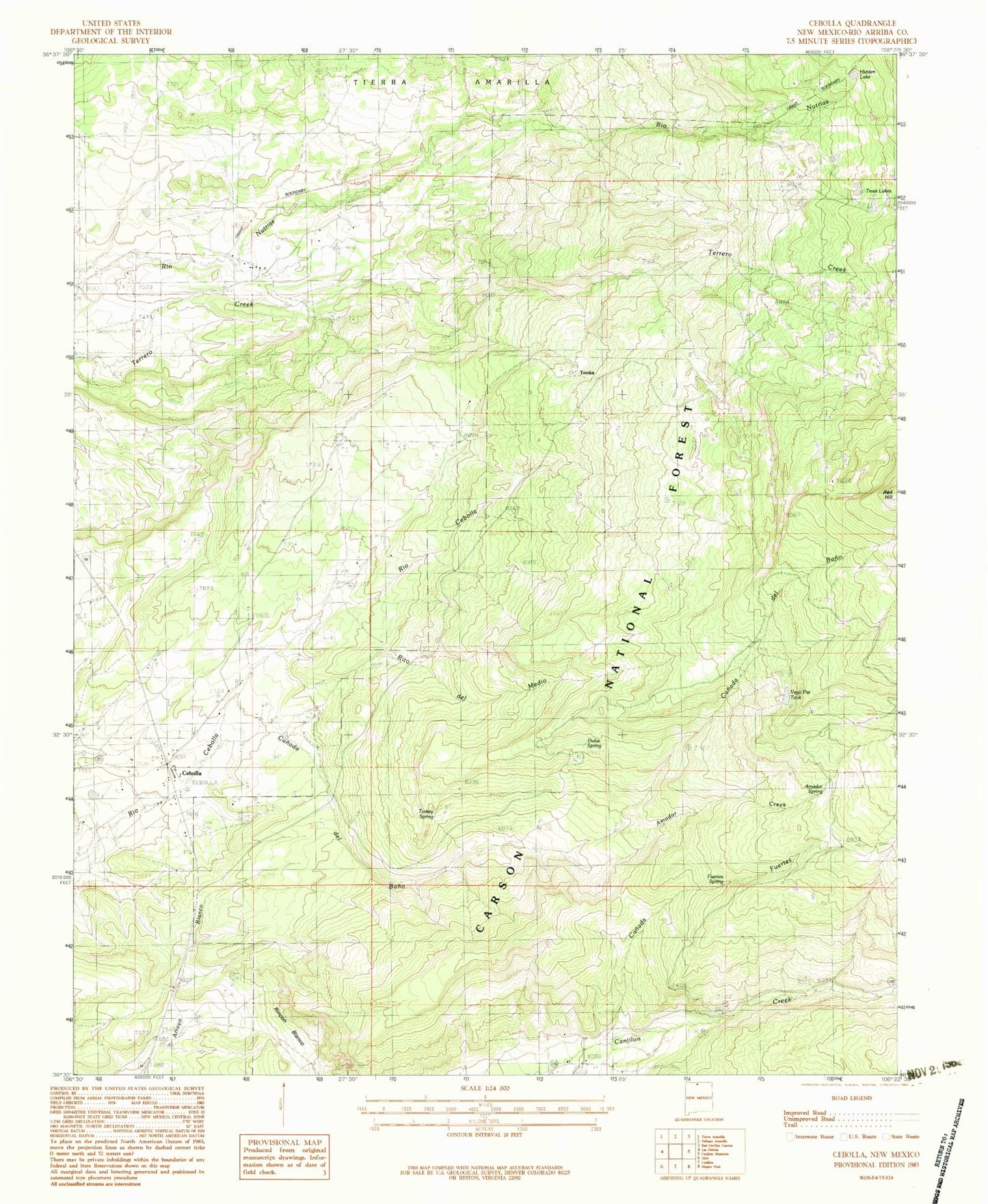
Classic USGS Cebolla New Mexico 7.5'x7.5' Topo Map
Couldn't load pickup availability
Historical USGS topographic quad map of Cebolla in the state of New Mexico. Typical map scale is 1:24,000, but may vary for certain years, if available. Print size: 24" x 27"
This quadrangle is in the following counties: Rio Arriba.
The map contains contour lines, roads, rivers, towns, and lakes. Printed on high-quality waterproof paper with UV fade-resistant inks, and shipped rolled.
Contains the following named places: Amador Creek, Canada de Bano, Canada Fuertes, Hidden Lake, Red Hill, Rito del Medio, San Antonio Church, Trout Lakes, Vega Paz Tank, Fuertes Spring, Burns Lake, Tonita Lake, Terrero Tank, Nutrias Tank, Trout Lakes Campground, Bano Tank, Duke Pit, Fuertes Tank, Beaver Tank, Bronco Tank, Cebolla Corral, Cebolla, Cebolla Post Office, Canjilon - Cebolla Volunteer Fire Department Station 2, Amador Spring, Dulce Spring, Blanco Tank, Rincon Blanco, Turkey Spring