MyTopo
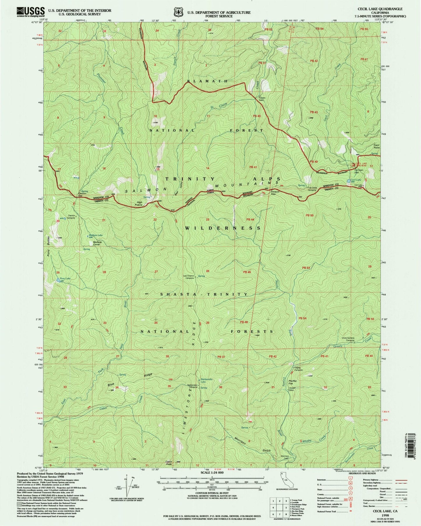
Classic USGS Cecil Lake California 7.5'x7.5' Topo Map
Couldn't load pickup availability
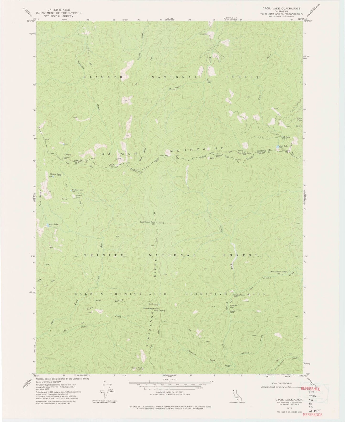
Historical USGS topographic quad map of Cecil Lake in the state of California. Map scale may vary for some years, but is generally around 1:24,000. Print size is approximately 24" x 27"
This quadrangle is in the following counties: Siskiyou, Trinity.
The map contains contour lines, roads, rivers, towns, and lakes. Printed on high-quality waterproof paper with UV fade-resistant inks, and shipped rolled.
Contains the following named places: Bear Valley, Blue Ridge, Cabin Creek, Cabin Peak, Cecil Lake, Cecil Point, Cecil Point Lookout, Chikoot Pass, China Gardens, China Gardens Camp, Election Camp, Election Gap, Five Dollar Camp, Fosters Cabin, Grizzly Creek, High Prairie, Hull Cabin, Jorstad Cabin, Last Chance Camp, Last Chance Spring, Morrison Cabin, Morrison Gulch, Mullane Corral, Mullane Lake, Pegleg Camp, Pony Lake, Rattlesnake Camp, Rattlesnake Lake, Strause Gulch, Whisky Creek