MyTopo
Classic USGS Cecil Arkansas 7.5'x7.5' Topo Map
Couldn't load pickup availability
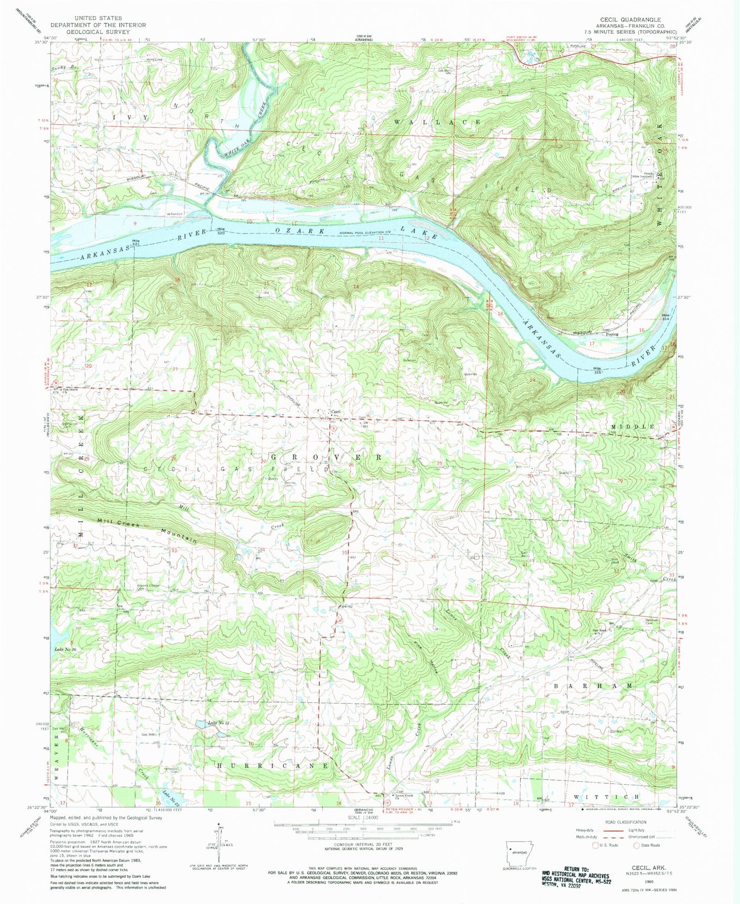
Historical USGS topographic quad map of Cecil in the state of Arkansas. Map scale may vary for some years, but is generally around 1:24,000. Print size is approximately 24" x 27"
This quadrangle is in the following counties: Franklin.
The map contains contour lines, roads, rivers, towns, and lakes. Printed on high-quality waterproof paper with UV fade-resistant inks, and shipped rolled.
Contains the following named places: Bercham Cemetery, Berkley Cemetery, Browns Chapel Cemetery, Cecil, Cecil Gas Field, Cecil Post Office, Cecil Volunteer Fire Department, Citadel Bluff Park, Flanagan Lake, Flanagan Lake Dam, KDYN-FM (Ozark), Lake Number 20, Lake Number Twentyone, Lake Number Twentytwo, Lowes Creek Church, Meg, Mill Creek Mountain, North Cecil Gas Field, Oak Bend Church, Oak Grove Cemetery, Oak Grove Church, Ozark Bible Institute, Patterson Cemetery, Pine Hollow, Poping, Price Springs Cemetery, Sixmile Creek Site 18 Dam, Sixmile Creek Site 18 Reservoir, Sixmile Creek Site 21 Dam, Sixmile Creek Site 22 Dam, Sub Rosa, Township of Barham, Township of Grover, Township of Wallace, White Oak Creek, White Oak Park, ZIP Code: 72930