MyTopo
Classic USGS Cedar Grove Georgia 7.5'x7.5' Topo Map
Couldn't load pickup availability
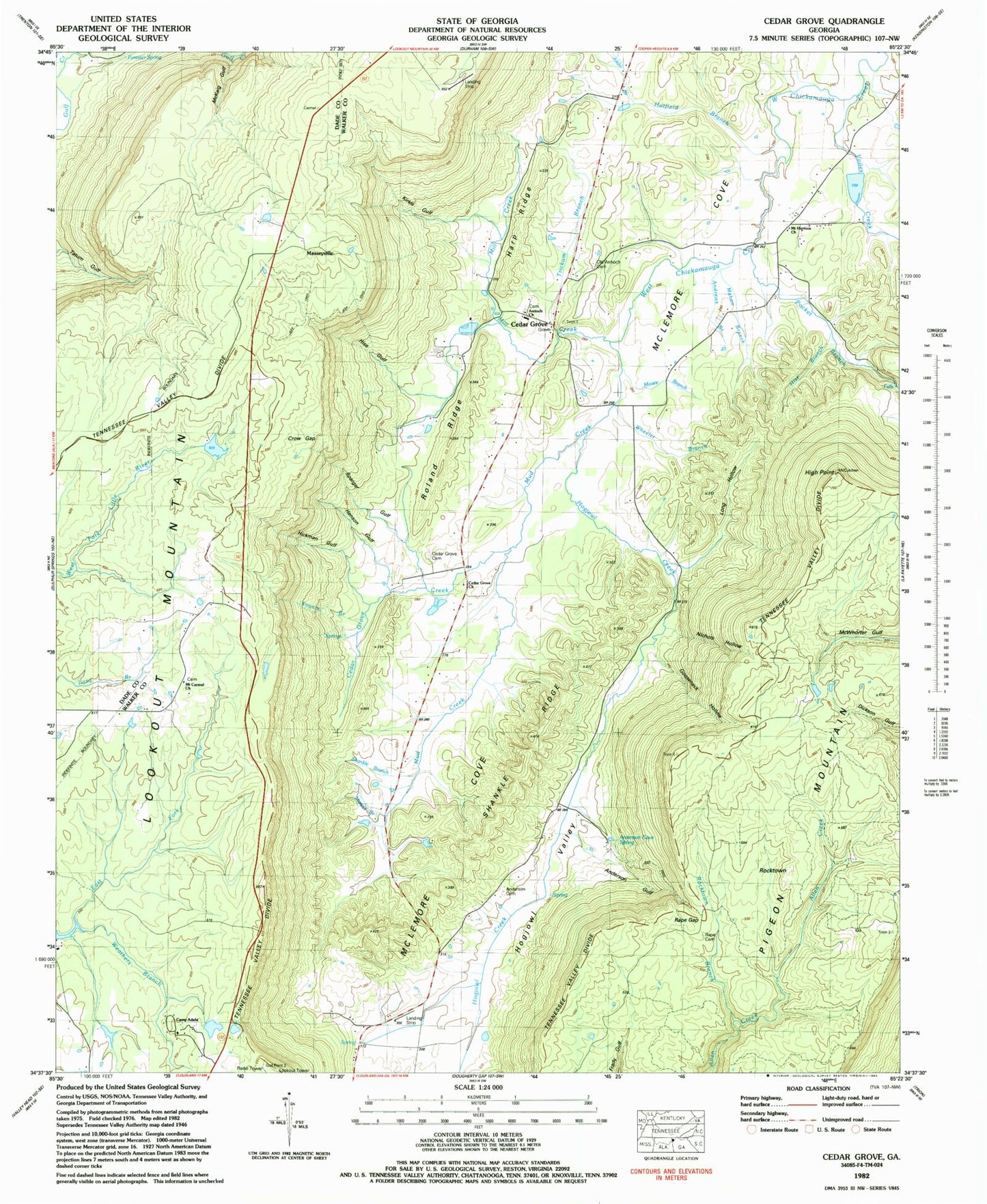
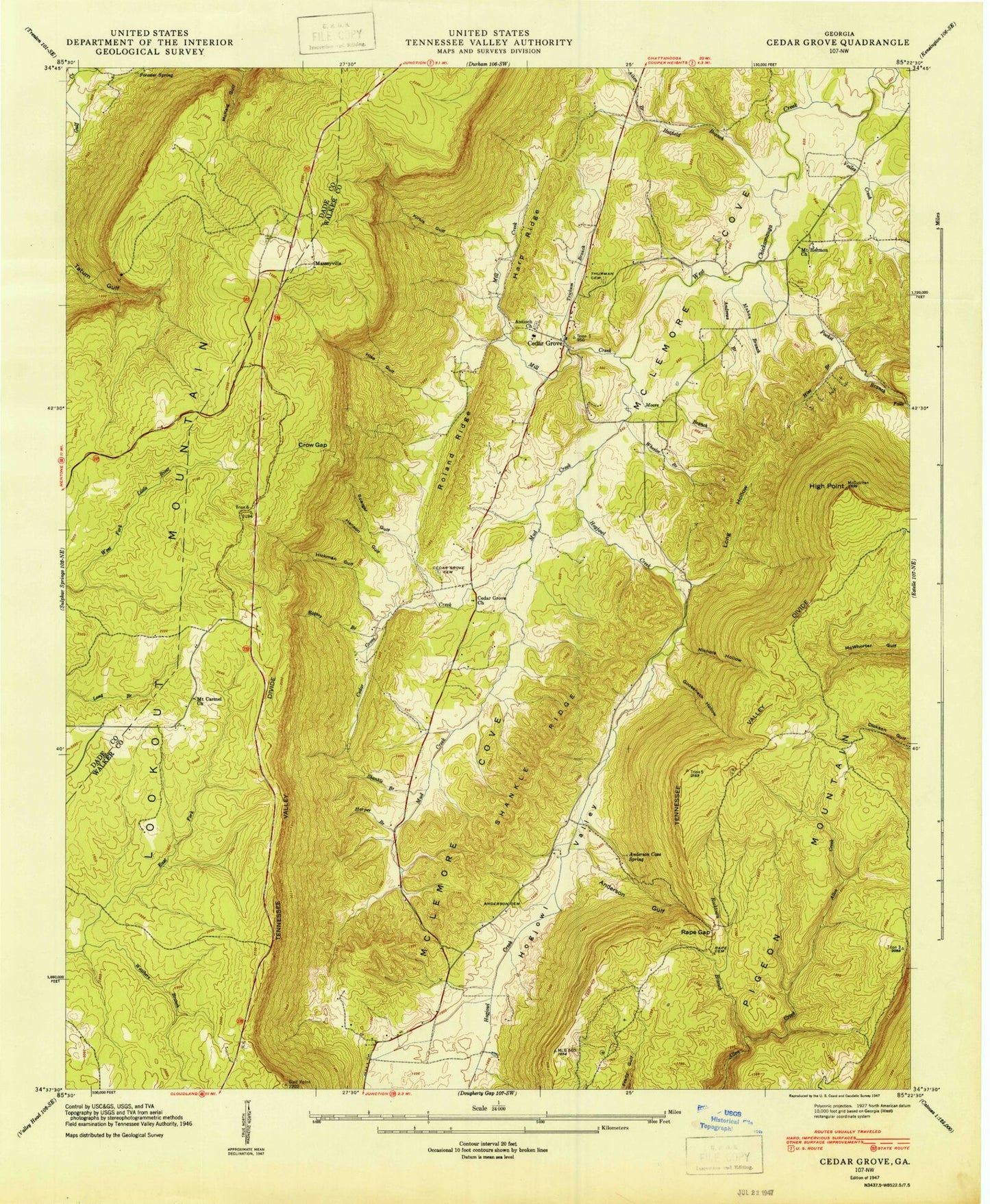
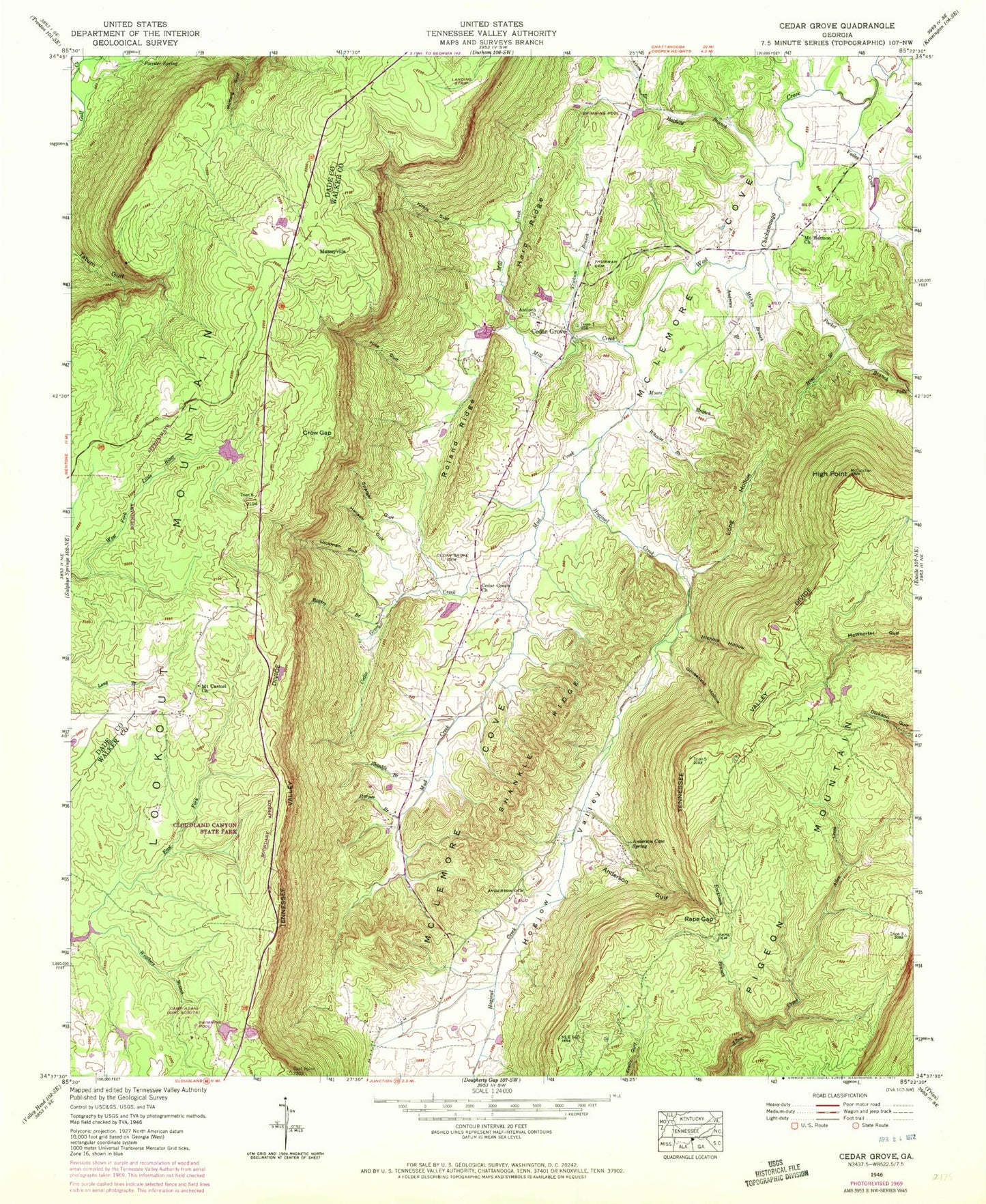
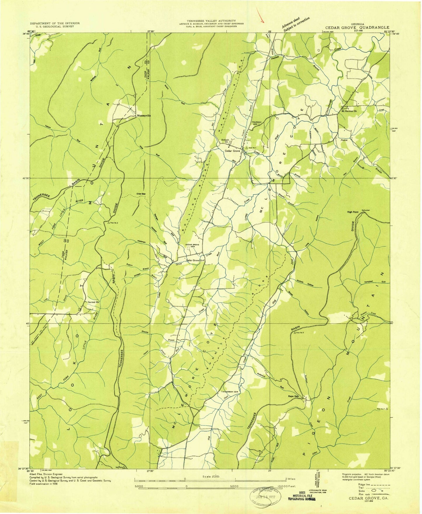
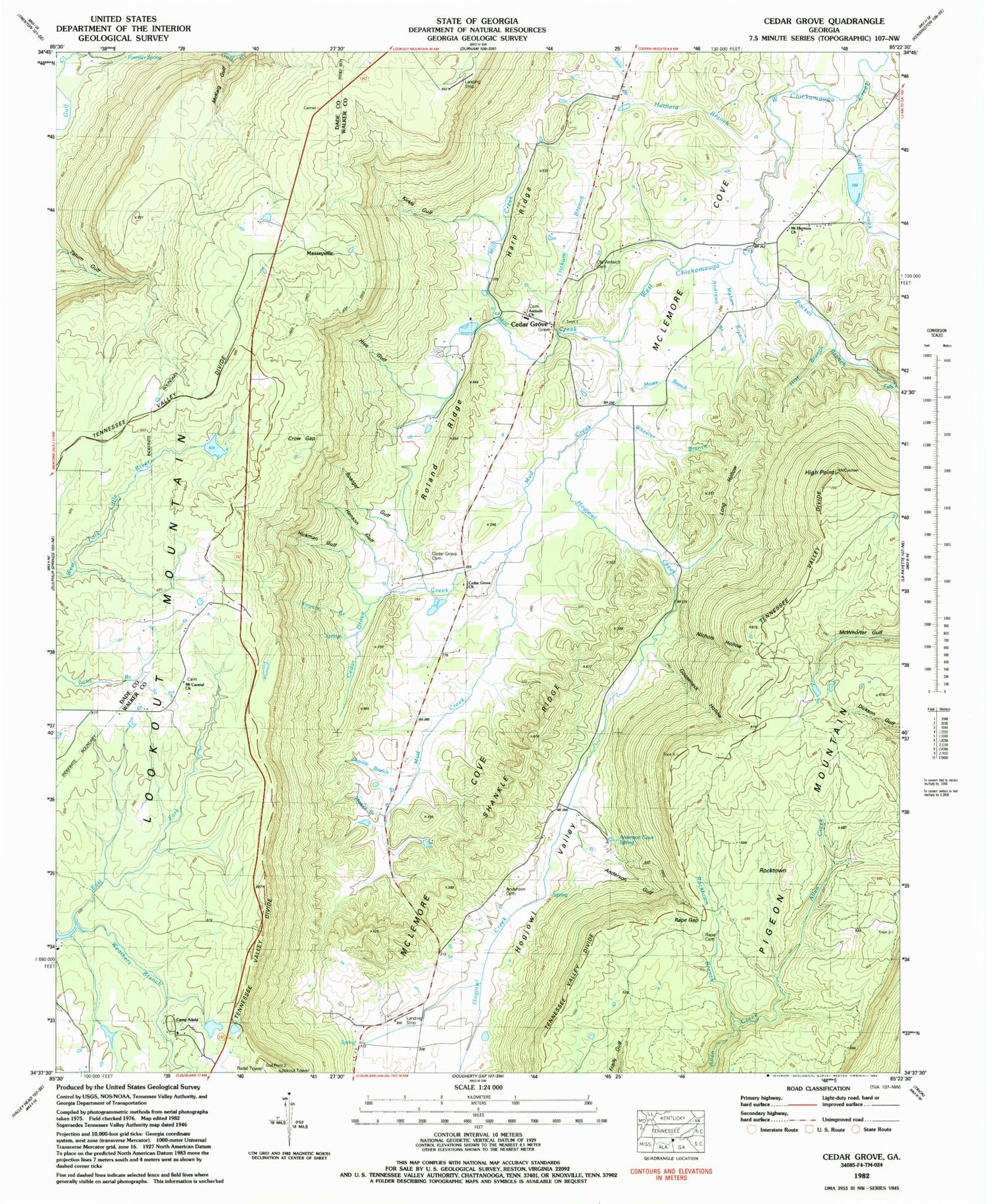
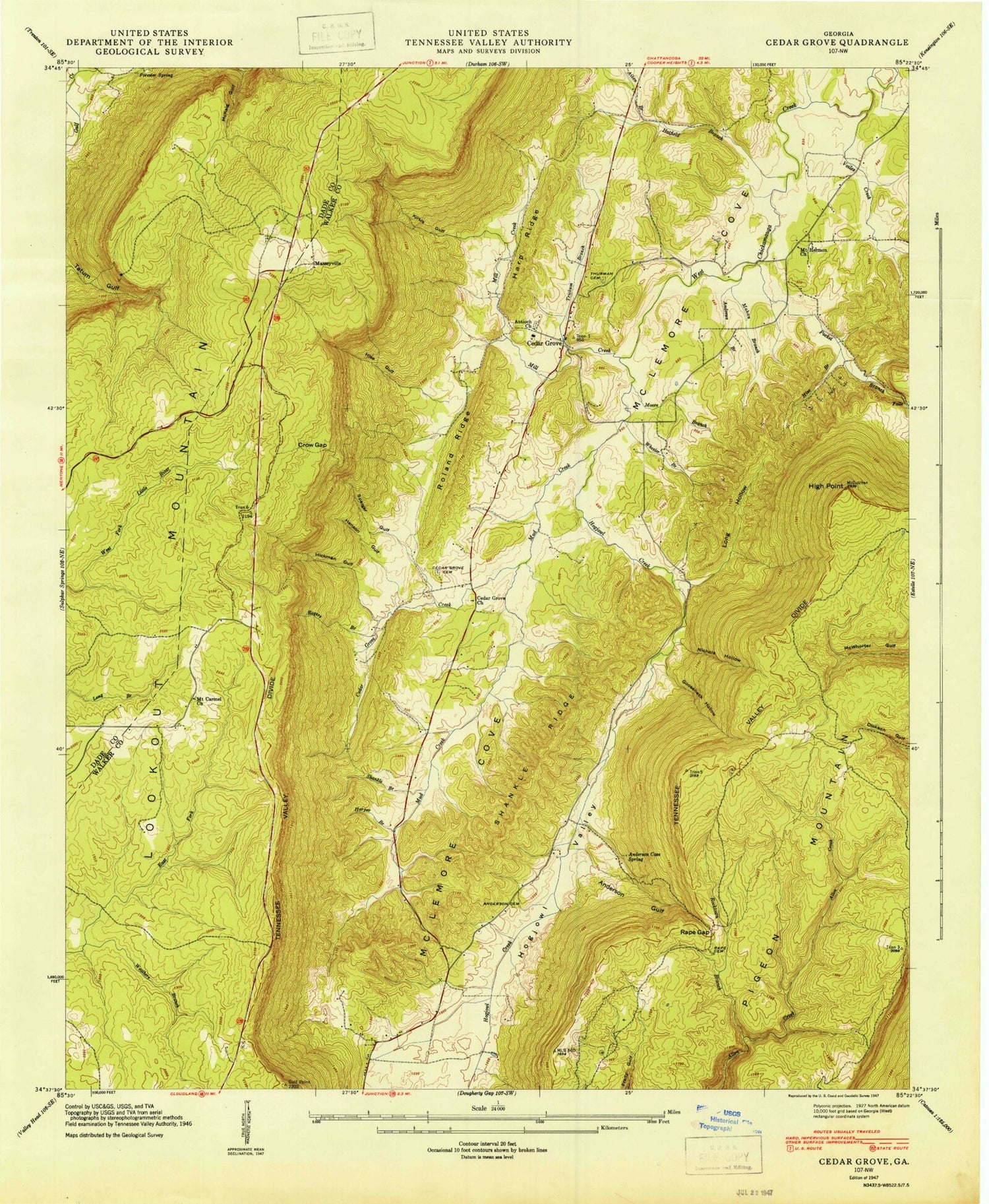
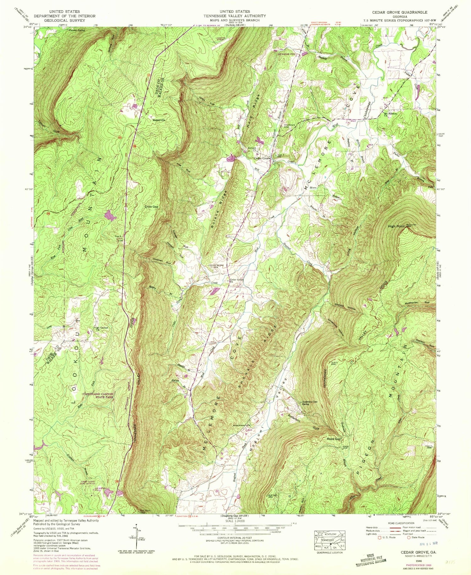
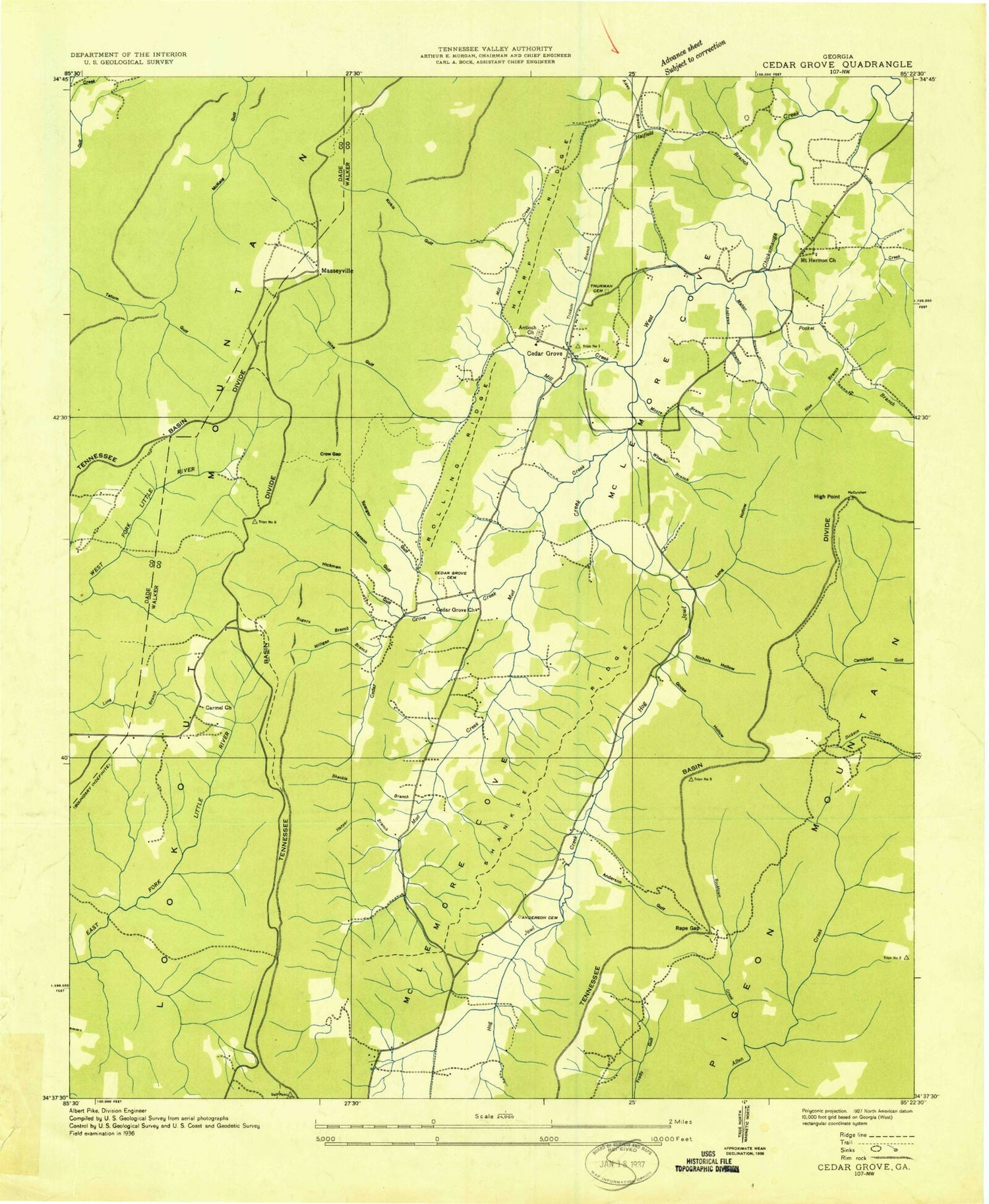
Historical USGS topographic quad map of Cedar Grove in the state of Georgia. Typical map scale is 1:24,000, but may vary for certain years, if available. Print size: 24" x 27"
This quadrangle is in the following counties: Dade, Walker.
The map contains contour lines, roads, rivers, towns, and lakes. Printed on high-quality waterproof paper with UV fade-resistant inks, and shipped rolled.
Contains the following named places: Aiken Branch, Anderson Cemetery, Anderson Gulf, Andrews Branch, Camp Adahi, Cedar Grove Cemetery, Cloudland Canyon State Park, Forester Spring, Harp Ridge, Harper Branch, Hatfield Branch, Henson Gulf, Hickman Gulf, High Point, Hise Branch, Hise Gulf, Hogjowl Creek, Hogjowl Valley, Kirkis Gulf, Long Hollow, Mahan Branch, McKaig Gulf, McLemore Cove, Mill Creek, Moore Branch, Mount Carmel Church, Mount Hermon Church, Mud Creek, Nichols Hollow, Pocket Branch, Rape Cemetery, Rape Gap, Rocktown Branch, Rogers Branch, Roland Ridge, Shankle Branch, Shankle Ridge, Sparger Gulf, Old Antioch Cemetery, Trickum Branch, Voiles Creek, Weathers Branch, Wheeler Branch, Masseyville, Pigeon Mountain, Camp Adahi Lake Dam, Camp Adahi Lake, Scott Lake, Tennessee Valley Divide, Mount Cove Airport (historical), Antioch Cemetery, Cedar Grove Camp Ground (historical), Cedar Grove School, Mahan (historical), McCutchen (historical), Milligan Branch, Mount Carmel Cemetery, Mountain Cove Farms, Mountain View Farms, Saint Marys Institute (historical), Anderson Cave Spring, Antioch Church, Cedar Grove, Cedar Grove Church, Crow Gap, Gooseneck Hollow, Kensington Division, Lookout Mountain Division, Walker County Emergency Services Fire Station 12, Webb Creek, Aiken Branch, Anderson Cemetery, Anderson Gulf, Andrews Branch, Camp Adahi, Cedar Grove Cemetery, Cloudland Canyon State Park, Forester Spring, Harp Ridge, Harper Branch, Hatfield Branch, Henson Gulf, Hickman Gulf, High Point, Hise Branch, Hise Gulf, Hogjowl Creek, Hogjowl Valley, Kirkis Gulf, Long Hollow, Mahan Branch, McKaig Gulf, McLemore Cove, Mill Creek, Moore Branch, Mount Carmel Church, Mount Hermon Church, Mud Creek, Nichols Hollow, Pocket Branch, Rape Cemetery, Rape Gap, Rocktown Branch, Rogers Branch, Roland Ridge, Shankle Branch, Shankle Ridge, Sparger Gulf, Old Antioch Cemetery, Trickum Branch, Voiles Creek, Weathers Branch, Wheeler Branch, Masseyville, Pigeon Mountain, Camp Adahi Lake Dam, Camp Adahi Lake, Scott Lake, Tennessee Valley Divide, Mount Cove Airport (historical), Antioch Cemetery, Cedar Grove Camp Ground (historical), Cedar Grove School, Mahan (historical), McCutchen (historical), Milligan Branch, Mount Carmel Cemetery, Mountain Cove Farms, Mountain View Farms, Saint Marys Institute (historical), Anderson Cave Spring, Antioch Church, Cedar Grove, Cedar Grove Church, Crow Gap, Gooseneck Hollow, Kensington Division, Lookout Mountain Division, Walker County Emergency Services Fire Station 12, Webb Creek, Aiken Branch, Anderson Cemetery, Anderson Gulf, Andrews Branch, Camp Adahi, Cedar Grove Cemetery, Cloudland Canyon State Park, Forester Spring, Harp Ridge, Harper Branch, Hatfield Branch, Henson Gulf, Hickman Gulf, High Point, Hise Branch, Hise Gulf, Hogjowl Creek, Hogjowl Valley, Kirkis Gulf, Long Hollow, Mahan Branch, McKaig Gulf, McLemore Cove, Mill Creek, Moore Branch, Mount Carmel Church, Mount Hermon Church, Mud Creek, Nichols Hollow, Pocket Branch, Rape Cemetery, Rape Gap, Rocktown Branch, Rogers Branch, Roland Ridge, Shankle Branch, Shankle Ridge, Sparger Gulf, Old Antioch Cemetery, Trickum Branch, Voiles Creek, Weathers Branch, Wheeler Branch, Masseyville, Pigeon Mountain, Camp Adahi Lake Dam, Camp Adahi Lake, Scott Lake, Tennessee Valley Divide, Mount Cove Airport (historical), Antioch Cemetery, Cedar Grove Camp Ground (historical), Cedar Grove School, Mahan (historical), McCutchen (historical), Milligan Branch, Mount Carmel Cemetery, Mountain Cove Farms, Mountain View Farms, Saint Marys Institute (historical), Anderson Cave Spring, Antioch Church, Cedar Grove, Cedar Grove Church, Crow Gap, Gooseneck Hollow, Kensington Division, Lookout Mountain Division, Walker County Emergency Services Fire Station 12, Webb Creek
