MyTopo
Classic USGS Cedar Hill Missouri 7.5'x7.5' Topo Map
Couldn't load pickup availability
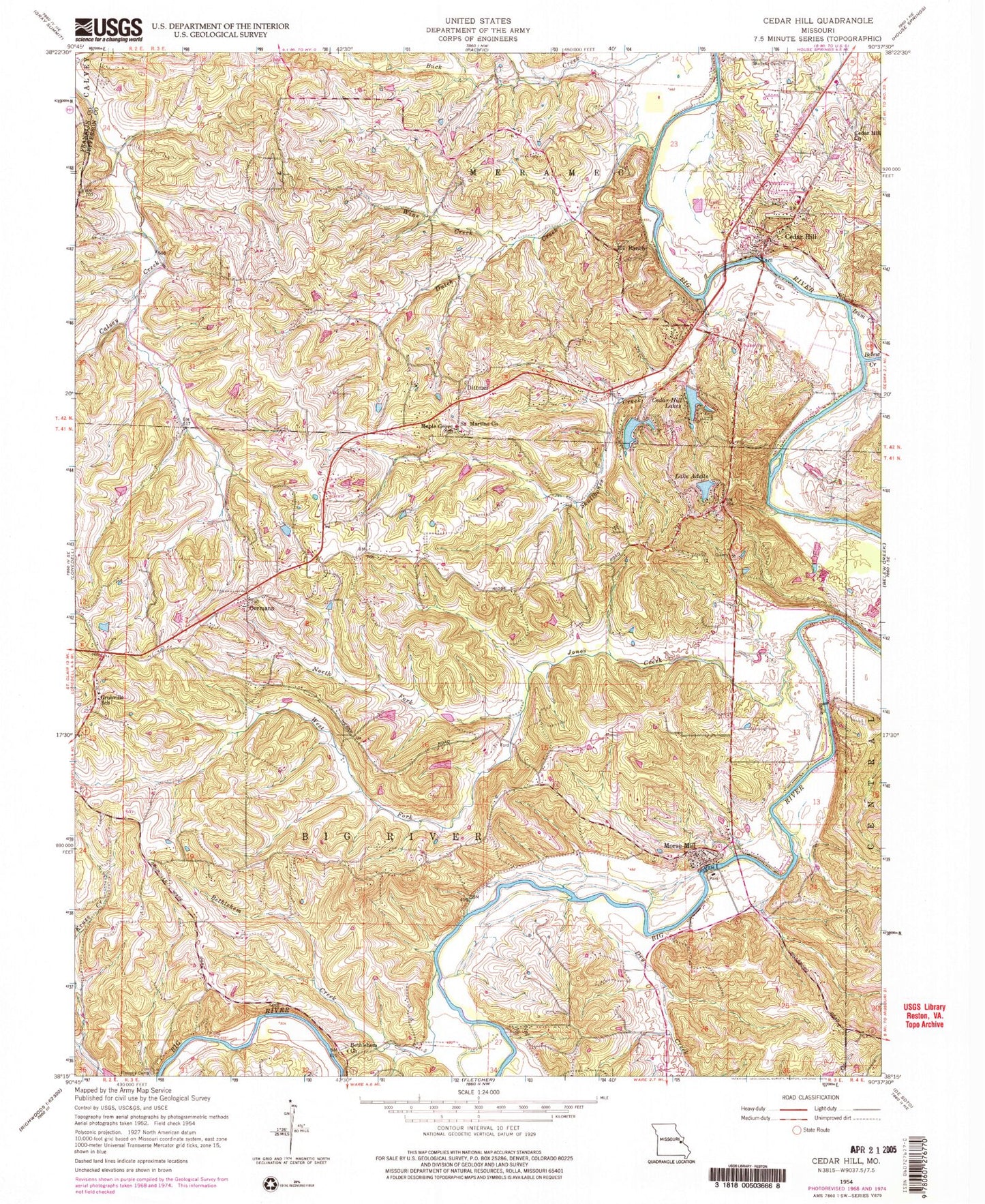
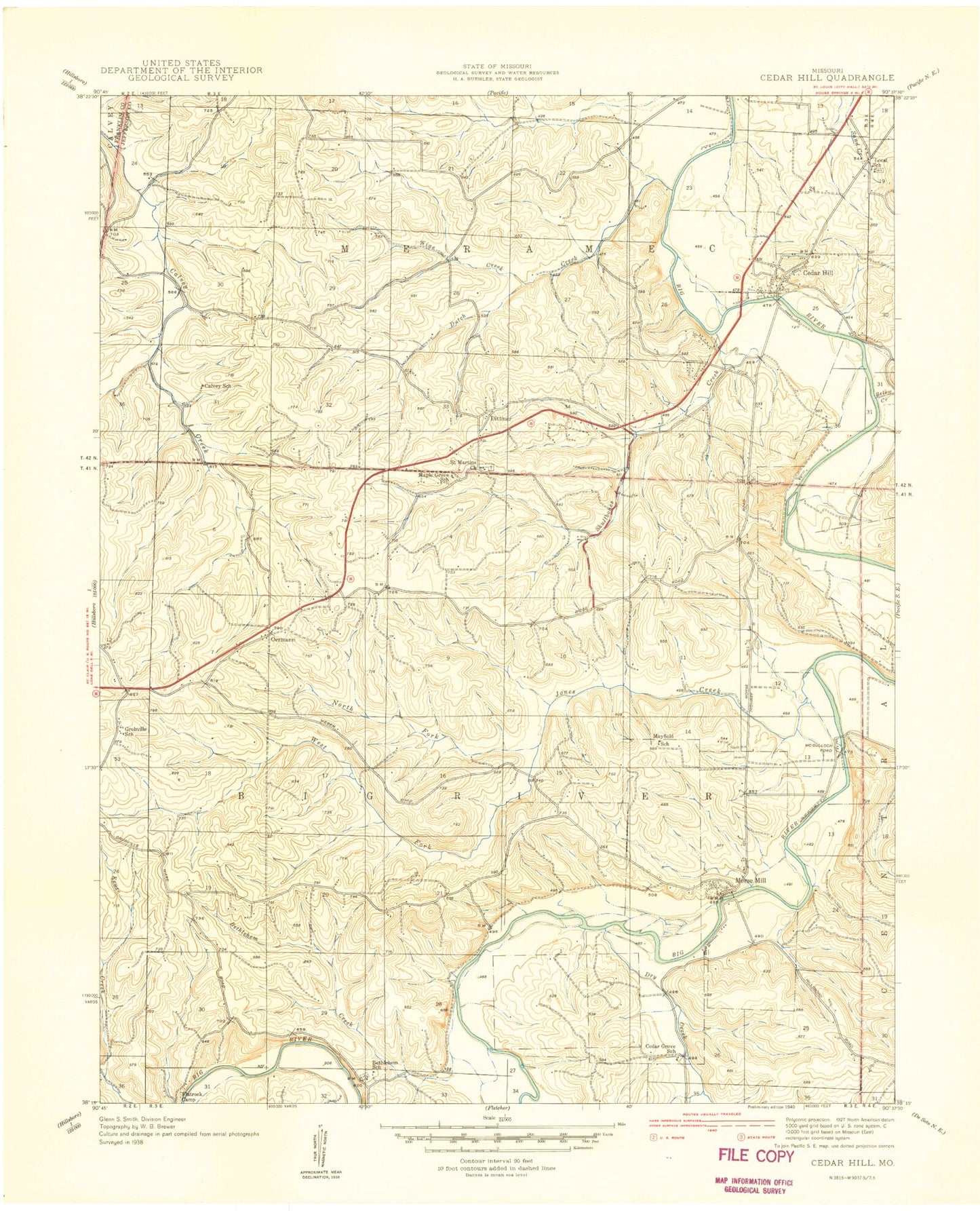
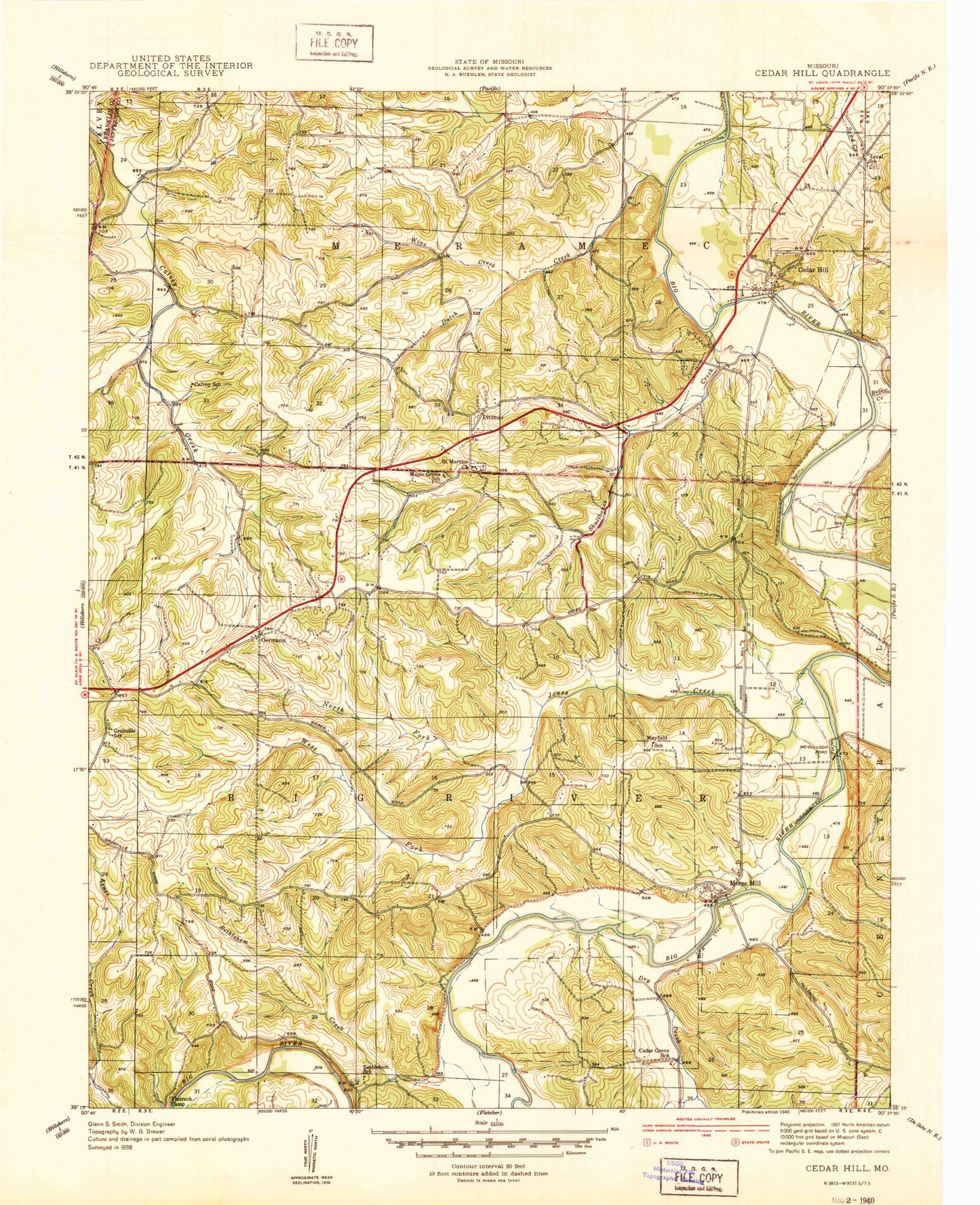
Historical USGS topographic quad map of Cedar Hill in the state of Missouri. Typical map scale is 1:24,000, but may vary for certain years, if available. Print size: 24" x 27"
This quadrangle is in the following counties: Franklin, Jefferson.
The map contains contour lines, roads, rivers, towns, and lakes. Printed on high-quality waterproof paper with UV fade-resistant inks, and shipped rolled.
Contains the following named places: Belews Creek, Bethlehem Church, Bethlehem Creek, Cedar Hill Lakes, Dittmer, Dry Creek, Dutch Creek, Flatrock Camp, Grubville School, Isum Creek, Jones Creek, Maple Grove School, North Fork Jones Creek, One Hundred and One Ranch, Skullens Cemetery, West Fork Jones Creek, Wine Creek, Cedar Hill Church, Morse Mill, Oermann, Saint Martins Church, Skullbones Creek, Cedar Hill, Calvey School (historical), Black Hawke School (historical), Bethlehem School (historical), Local School (historical), Mayfield School (historical), Cedar Grove School (historical), Lake Adelle, Cedar Hill Lake Number 2 Dam, Cedar Hill Lake Number 2, Cedar Hill Lake Number 1 Dam, Cedar Hill Lake Number 1, Lake Adelle Dam, Sun Fish Lake Dam, Kirchners Lake, Ryan Lake Dam, Hidden Valley Lake Dam, Hidden Valley Lake, Lake Maryann Dam, Lakes Famar Lower Dam, Lakes Famar, Lakes Famar Upper Dam, Turn-Bo Dam, Turn-Bo Lake, Cedar Hill Lake Number 3 Dam, Cedar Hill Lake Number 3, Cedar Ridge Number 2 Dam, Number 884 Dam, Stewart Lake Dam, Number 883 Dam, Des Peres Quarry Lake Dam, Cedar Hill Lakes, Cedar Hill Census Designated Place, Village of Cedar Hill Lakes, Cedar Hill Manor, Cedar Hill Fire Protection District Station 2, Cedar Hill Fire Protection District Station 1, Morse Mill Post Office, Dittmer Post Office, Grubville Post Office, Cedar Hill Post Office, Belews Creek, Bethlehem Church, Bethlehem Creek, Cedar Hill Lakes, Dittmer, Dry Creek, Dutch Creek, Flatrock Camp, Grubville School, Isum Creek, Jones Creek, Maple Grove School, North Fork Jones Creek, One Hundred and One Ranch, Skullens Cemetery, West Fork Jones Creek, Wine Creek, Cedar Hill Church, Morse Mill, Oermann, Saint Martins Church, Skullbones Creek, Cedar Hill, Calvey School (historical), Black Hawke School (historical), Bethlehem School (historical), Local School (historical), Mayfield School (historical), Cedar Grove School (historical), Lake Adelle, Cedar Hill Lake Number 2 Dam, Cedar Hill Lake Number 2, Cedar Hill Lake Number 1 Dam, Cedar Hill Lake Number 1, Lake Adelle Dam, Sun Fish Lake Dam, Kirchners Lake, Ryan Lake Dam, Hidden Valley Lake Dam, Hidden Valley Lake, Lake Maryann Dam, Lakes Famar Lower Dam, Lakes Famar, Lakes Famar Upper Dam, Turn-Bo Dam, Turn-Bo Lake, Cedar Hill Lake Number 3 Dam, Cedar Hill Lake Number 3, Cedar Ridge Number 2 Dam, Number 884 Dam, Stewart Lake Dam, Number 883 Dam, Des Peres Quarry Lake Dam, Cedar Hill Lakes, Cedar Hill Census Designated Place, Village of Cedar Hill Lakes, Cedar Hill Manor, Cedar Hill Fire Protection District Station 2, Cedar Hill Fire Protection District Station 1, Morse Mill Post Office, Dittmer Post Office, Grubville Post Office, Cedar Hill Post Office


