MyTopo
Classic USGS Cedar Hill Texas 7.5'x7.5' Topo Map
Couldn't load pickup availability
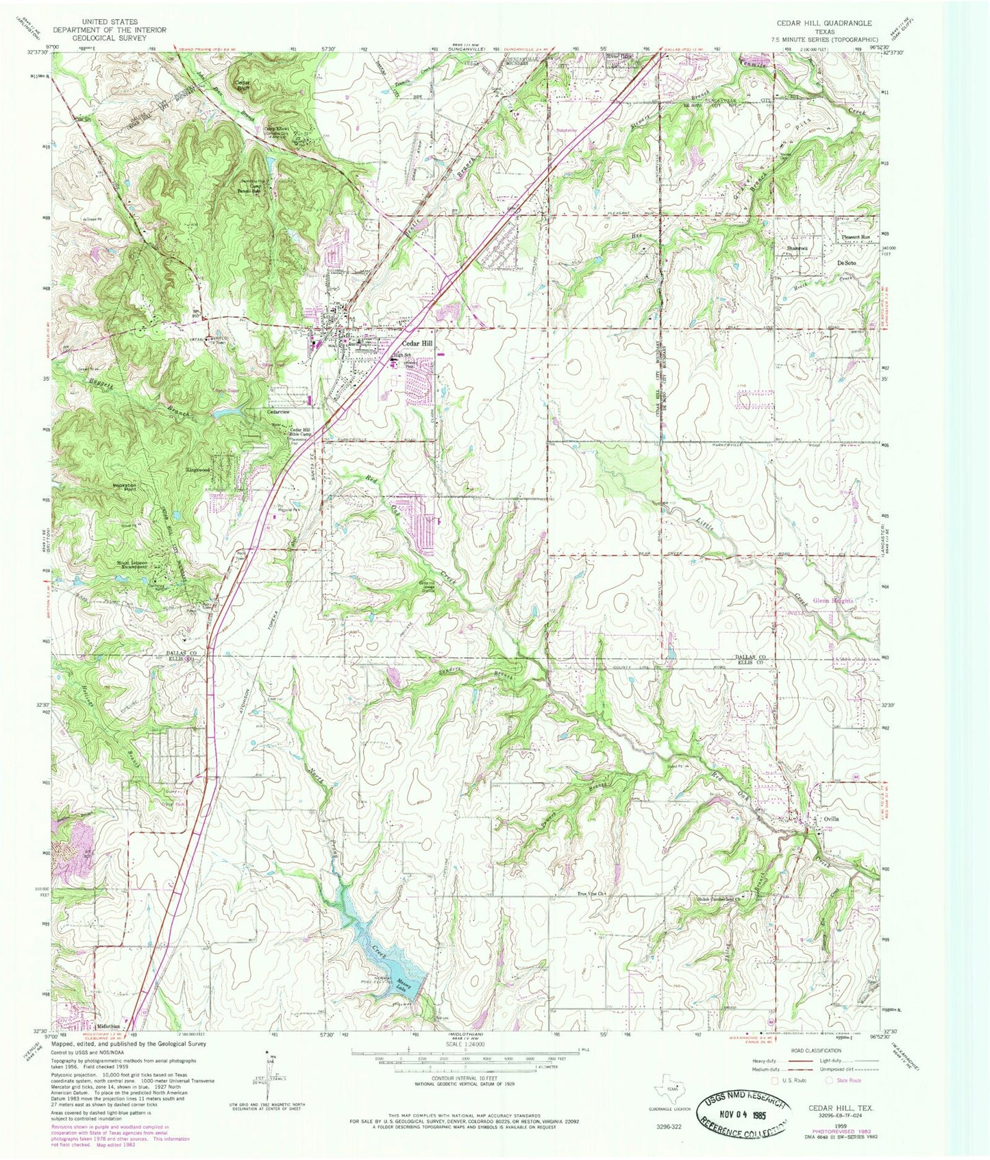
Historical USGS topographic quad map of Cedar Hill in the state of Texas. Typical map scale is 1:24,000, but may vary for certain years, if available. Print size: 24" x 27"
This quadrangle is in the following counties: Dallas, Ellis.
The map contains contour lines, roads, rivers, towns, and lakes. Printed on high-quality waterproof paper with UV fade-resistant inks, and shipped rolled.
Contains the following named places: Bee Branch, Camp Ellowi, Camp Tammi Babi, Cedar Bluff, Cedar Hill, Cedar Hill Bible Camp, Inspiration Point, Kingswood, Massey Lake, Mauk Branch, Mount Lebanon Encampment, Ovilla, Pet Memorial Park, Pleasant Run, Powers Branch, Rhodes Cemetery, Sanders Branch, Shamrock, Shiloh Branch, Shiloh Cemetery, Shiloh Cumberland Church, Slippery Creek, Stewart Branch, True Vine Church, Cedarview, Cedar Hill Sewage Disposal, Mustang Field (historical), Eagle's Nest Estates Airport, Flying B Ranch Airport (historical), KHYI-FM (Arlington), KVTT-FM (Dallas), KKDA-FM (Dallas), KCBI-FM (Dallas), WRR-FM (Dallas), KZPS-FM (Dallas), KLUV-FM (Dallas), KLRX-FM (Dallas), KNON-FM (Dallas), KMGC-FM (Dallas), KERA-FM (Dallas), KLRX-FM (Dallas), KJMZ-FM (Dallas), KRSR-FM (Dallas), KOAI-FM (Denton), KMEZ-FM (Fort Worth), KSCS-FM (Fort Worth), KSCS-FM (Fort Worth), KPLX-FM (Fort Worth), KLTY-FM (Fort Worth), KTXQ-FM (Fort Worth-Dallas), KEGL-FM (Fort Worth-Dallas), KVIL-FM (Highland Park-Dallas), WFAA-TV (Dallas), KERA-TV (Dallas), KDFW-TV (Dallas), KDTX-TV (Dallas), KDFI-TV (Dallas), KDAF-TV (Dallas), KXTX-TV (Dallas), KDTN-TV (Denton), KTXA-TV (Fort Worth), KXAS-TV (Fort Worth), KTVT-TV (Fort Worth), KHSX-TV (Irving), Soil Conservation Service Site 2b Dam, Soil Conservation Service Site 2b Reservoir, Soil Conservation Service Site 1 Dam, Soil Conservation Service Site 1 Reservoir, W S Permenter Middle School, West Intermediate School, Plummer Elementary School, Hi Pointe Elementary School, Cockrell Hill Elementary School, Brandenburg Intermediate School, Bray Elementary School, Cedar Hill High School, Belt Line Intermediate School, Alexander Elementary School, Lake Ridge Baptist Church, Graceland Community Baptist Church, Colonial Hills Baptist Church, Cedar Hill Church of the Nazarene, Dallas First Church of the Nazarene, Southwest Church of God, Whispering Hills Church of Christ, Southwest Baptist Church, Hughes Cedar Hill Chapel Church, Lakeview Community Church, De Soto Seventh Day Adventist Church, Methodist Church First United of Cedar Hill, Ovilla Church of Christ, Shiloh Cumberland Presbyterian Church, Tiger Stadium, Knight Field, Longhorn Stadium, Elerson Park, Community Center Park, Crawford Park, Cedar Hill State Park, Parkerville Park, Doctor Rufus A Roberts House, D M Angle House, Z T 'Tip' Hawkes House, William Bryant Junior House, Straus House, Cedar Hill State Park Trail, City of Cedar Hill, City of Ovilla, Cedar Hill Fire Department Station 211, Cedar Hill Fire Department Station 213, Cedar Hill Fire Department Station 212, Ovilla Fire Department, Desoto Fire Rescue Station 263, Cedar Hill Independent School District Police Department, Visions Emergency Medical Ambulance Services, Cedar Hill Post Office, Ovilla Police Department, Cedar Hill Police Department, Cedar Hill Government Center, Ovilla City Hall


