MyTopo
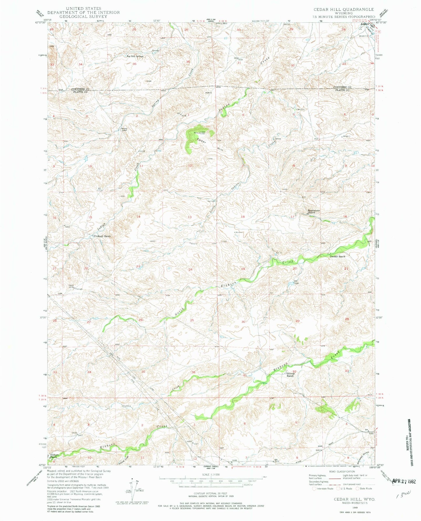
Classic USGS Cedar Hill Wyoming 7.5'x7.5' Topo Map
Couldn't load pickup availability
Historical USGS topographic quad map of Cedar Hill in the state of Wyoming. Map scale may vary for some years, but is generally around 1:24,000. Print size is approximately 24" x 27"
This quadrangle is in the following counties: Converse, Platte.
The map contains contour lines, roads, rivers, towns, and lakes. Printed on high-quality waterproof paper with UV fade-resistant inks, and shipped rolled.
Contains the following named places: Black Canyon Creek, Bog Hole Springs, Cedar Hill, Cedar Ridge Number 1 Dam, Cedar Ridge Number 1 Reservoir, Coffee Creek, Cundall Ranch, Elkhorn Ranch, Fitzhugh Ranch, Little Indian Creek, Moran Dam, Moran Reservoir, Pollard Creek, Spring Creek Number 1 Dam, Spring Creek Number 1 Reservoir, Stephenson Ranch, Stirrup Ranch