MyTopo
Classic USGS Cedar Lake Minnesota 7.5'x7.5' Topo Map
Regular price
$16.95
Regular price
Sale price
$16.95
Unit price
per
Couldn't load pickup availability
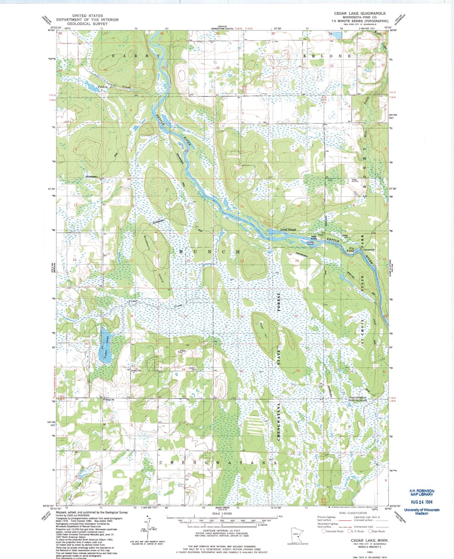
Historical USGS topographic quad map of Cedar Lake in the state of Minnesota. Typical map scale is 1:24,000, but may vary for certain years, if available. Print size: 24" x 27"
This quadrangle is in the following counties: Pine.
The map contains contour lines, roads, rivers, towns, and lakes. Printed on high-quality waterproof paper with UV fade-resistant inks, and shipped rolled.
Contains the following named places: Bear Hill, Big Eddy, Blueberry Island, Cedar Creek, Cedar Lake, Chengwatana State Forest, Lords Slough, Maple Island, Township of Munch, Calvin Harth Wildlife Structure Dam, Pelkey Creek