MyTopo
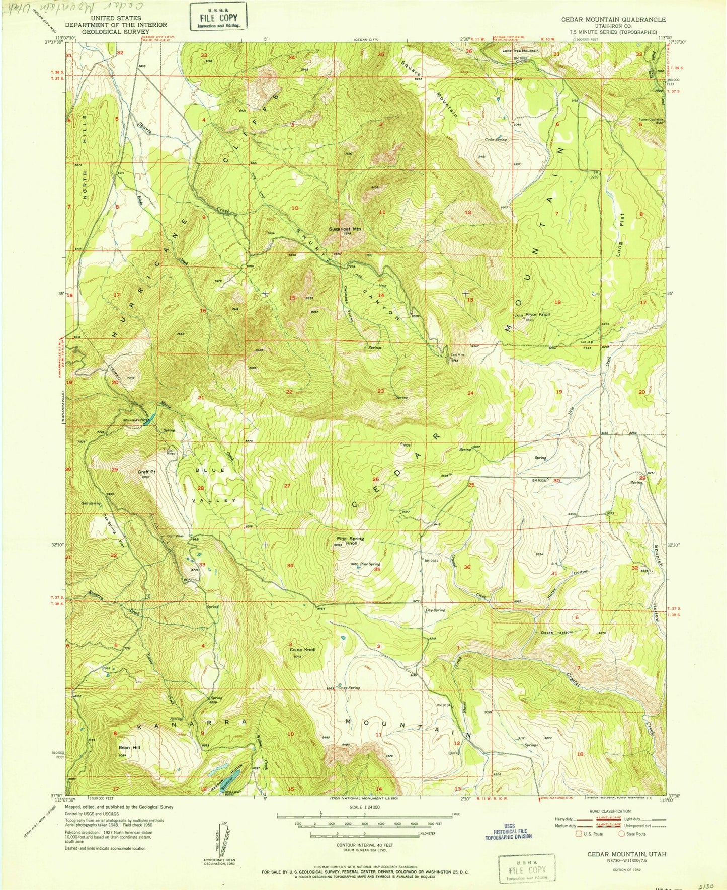
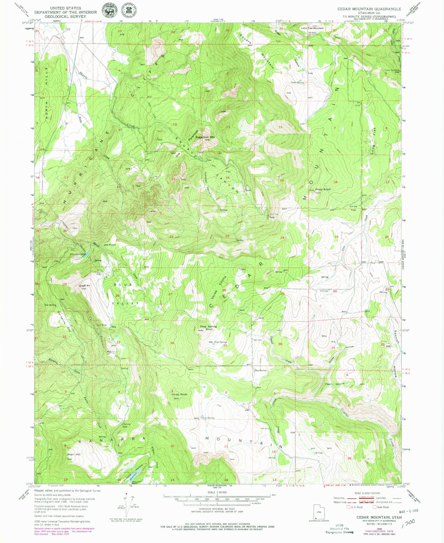
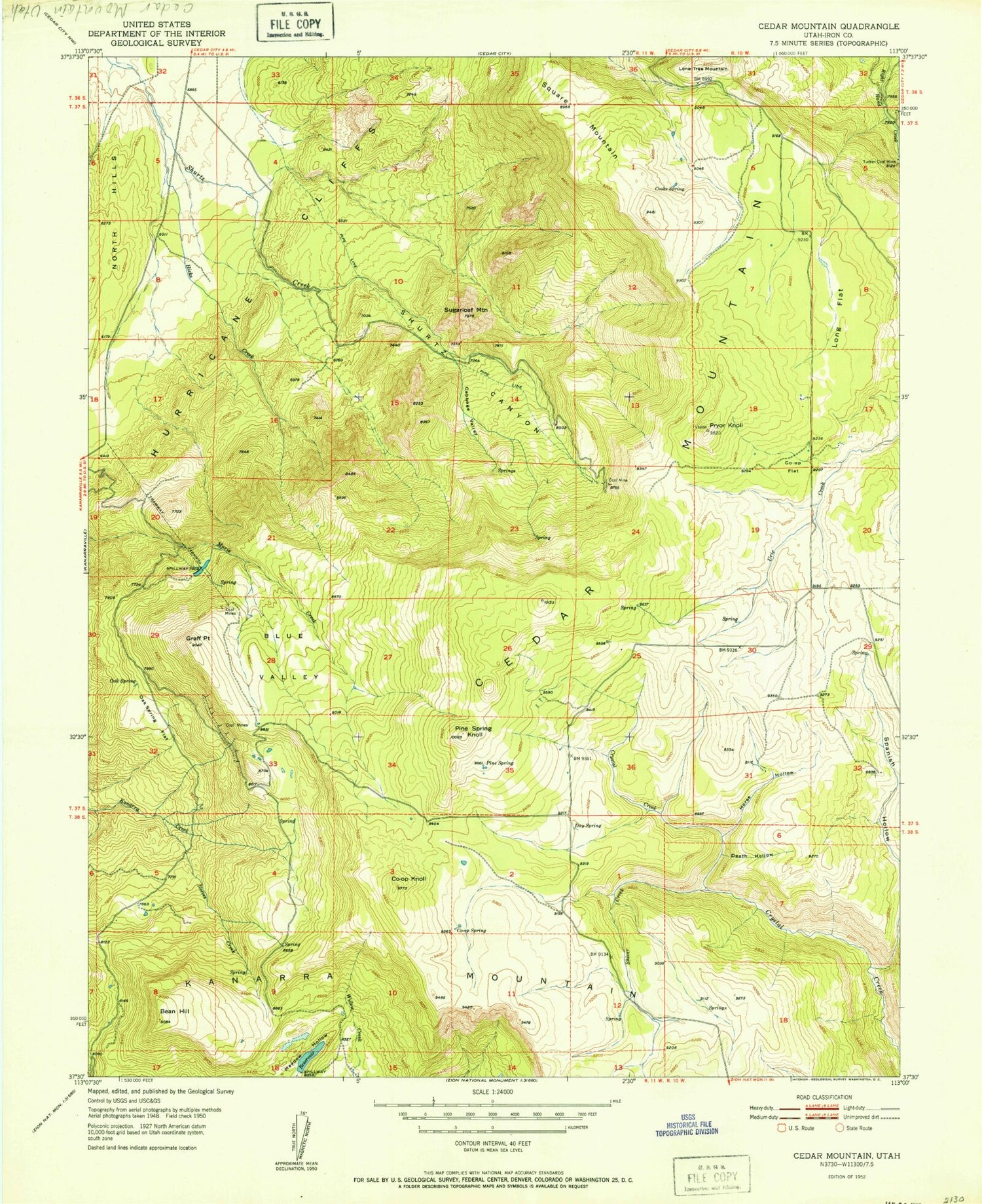
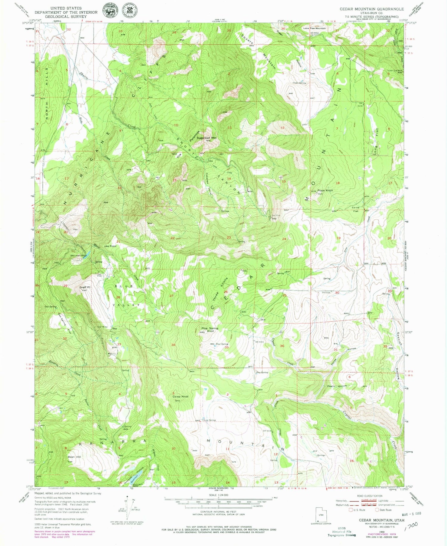
Classic USGS Cedar Mountain Utah 7.5'x7.5' Topo Map
Couldn't load pickup availability
Historical USGS topographic quad map of Cedar Mountain in the state of Utah. Map scale may vary for some years, but is generally around 1:24,000. Print size is approximately 24" x 27"
This quadrangle is in the following counties: Iron.
The map contains contour lines, roads, rivers, towns, and lakes. Printed on high-quality waterproof paper with UV fade-resistant inks, and shipped rolled.
Contains the following named places: Bean Hill, Blue Valley, Cabbage Valley, Cedar City Corp Storage Dam, Cedar City Corp Storage Reservoir, Cooks Spring, Co-op Flat, Co-op Knoll, Co-op Spring, Day Spring, Death Hollow, Graff Point, Hicks Creek, Horse Hollow, Kanarra Mountain, Lee Point, Long Flat, Oak Spring, Oak Spring Flat, Pine Spring, Pine Spring Knoll, Pryor Knoll, Reeves Creek, Shirts Canyon, Shiver Creek, Spanish Hollow, Square Mountain, Sugarloaf Mountain, The Pyramids, Three Knolls, Three Knolls Summit, Tucker Coal Mine, Woods Hollow


