MyTopo
Classic USGS Cedar River Michigan 7.5'x7.5' Topo Map
Regular price
$16.95
Regular price
Sale price
$16.95
Unit price
per
Couldn't load pickup availability
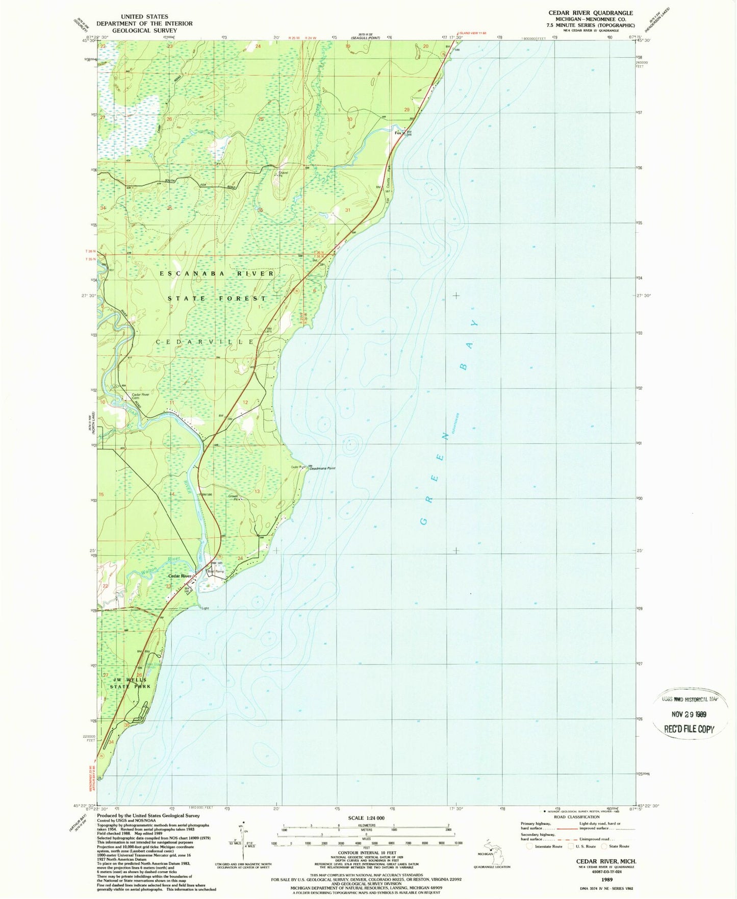
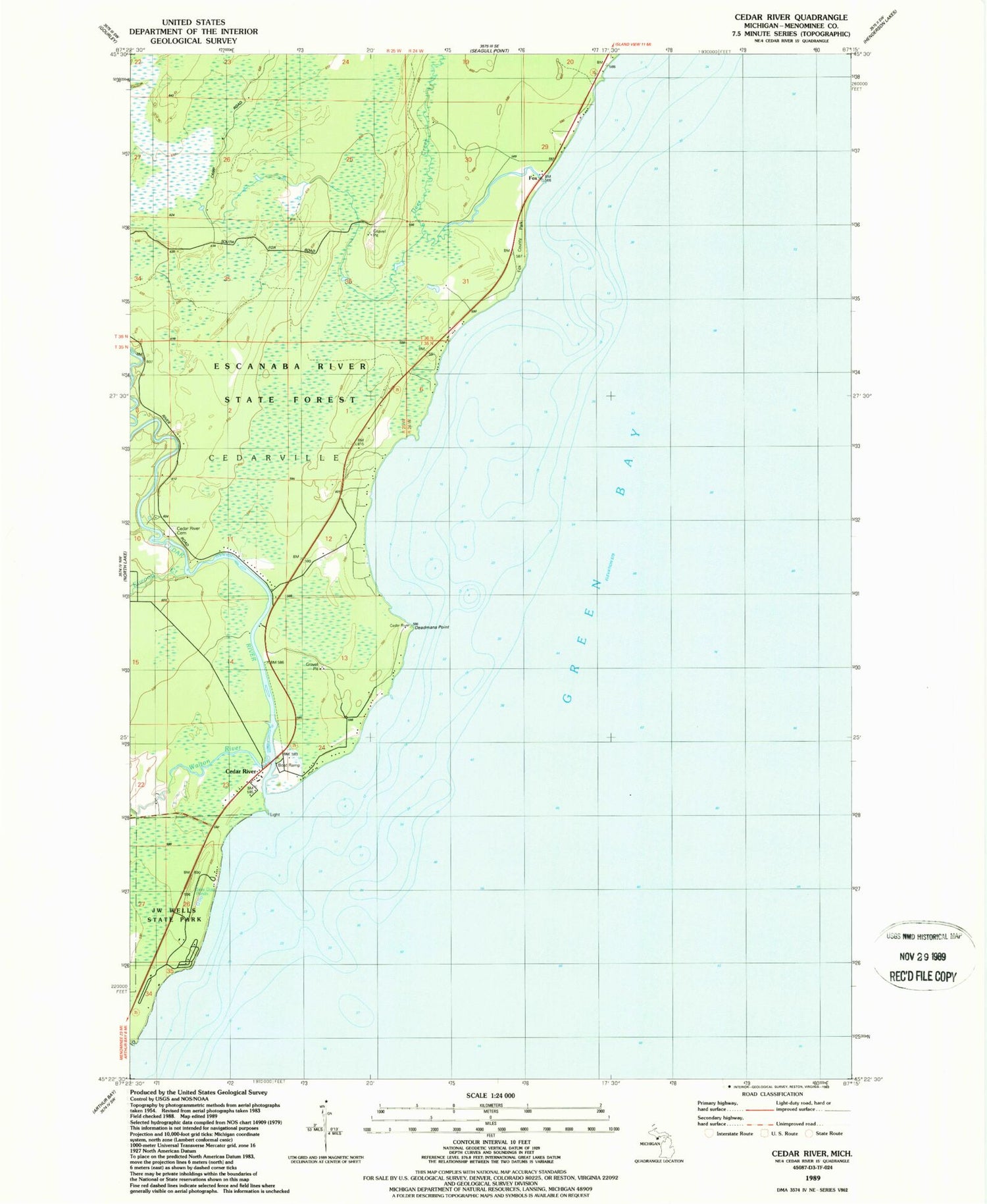
Historical USGS topographic quad map of Cedar River in the state of Michigan. Map scale may vary for some years, but is generally around 1:24,000. Print size is approximately 24" x 27"
This quadrangle is in the following counties: Menominee.
The map contains contour lines, roads, rivers, towns, and lakes. Printed on high-quality waterproof paper with UV fade-resistant inks, and shipped rolled.
Contains the following named places: Cedar River, Cedar River Cemetery, Cedar River Community Chapel, Cedar River Post Office, Cedarville Township Volunteer Fire Department, Deadmans Point, Deer Creek, Elwood Creek, Fox, Fox Park, Fox Post Office, J W Wells State Park, Walton River