MyTopo
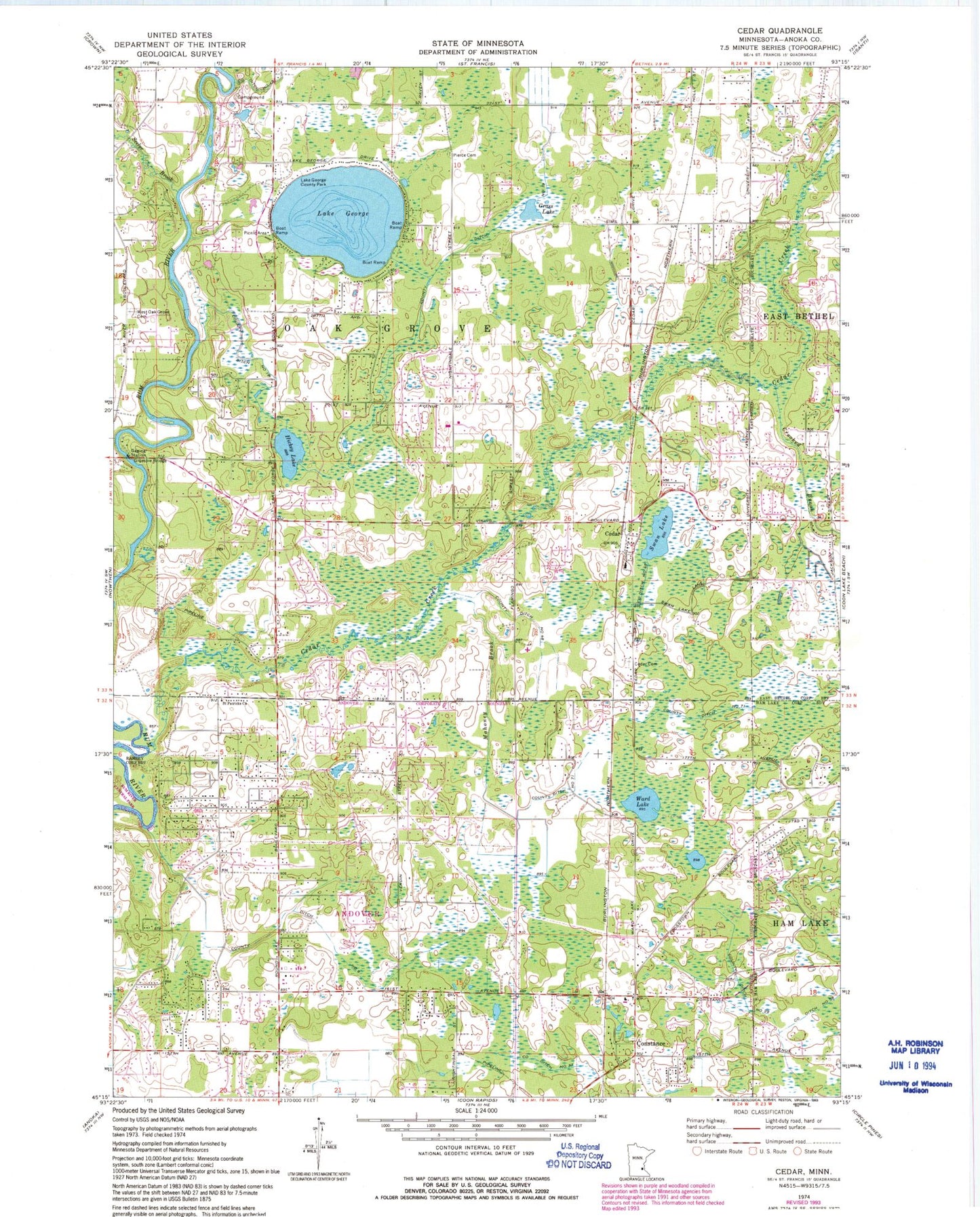
Classic USGS Cedar Minnesota 7.5'x7.5' Topo Map
Couldn't load pickup availability
Historical USGS topographic quad map of Cedar in the state of Minnesota. Map scale may vary for some years, but is generally around 1:24,000. Print size is approximately 24" x 27"
This quadrangle is in the following counties: Anoka.
The map contains contour lines, roads, rivers, towns, and lakes. Printed on high-quality waterproof paper with UV fade-resistant inks, and shipped rolled.
Contains the following named places: Allina Health Emergency Medical Service, Andover Fire Department Station 2, Andover Fire Department Station 3, Cedar, Cedar Cemetery, Cedar Creek, City of Andover, City of Oak Grove, Clark School, Constance, Constance Evangelical Free Church Cemetery, Constance Post Office, County Ditch Number Fortyeight, County Ditch Number Nineteen, County Ditch Number Seventyone, County Ditch Number Six, County Ditch Number Thirtyseven, County Ditch Number Twentynine, Crooked Brook, Gillespie Bridge, Grass Lake, Hickey Lake, Immaculate Heart of Mary Academy, Lake George, Lake George County Park, Lifelong Learning Center, Mahoney Brook, Oak Grove, Oak Grove Fire Department Station 1, Oak Grove Town Hall, Oak View Middle School, Oakgrove Post Office, Pierce Cemetery, Rum River Elementary School, Saint Patricks Church, School Number 10, School Number 33, Seelye Brook, Swan Lake, Township of Grow, Township of Oak Grove, Ward Lake, West Oak Grove Cemetery, ZIP Code: 55011