MyTopo
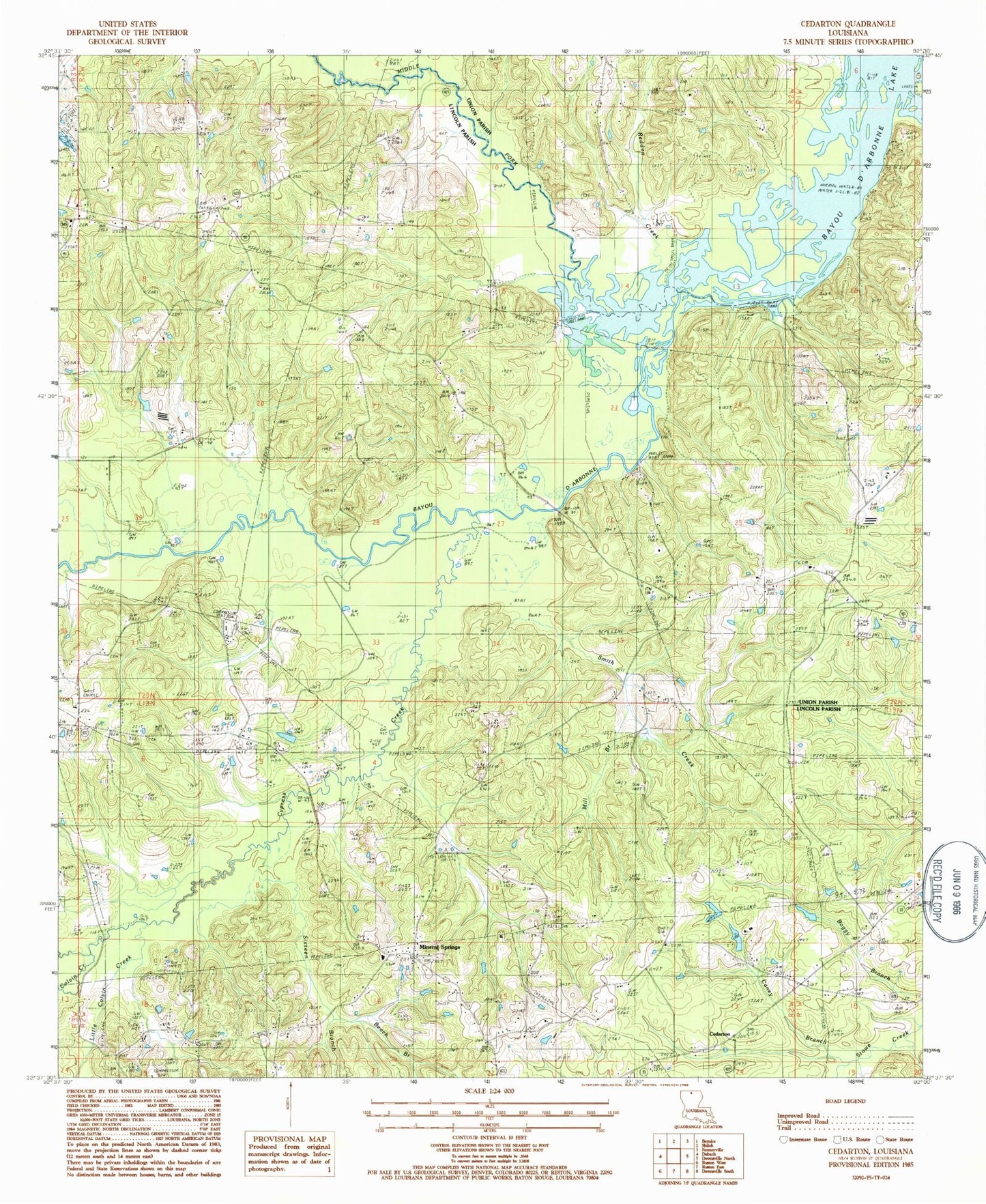
Classic USGS Cedarton Louisiana 7.5'x7.5' Topo Map
Couldn't load pickup availability
Historical USGS topographic quad map of Cedarton in the state of Louisiana. Map scale may vary for some years, but is generally around 1:24,000. Print size is approximately 24" x 27"
This quadrangle is in the following counties: Lincoln, Union.
The map contains contour lines, roads, rivers, towns, and lakes. Printed on high-quality waterproof paper with UV fade-resistant inks, and shipped rolled.
Contains the following named places: Andy Branch, Basin Branch, Beach Branch, Bryant Cemetery, Caney Branch, Cedarton, Colvin Barmore Cemetery, Colvin Creek, Colvin T R Cemetery, Culbertson, Culbertson Cemetery, Culbertson Church, Culbertson School, Cypress Creek, Evergreen Church, Fellowship Baptist Church, Fellowship Cemetery, Fellowship School, Gills Ferry, Greenville School, Little Colvin Creek, Middle Fork Bayou D'Arbonne, Mill Branch, Mineral Springs, Mineral Springs Baptist Church, Pleasant Grove Church, Pleasant Grove School, Redden Creek, Rock Corner, Rock Corner Baptist Church, Rock Corner School, Sixteen Branch, Smith Creek, Unionville Gas Field