MyTopo
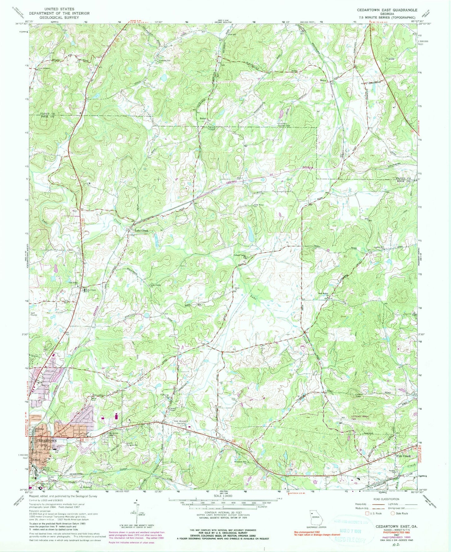
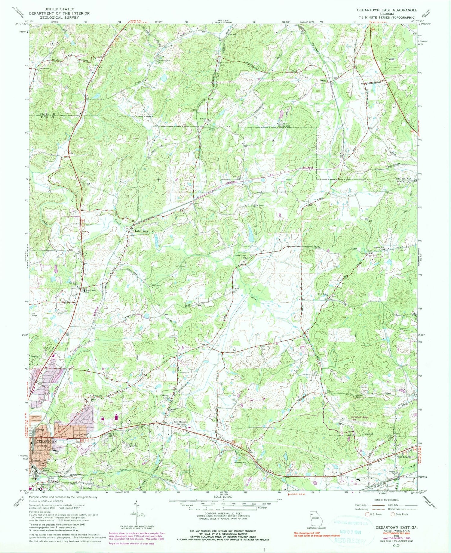
Classic USGS Cedartown East Georgia 7.5'x7.5' Topo Map
Couldn't load pickup availability
Historical USGS topographic quad map of Cedartown East in the state of Georgia. Map scale may vary for some years, but is generally around 1:24,000. Print size is approximately 24" x 27"
This quadrangle is in the following counties: Floyd, Polk.
The map contains contour lines, roads, rivers, towns, and lakes. Printed on high-quality waterproof paper with UV fade-resistant inks, and shipped rolled.
Contains the following named places: Bethlehem Church, Brice, Brice Hill Country Club, Briscoe, Casey Lake, Casey Lake Dam, Cedar Hill School, Cedartown High School, Cedartown Middle School, City of Cedartown, Collard Valley Church, Daniel Merner Chapel, Doyal Road Church, Eastview Baptist Church, Eastview Church, Eastview Public School, Ethel Harpst School for Dependent Children, Fish Creek, Fish Spring, Georgia State Patrol Troop A Post 29 Cedartown, Gordon Hill Church, Grady, Green, Greenwood Cemetery, Harpst Academy, Hillside Mission, Holiness Church, Jones Spring, Lake Creek, Lake Creek Church, Lake Creek School, Locke Spring, Lyle School, Murphy - Harpst Children's Center Harpst Campus, New Bethel Church, New Home Church, New Prospect Cemetery, New Prospect Church, Northview Cemetery, Oak Grove Baptist Church, Oak Grove Baptist Church Cemetery, Open Door Church, Pleasant Hill Cemetery, Pleasant Hill Church, Polk County, Polk County Airport/Cornelius Moore Field, Polk County Fire Department Fish Creek Station, Polk County Fire Department Lake Creek Station, Polk County Jail, Polk County Sheriff's Office, Polk County Volunteer Fire Department, Polk Medical Center, Polk Memorial Gardens Cemetery, Relay, Sardis Church, Victory Church, Vineyard Harvester Christian Academy, Wesley Chapel, Westside Elementary School, Wimberly Hill Baptist Church, Wimberly Hill Baptist Church Cemetery


