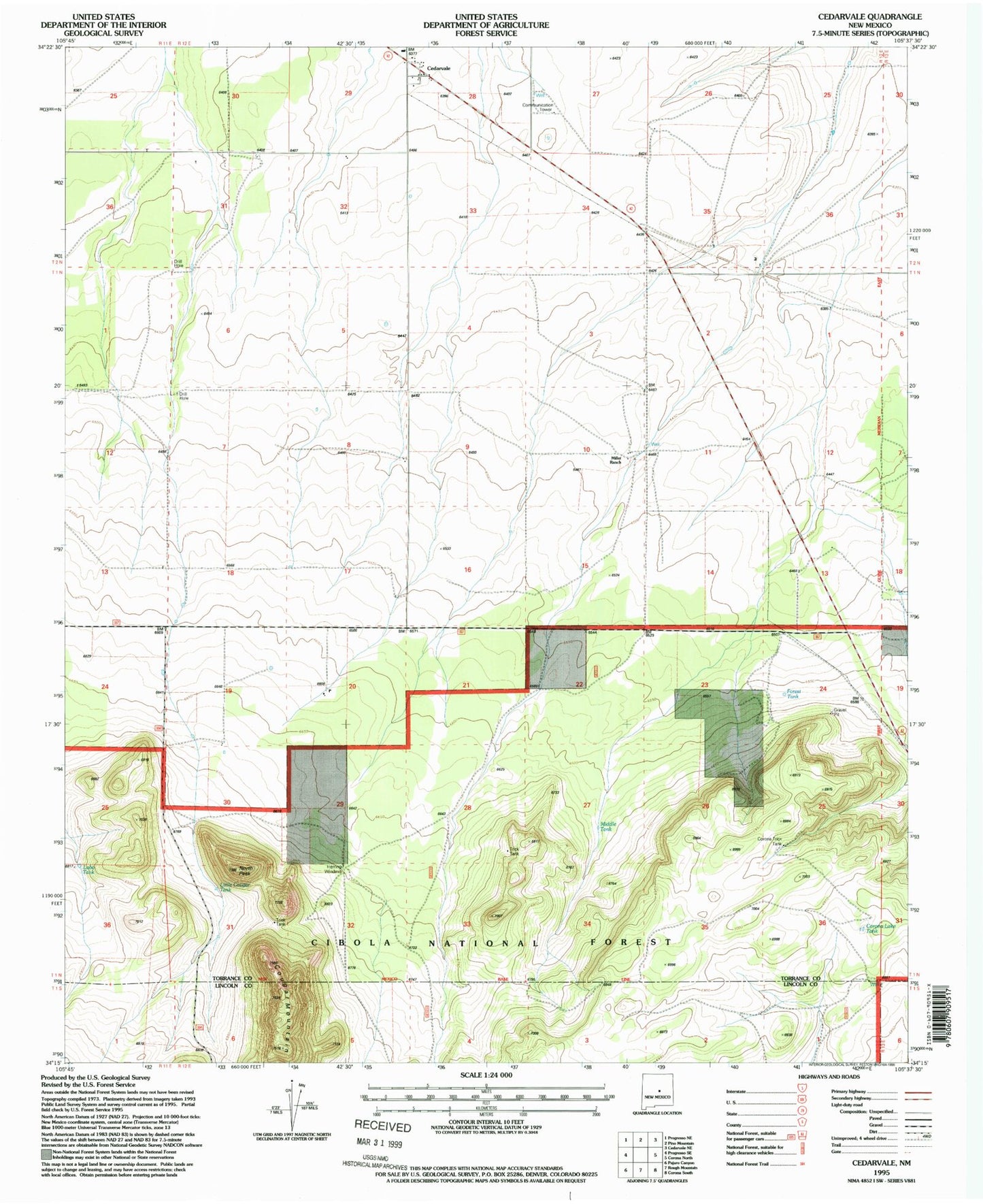
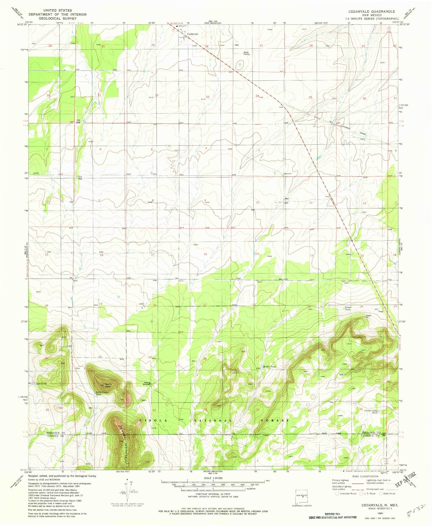
MyTopo
Classic USGS Cedarvale New Mexico 7.5'x7.5' Topo Map
Regular price
$16.95
Regular price
Sale price
$16.95
Unit price
per
Couldn't load pickup availability
Historical USGS topographic quad map of Cedarvale in the state of New Mexico. Map scale may vary for some years, but is generally around 1:24,000. Print size is approximately 24" x 27"
This quadrangle is in the following counties: Lincoln, Torrance.
The map contains contour lines, roads, rivers, towns, and lakes. Printed on high-quality waterproof paper with UV fade-resistant inks, and shipped rolled.
Contains the following named places: Cedarvale, Cedarvale Post Office, Corona Airport, Corona Lake Tank, Corona Trick Tank, Cougar Mountain, Forest Tank, Fox Ranch, Herring Windmill, Little Cougar Tank, Lobo Tank, Middle Tank, Miller, Miller Ranch, North Peak, Shartzer Windmill