MyTopo
Classic USGS Cedarville Indiana 7.5'x7.5' Topo Map
Couldn't load pickup availability
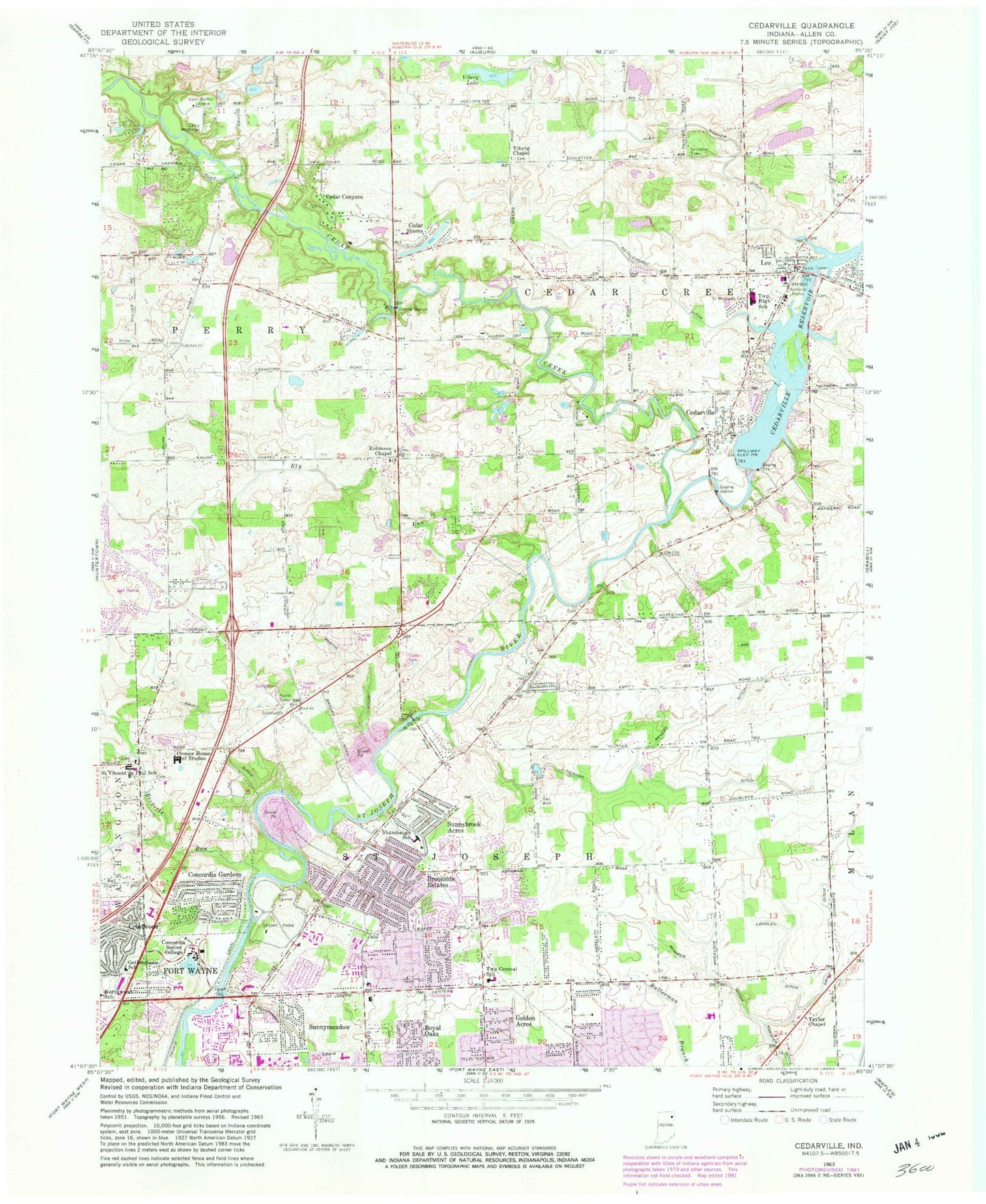
Historical USGS topographic quad map of Cedarville in the state of Indiana. Typical map scale is 1:24,000, but may vary for certain years, if available. Print size: 24" x 27"
This quadrangle is in the following counties: Allen.
The map contains contour lines, roads, rivers, towns, and lakes. Printed on high-quality waterproof paper with UV fade-resistant inks, and shipped rolled.
Contains the following named places: Concordia Theological Seminary, Alex Warner Ditch, Becketts Run, Brookside Estates, Camp McMillan, Cedar Canyons, Cedar Creek, Cedar Shores, Cedarville, Cedarville Reservoir, Concordia Gardens, Concordia Senior College, Crestwood, Crosier House of Studies, Ely Run, Gethsemane School, Golden Acres, Grice Ditch, Langley Ditch, Leo, Martin Ditch, Mowrer Ditch, Nettlehorst Ditch, Northwood School, Revert Ditch, Robinson Chapel, Royal Oaks, Saint Leo Cemetery, Schlatter Cemetery, Schoppman Drain, Willard Shambaugh Elementary School, Shoaff Park, Sunnybrook Acres, Sunnymeadow, Swift Ditch, Taylor Chapel, Township Central School, Viberg Chapel, Viberg Lake, Leo Junior/Senior High School, Ely Bridge, Poe Lake, Poe Lake Dam, Exner Airport (historical), Township of Cedar Creek, Township of Saint Joseph, Leo-Cedarville, Town of Leo-Cedarville, Tiernan Ditch, Fort Wayne Fire Department Station 8, Saint Joseph Township Fire Department, Fort Wayne Fire Department Station 13, Northeast Fire and Emergency Medical Services Territory Base 170, Dupont Hospital, Parkview North Hospital, Parkview Orthopedic Hospital, Stettler Strip, Saint Vincent Catholic Church, Leo Post Office