MyTopo
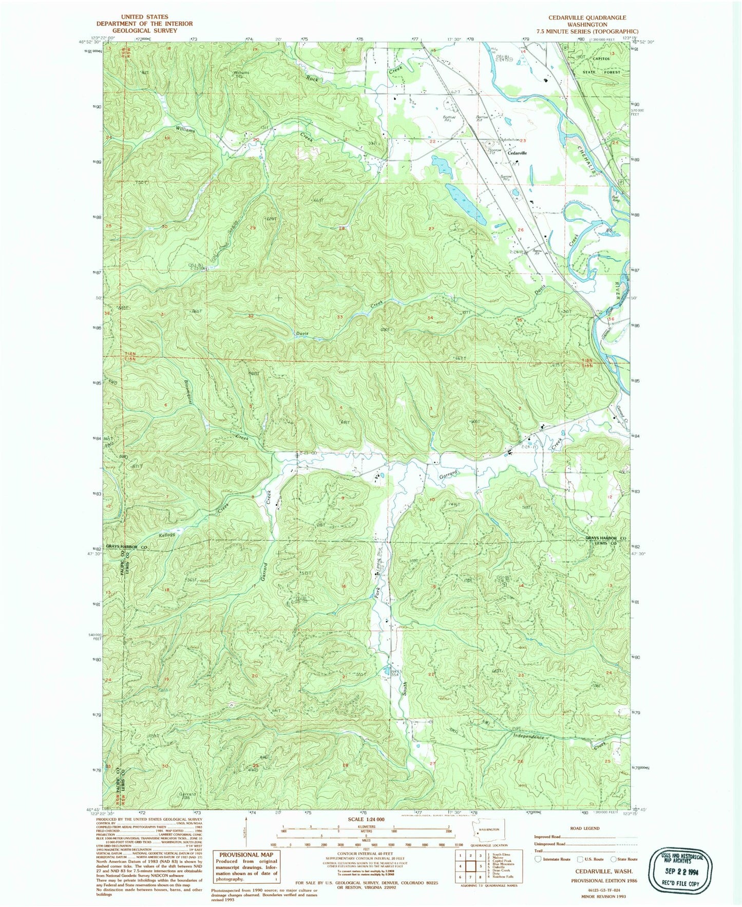
Classic USGS Cedarville Washington 7.5'x7.5' Topo Map
Couldn't load pickup availability
Historical USGS topographic quad map of Cedarville in the state of Washington. Map scale may vary for some years, but is generally around 1:24,000. Print size is approximately 24" x 27"
This quadrangle is in the following counties: Grays Harbor, Lewis, Pacific.
The map contains contour lines, roads, rivers, towns, and lakes. Printed on high-quality waterproof paper with UV fade-resistant inks, and shipped rolled.
Contains the following named places: Bloomquist Creek, Callow, Cedarville, Cedarville Gravel Quarry, Cedarville Quarry, Davis Creek, Garrard Creek, Grays Harbor Fire District 1 Station 2, Kellogg Creek, Kimbrel Farm Airport, Lewis County Fire District 12 Riverside Fire Authority Station 8, Oakville Division, Reilly Dam, South Fork Garrard Creek, Williams Creek, ZIP Code: 98568