MyTopo
Classic USGS Celina Ohio 7.5'x7.5' Topo Map
Couldn't load pickup availability
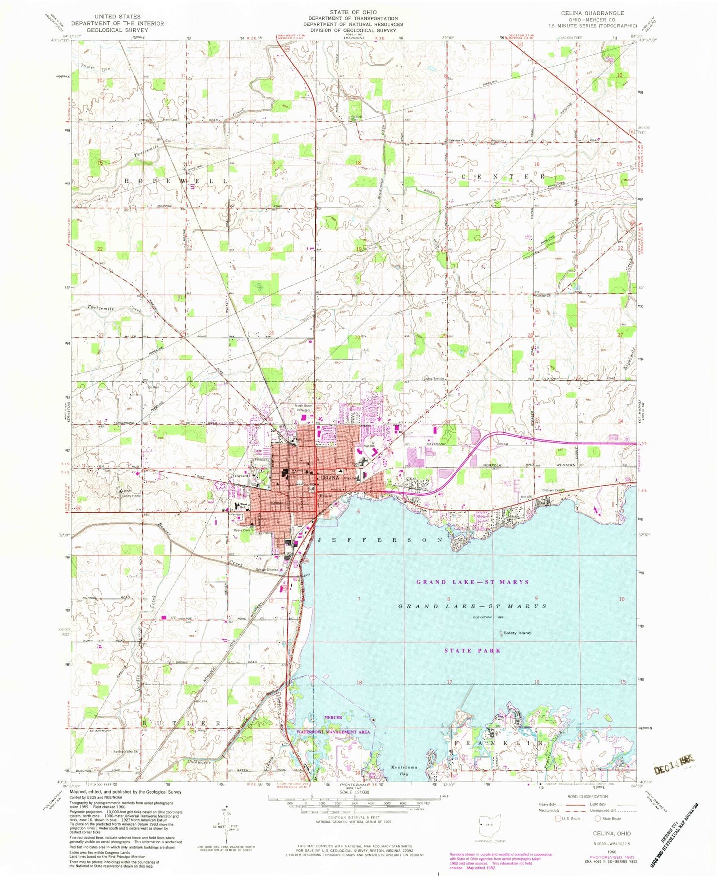
Historical USGS topographic quad map of Celina in the state of Ohio. Map scale may vary for some years, but is generally around 1:24,000. Print size is approximately 24" x 27"
This quadrangle is in the following counties: Mercer.
The map contains contour lines, roads, rivers, towns, and lakes. Printed on high-quality waterproof paper with UV fade-resistant inks, and shipped rolled.
Contains the following named places: Abbeywood Estates, Bass Landing, Beougher School, Bethany Evangelical Church, Bethany Evangelical United Brethren Church, Blierdofer Ditch, Burntwood Creek, Celina, Celina Cinema 5, Celina City Administration Building, Celina Fire Department, Celina Friends Church, Celina High School, Celina Main Street Commercial Historic District, Celina Middle School, Celina Mobile Home Park, Celina Police Department, Celina Post Office, Celina Power Plant, Celina School, Celina Sewage Treatment Plant, Celina Temple, Celina Water Treatment Plant, Center Church, Center School, Cheryl Ann School, Church of God, City of Celina, Clutter School, Coldwater Beach, Coldwater Creek, Cole's Trailer Park, Dwyer-Mercer County Library, Eagle Island, Earley, Earley Post Office, East Elementary School, Eastview Park, Fairview Cemetery, Fairview Church, First Church of Christ Scientist, Five Points School, Grand Lake, Grand Lake Mobile Home Park, Grand Lake Mushroom Farm, Grassy Creek, Green Ditch, Green Island, Harbor Point, Harbor Point State Park, Hardin Creek, Harts Shopping Center, Highland Park, Houtz Ditch, Immaculate Conception Catholic Cemetery, Immaculate Conception Catholic Church, Immaculate Conception High School, Immaculate Conception School, Kingdom Hall of Jehovahs Witnesses, Kiser School, Lake Front Raquet Club, Lake Theatre, Lakeland Beach, Livingston Mobile Home Park, Mariners Point, McDaniels School, Mercelina Park, Mercer County Courthouse, Mercer County Emergency Medical Services, Mercer County Fairgrounds, Mercer County Home, Mercer County Jail, Mercer County Law Library, Mercer County Sheriff's Office, Mercer Memory Gardens, Monroe Creek, Montezuma Acres, Montezuma Bay, Mosier School, Mount Hope School, North Grove Cemetery, North Shore Park, Nuding Farms, Oldtown Cemetery, Otis Hospital, Petrie Cemetery, Pilgrim Holiness Church, Piper School, Plaza Shopping Center, Prairie Creek, Pullman Bay Park, Roberts Cemetery, Safety Island, Saint Johns Evangelical Lutheran Church, Saint Pauls Methodist Church, Sleepy Hollow Acres, Spring Valley Church, Stoner Farms, Summit Court, The Maples, Township of Center, Township of Jefferson, Township of Wayne, Turtle Neck Point, Union Cemetery, Van Tilburg Farms, WCSM-AM (Celina), WCSM-FM (Celina), Wenskes Ditch, West Elementary School, Westview Park, Windy Point, Windy Point Marina, WKKI-FM (Celina), Wood Haven Mobile Home Park, Wright State University - Lake Campus, ZIP Code: 45822


