MyTopo
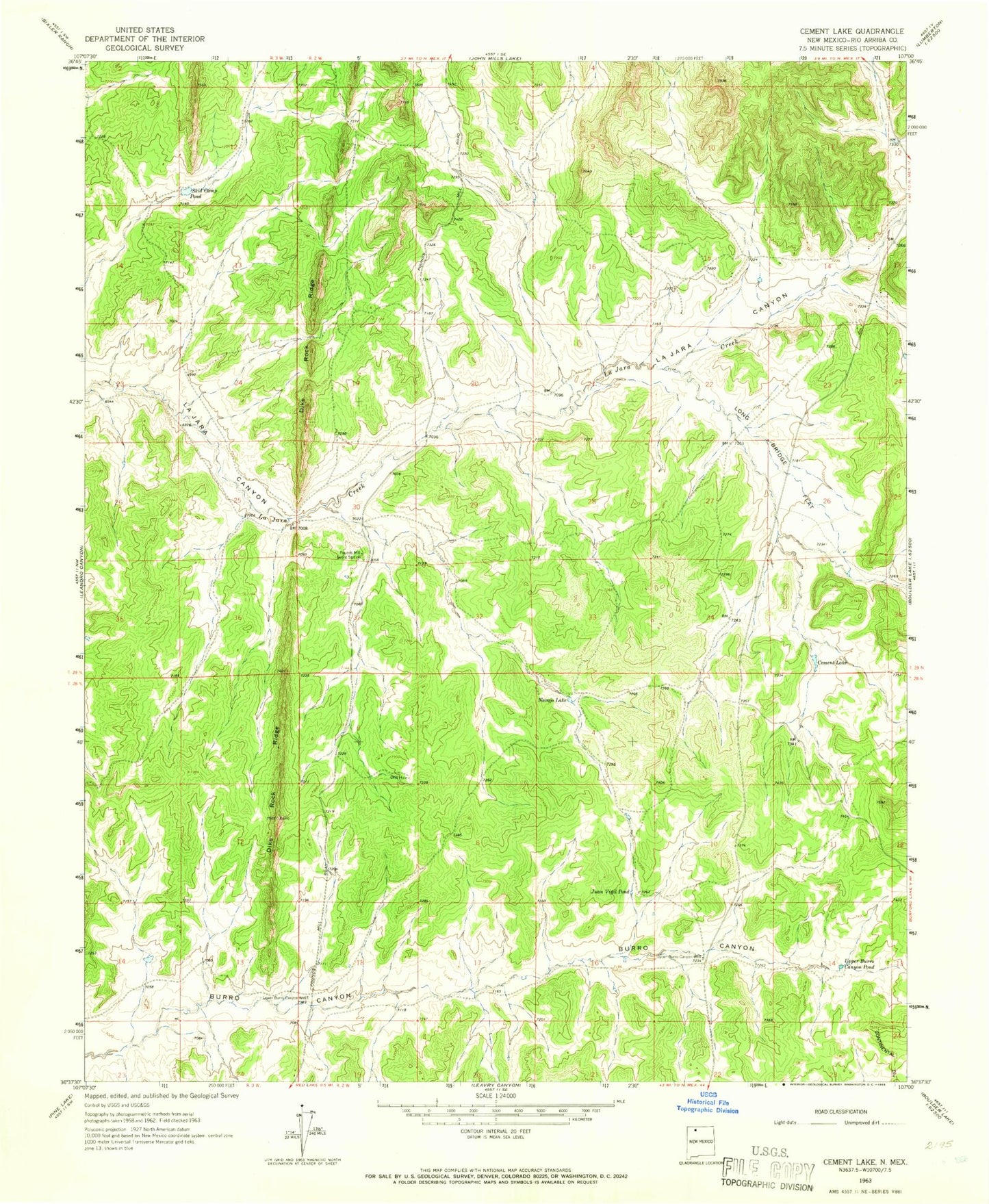
Classic USGS Cement Lake New Mexico 7.5'x7.5' Topo Map
Couldn't load pickup availability
Historical USGS topographic quad map of Cement Lake in the state of New Mexico. Map scale may vary for some years, but is generally around 1:24,000. Print size is approximately 24" x 27"
This quadrangle is in the following counties: Rio Arriba.
The map contains contour lines, roads, rivers, towns, and lakes. Printed on high-quality waterproof paper with UV fade-resistant inks, and shipped rolled.
Contains the following named places: Bia 16 Water Well, Cement Lake, Dike Rock Ridge, Jicarilla Apache Division, Juan Vigil Pond, La Jara Lake Dam, Long Bridge Flat, Lower Burro Canyon Well, Navajo Lake, Pounds, Pounds Mill Guard Station, Range Unit 38 Water Well, Skid Camp Pond, Telephone Canyon, Upper Burro Canyon Pond, Upper Burro Canyon Well