MyTopo
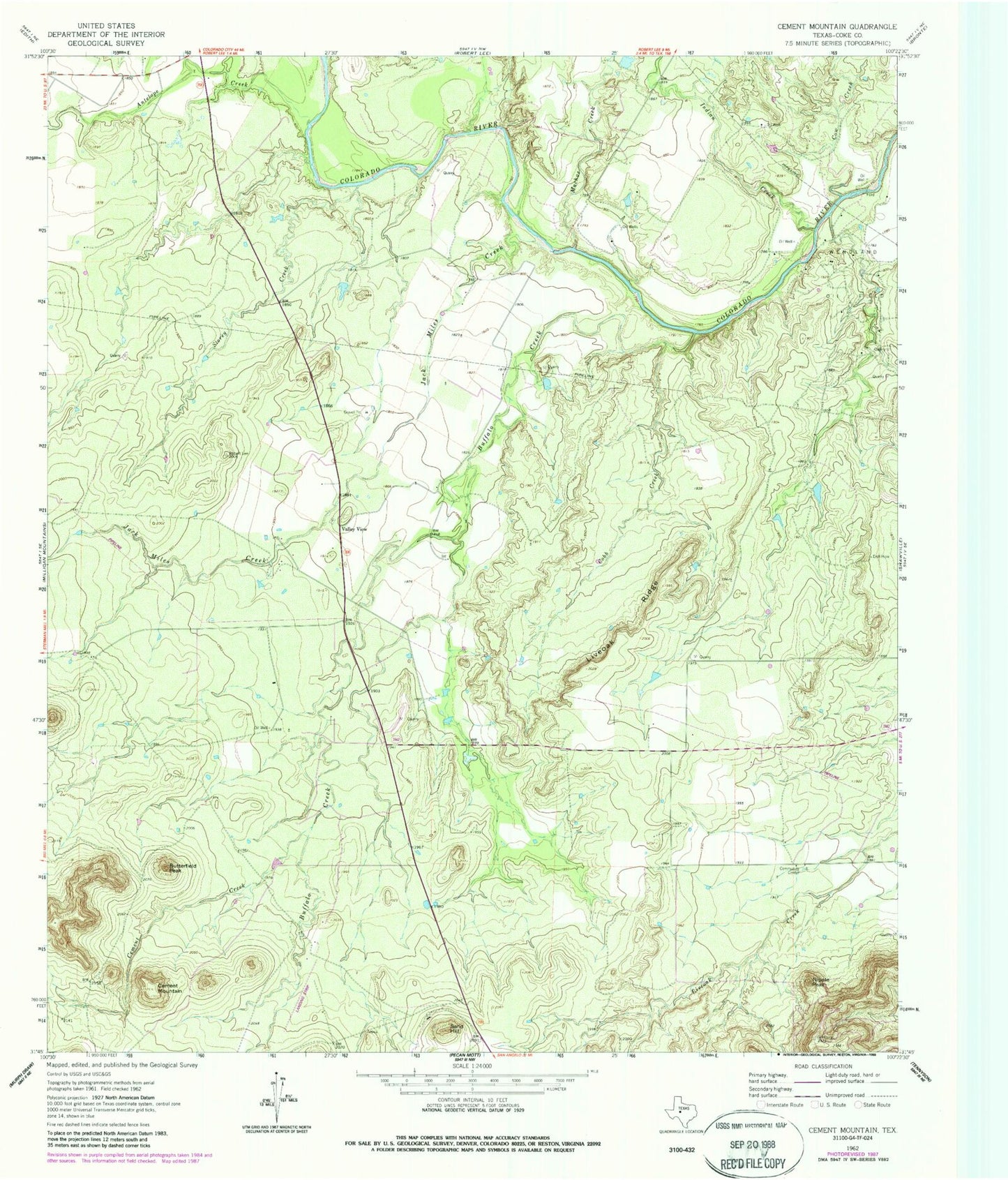
Classic USGS Cement Mountain Texas 7.5'x7.5' Topo Map
Regular price
$16.95
Regular price
Sale price
$16.95
Unit price
per
Couldn't load pickup availability
Historical USGS topographic quad map of Cement Mountain in the state of Texas. Map scale may vary for some years, but is generally around 1:24,000. Print size is approximately 24" x 27"
This quadrangle is in the following counties: Coke.
The map contains contour lines, roads, rivers, towns, and lakes. Printed on high-quality waterproof paper with UV fade-resistant inks, and shipped rolled.
Contains the following named places: Antelope Creek, Buffalo Creek, Butterfield Peak, Cement Creek, Cement Mountain, Cobb Creek, Cow Creek, Indian Creek, Jack Miles Creek, Little Round Mountain, Liveoak Ridge, Machae Creek, Nipple Peak, Sand Hill, Storey Creek, Valley View, Valley View Cemetery, Wendland Oil Field