MyTopo
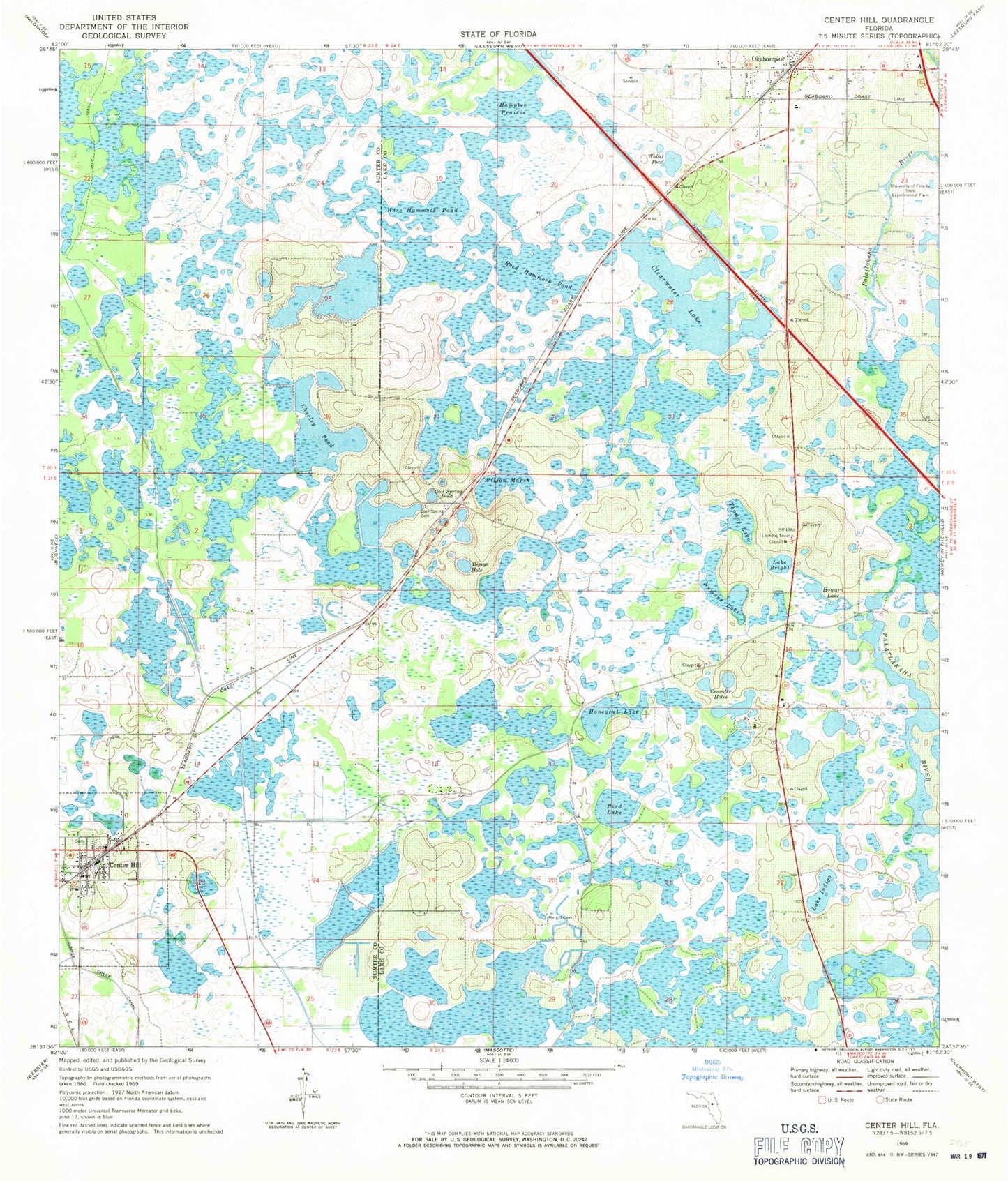
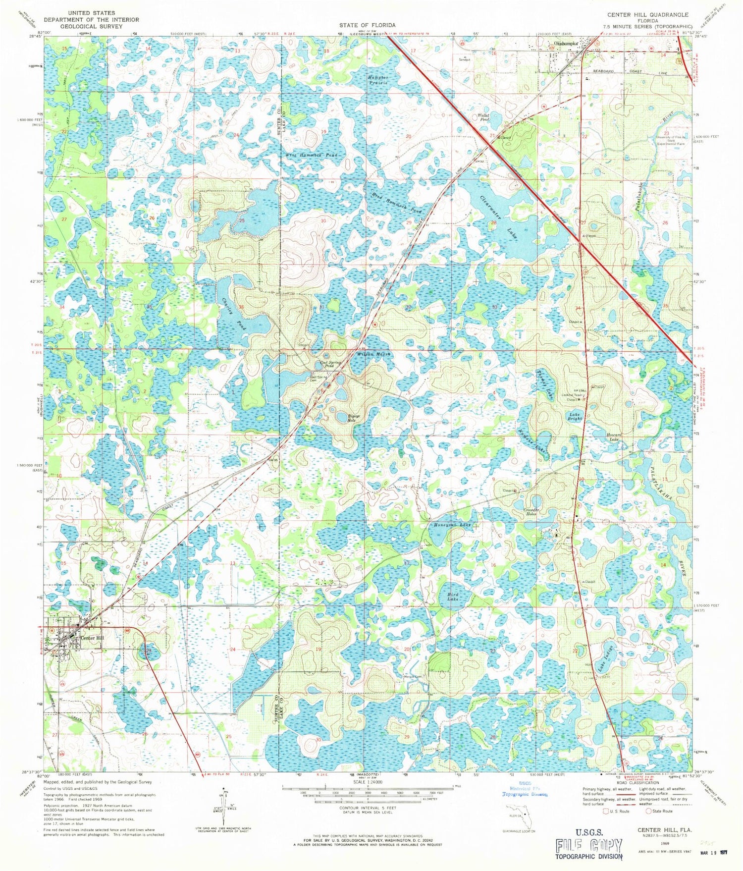
Classic USGS Center Hill Florida 7.5'x7.5' Topo Map
Couldn't load pickup availability
Historical USGS topographic quad map of Center Hill in the state of Florida. Map scale may vary for some years, but is generally around 1:24,000. Print size is approximately 24" x 27"
This quadrangle is in the following counties: Lake, Sumter.
The map contains contour lines, roads, rivers, towns, and lakes. Printed on high-quality waterproof paper with UV fade-resistant inks, and shipped rolled.
Contains the following named places: Baptising Pond, Bigeye Hole, Bird Lake, Bush Station, Cason, Center Hill, Center Hill Cemetery, Center Hill City Hall, Center Hill Police Department, Center Hill Post Office, Center Hill Presbyterian Church, Center Hill Water Tower, Charley Pond, Clear Lake Campground, Clearwater Lake, Cool Spring Cemetery, Cool Spring Pond, Corpus Christi Episcopal Church, Covenant Holiness Church, Crowder Holes, First Baptist Church of Center Hill, First Baptist Church of Okahumpka, Grass Roots Airpark, Groveland Academy, Groveland Tower, Hampton Prairie, Honeycut Lake, Howard Lake, Independent Free Will Baptist Church of Center Hill, Lake Bright, Lake Emergency Medical Services Station 231, Lake Harris Square, Lake Indigo, Lake Orlando Golf Club, Lakes at Sandridge Golf Club, Leesburg Fire Department Station 64, Merritt Cemetery, New Bethel African Methodist Episcopal Church, Numans Lake, Okahumpka, Okahumpka Census Designated Place, Okahumpka Post Office, Pentecostal Lighthouse Fellowship, Pilaklakha, Reed Hammock Pond, Shady Grove Youth Camp, Sumter County Fire Department And Rescue Station 14 Center Hill Fire District, Tex Merritt Private Airstrip, Thomas Lake, University of Florida State Experimental Farm, Wallet Pond, Wilson Marsh, Wise Hammock Pond, ZIP Code: 33514


