MyTopo
Classic USGS Center Point West Virginia 7.5'x7.5' Topo Map
Couldn't load pickup availability
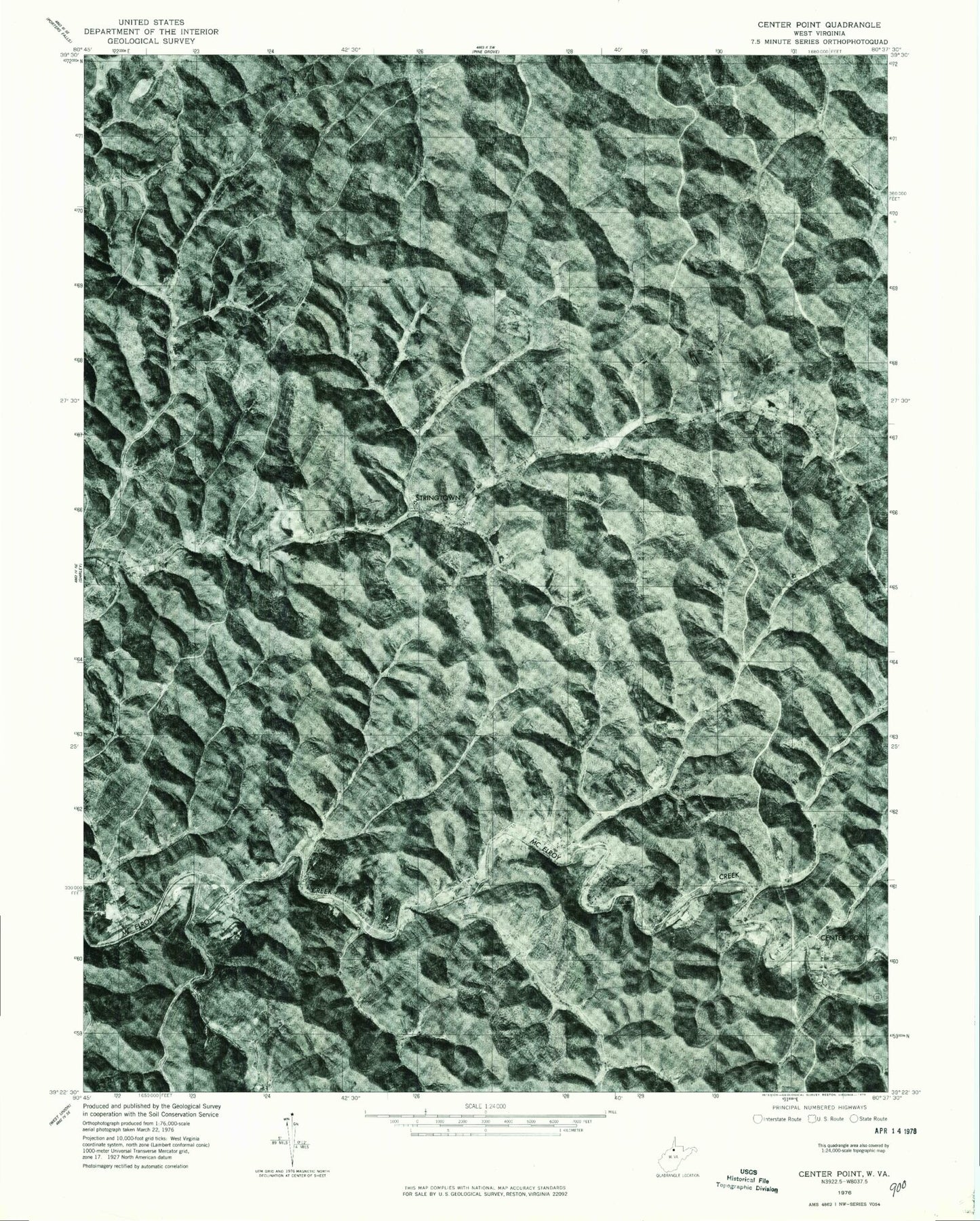
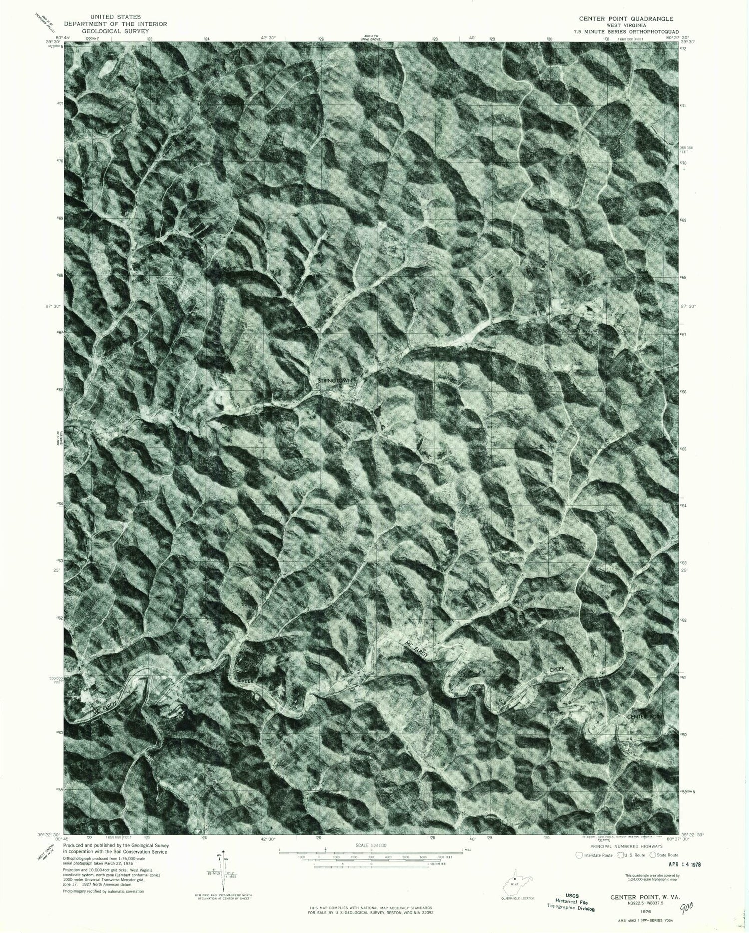
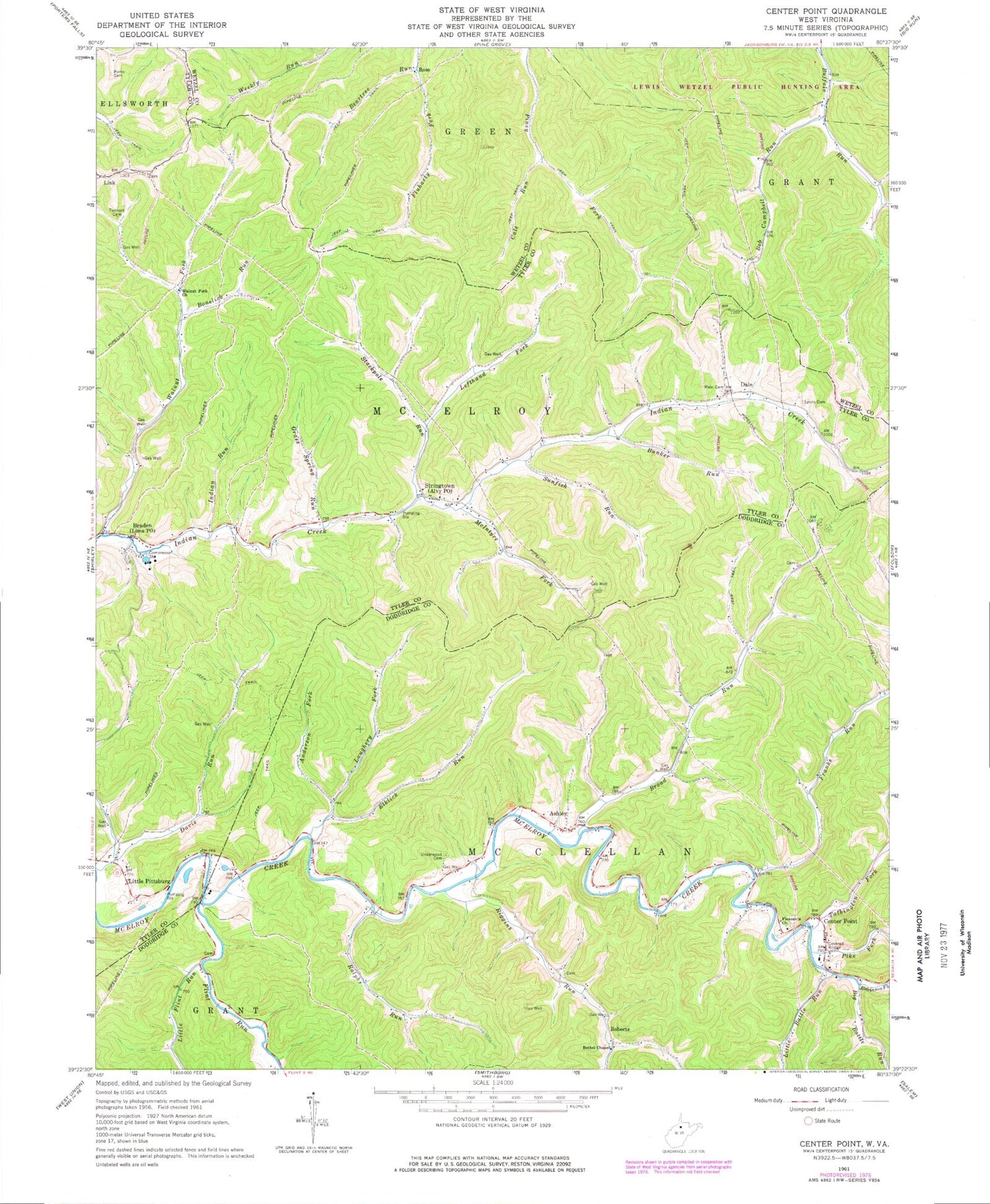
Historical USGS topographic quad map of Center Point in the state of West Virginia. Map scale may vary for some years, but is generally around 1:24,000. Print size is approximately 24" x 27"
This quadrangle is in the following counties: Doddridge, Tyler, Wetzel.
The map contains contour lines, roads, rivers, towns, and lakes. Printed on high-quality waterproof paper with UV fade-resistant inks, and shipped rolled.
Contains the following named places: Allen School, Alvy Post Office, Anderson Fork, Ashley, Beartree Run, Bethel Chapel, Big Battle Run, Bonelick Run, Braden, Broad Run, Broad Run School, Buffalo Run School, Bunker Run, Cale Run, Campbell Run, Center Point, Center Point Cemetery, Center Point Christian Church, Center Point Covered Bridge, Center Point Post Office, Dale, Davis Run, Elklick Run, Elklick School, Flint Run, Franks Run, Golden Don School, Grass Spring Run, Indian Run, Laughery Fork, Lefthand Fork Stackpole Run, Lima Post Office, Link, Little Battle Run, Little Flint Run, Little Pittsburg, Lower Franks Run School, Lower Riggins Run School, Lyons Cemetery, Lyons School, Main Cemetery, McClellan Volunteer Fire Department, McIntyre Fork, Melburn School, Mountain State Academy, Oakland School, Parks Cemetery, Pike Fork, Pleasant Baptist Cemetery, Pleasant Baptist Church, Ralphs Run, Riggins Run, Roberts, Robinson Fork, Ross, Ross School, Shadeland School, Stackpole Run, Stringtown, Sunfish Run, Talkington Fork, Tennant Cemetery, Underwood Cemetery, Walnut Fork, Walnut Fork Church, Walnut Fork School, ZIP Codes: 26377, 26419