MyTopo
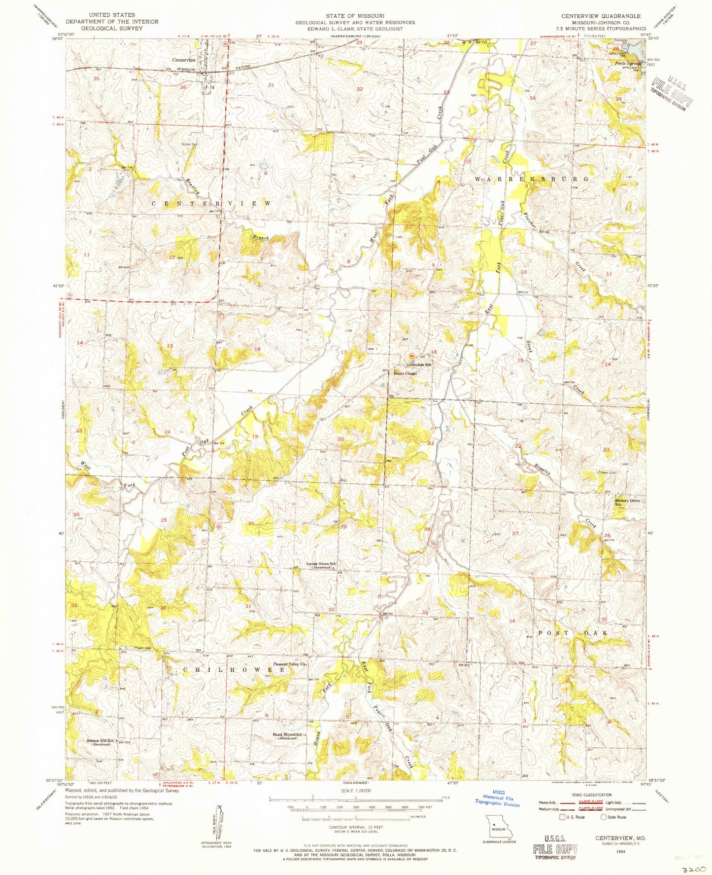
Classic USGS Centerview Missouri 7.5'x7.5' Topo Map
Couldn't load pickup availability
Historical USGS topographic quad map of Centerview in the state of Missouri. Map scale may vary for some years, but is generally around 1:24,000. Print size is approximately 24" x 27"
This quadrangle is in the following counties: Johnson.
The map contains contour lines, roads, rivers, towns, and lakes. Printed on high-quality waterproof paper with UV fade-resistant inks, and shipped rolled.
Contains the following named places: Bradley Branch, Brawley Creek, Briscoe School, Centerview, Centerview Post Office, City of Centerview, Crest Ridge Elementary School, Easterwood Lake, Easterwood Lake Dam, Fletcher Creek, Glendale School, Greer Cemetery, Hazel Mound School, Hickory Grove School, Hogan Fork, Houts Chapel, Johnson County, Johnson County Fire Protection District Station 5 Centerview, Lions Lake, Lions Lake Dam, Locust Grove School, Masonic Hall School, Pertle Springs Dam, Pisgah Cemetery, Pleasant Valley Church, Science Hill School, Scott, Scott Post Office, Short Air Airport, Sluder Cemetery, Stoak Creek


