MyTopo
Classic USGS Centerville West Iowa 7.5'x7.5' Topo Map
Couldn't load pickup availability
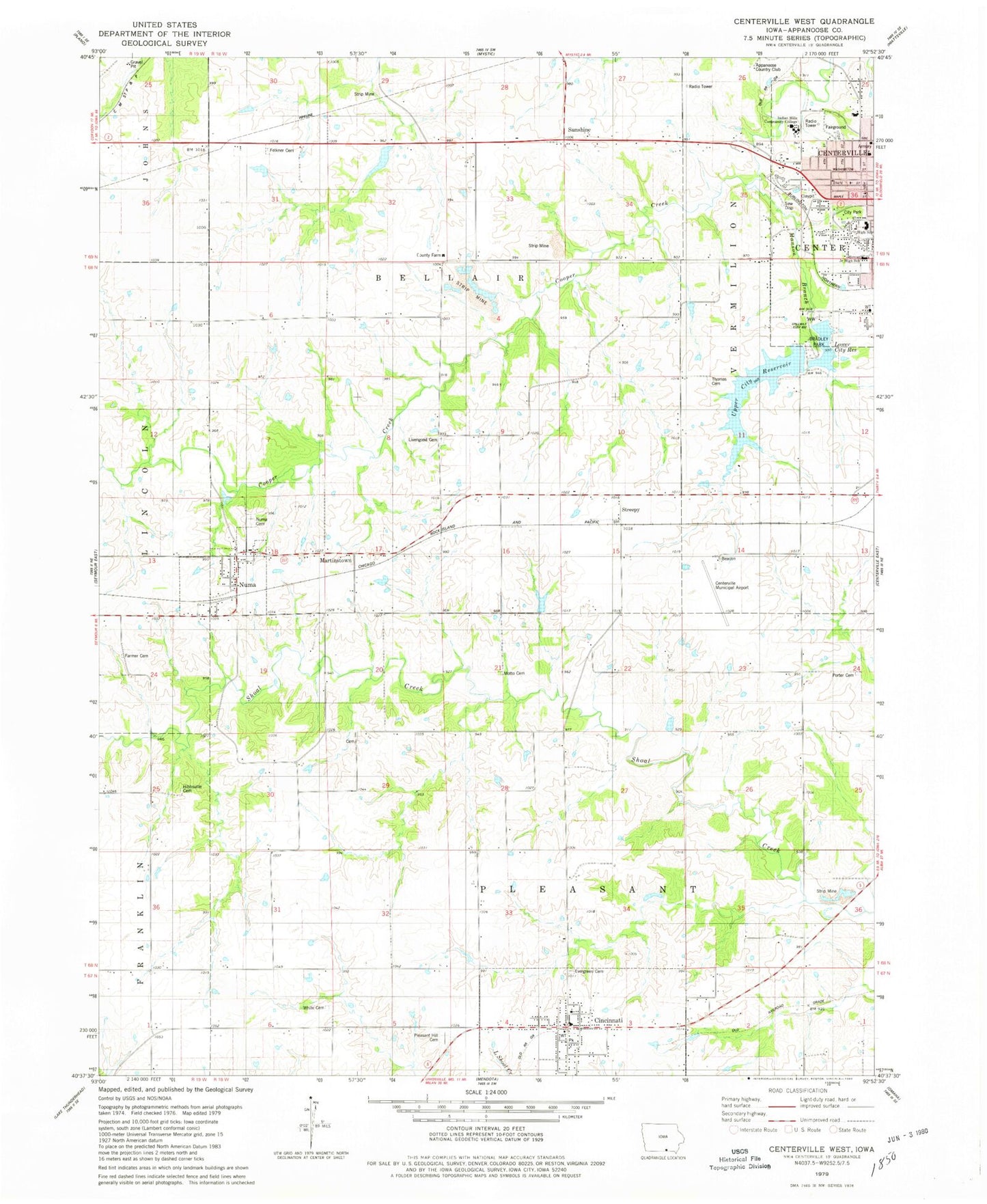
Historical USGS topographic quad map of Centerville West in the state of Iowa. Map scale may vary for some years, but is generally around 1:24,000. Print size is approximately 24" x 27"
This quadrangle is in the following counties: Appanoose.
The map contains contour lines, roads, rivers, towns, and lakes. Printed on high-quality waterproof paper with UV fade-resistant inks, and shipped rolled.
Contains the following named places: Adamson Cemetery, Apostolic Pentecostal Church, Appanoose Country Club, Appanoose County Farm, Appanoose County Sheriff's Office, Baker Cemetery, Bellair, Bellair Post Office, Bradley Park, Centerville Center Library, Centerville Family Care Center, Centerville Gospel Chapel, Centerville High School, Centerville Municipal Airport, Centerville Post Office, Centerville Preschool, Cincinnati, Cincinnati City Hall, Cincinnati Elementary School, Cincinnati Post Office, Cincinnati Volunteer Fire Department, City of Cincinnati, City of Numa, County Farm Cemetery, Dale Baptist Church, Dora Barnes Residential Home, East Pleasant Church of Christ, Evergreen Cemetery, Faith United Parish, Farmer Cemetery, Felkner Cemetery, First Baptist Church, Grace Tabernacle Baptist Church, Heritage Christian School, Hibbsville, Hibbsville Cemetery, Hibbsville Post Office, Howar Junior High School, Indian Hills Community College - Centerville Campus, KCOG-AM (Centerville), Lakeview Elementary School, Livengood Cemetery, Lower City Reservoir, Manson Branch, Martinstown, Morrison Cemetery, Motto Cemetery, Numa, Numa Cemetery, Numa Post Office, Open Bible Church, Pleasant Hill Cemetery, Porter Cemetery, Streepy, Sunshine, Thomasson Cemetery, Township of Bellair, Township of Pleasant, Upper City Reservoir, White Cemetery, ZIP Code: 52544


