MyTopo
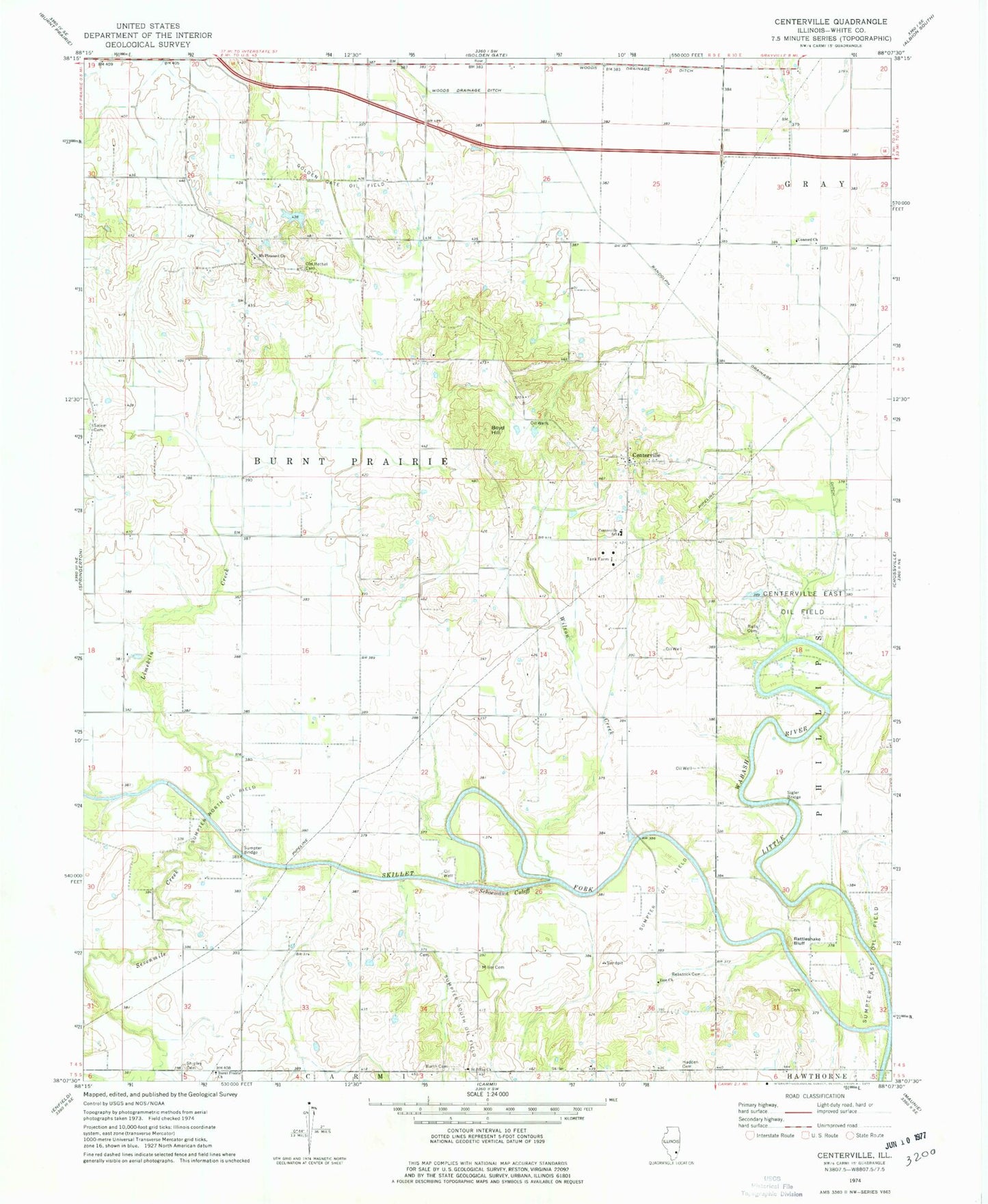
Classic USGS Centerville Illinois 7.5'x7.5' Topo Map
Couldn't load pickup availability
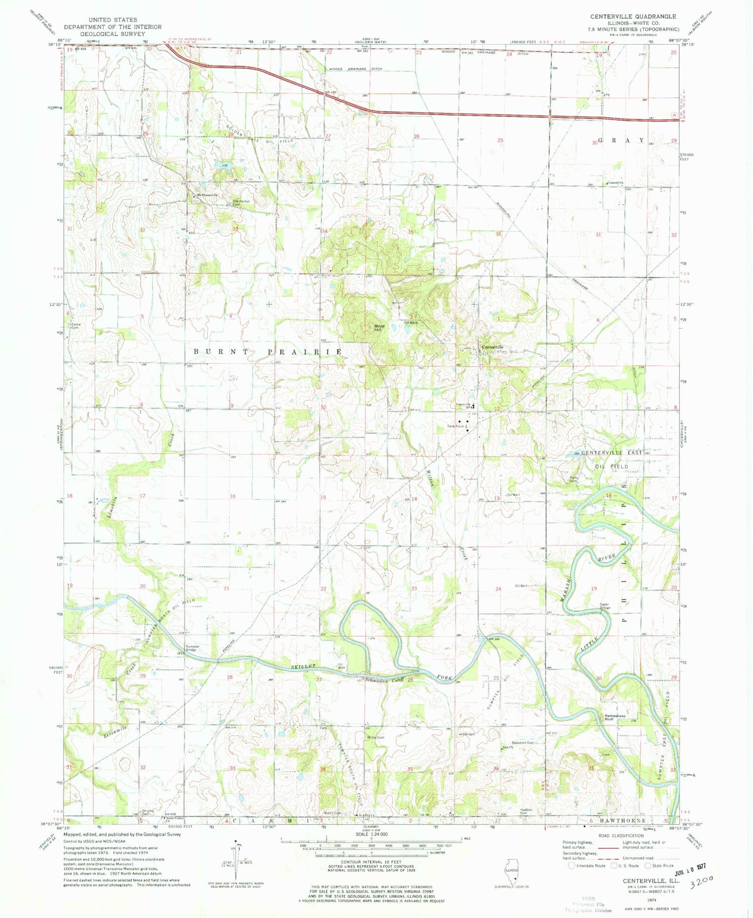
Historical USGS topographic quad map of Centerville in the state of Illinois. Map scale may vary for some years, but is generally around 1:24,000. Print size is approximately 24" x 27"
This quadrangle is in the following counties: White.
The map contains contour lines, roads, rivers, towns, and lakes. Printed on high-quality waterproof paper with UV fade-resistant inks, and shipped rolled.
Contains the following named places: Barth Cemetery, Beck School, Blue Mound Church, Bootjack School, Boyd Hill, Burnt Prairie Church, Centerville, Centerville Cemetery, Centerville East Oil Field, Centerville School, Concord Church, Farmerville School, Gray School, Hadden Cemetery, Hadden School, Illinois No Name Number 2000 Dam, Limekiln Creek, Major School, Miller Cemetery, Moccasin School, Mount Pleasant Cemetery, Mount Pleasant Church, Mount Pleasant School, Old Bethel Cemetery, Ralls Cemetery, Randolph Drainage Ditch, Rattlesnake Bluff, Rebstock Cemetery, Saint Johns Church, Salem Cemetery, Salem Church, Schoemann Cutoff, Sevenmile Creek, Shipley Cemetery, Sigler Bridge, Skillet Fork, Sumpter Bridge, Sumpter North Oil Field, Sumpter Oil Field, Sumpter South Oil Field, Sylvan Glen School, Township of Burnt Prairie, White Lily School, Williams School, Wilson Creek, Winters Bridge, Woods Drainage Ditch, Zion Church, ZIP Code: 62820


