MyTopo
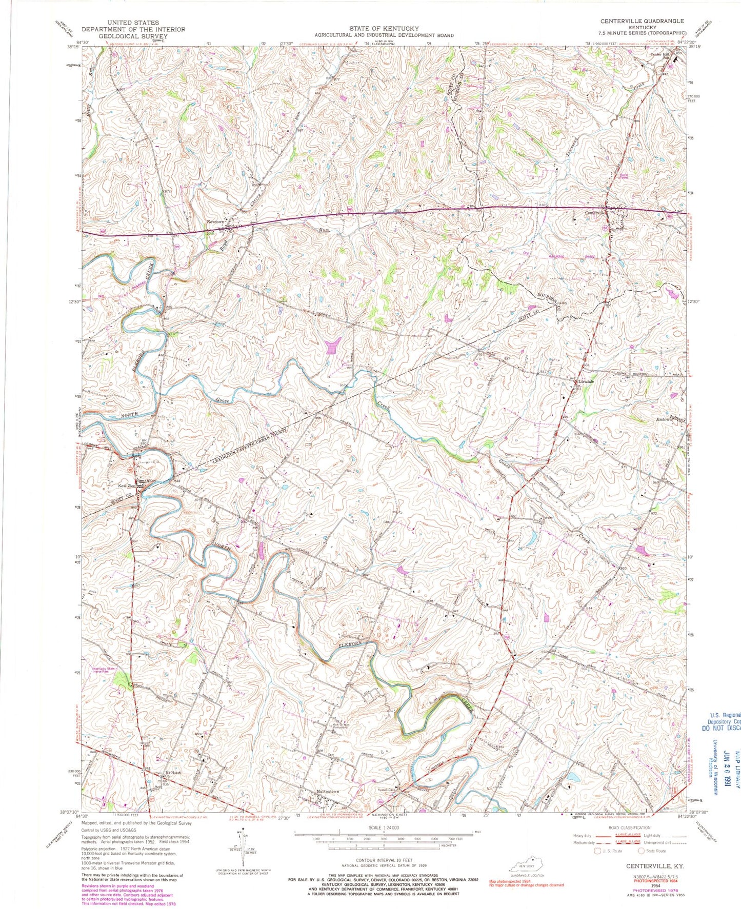
Classic USGS Centerville Kentucky 7.5'x7.5' Topo Map
Couldn't load pickup availability
Historical USGS topographic quad map of Centerville in the state of Kentucky. Map scale may vary for some years, but is generally around 1:24,000. Print size is approximately 24" x 27"
This quadrangle is in the following counties: Bourbon, Fayette, Scott.
The map contains contour lines, roads, rivers, towns, and lakes. Printed on high-quality waterproof paper with UV fade-resistant inks, and shipped rolled.
Contains the following named places: Beech Ridge, Boyd Run, Center Hill School, Centerville, Cherry Run, Georgetown Scott County Regional Airport, Goose Creek, Lexington Fire Department Station 19, Lexington-Fayette Northwest Division, Loradale, Man-O-War Monument, Mattoxtown, Mount Horeb Church, Mount Horeb Presbyterian Church Historical Marker, New Zion, Newtown, Scott County Fire Department Station 4, Wing Commander Historical Marker, ZIP Code: 40511