MyTopo
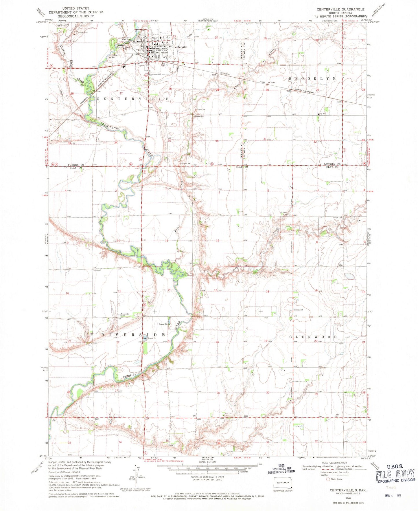
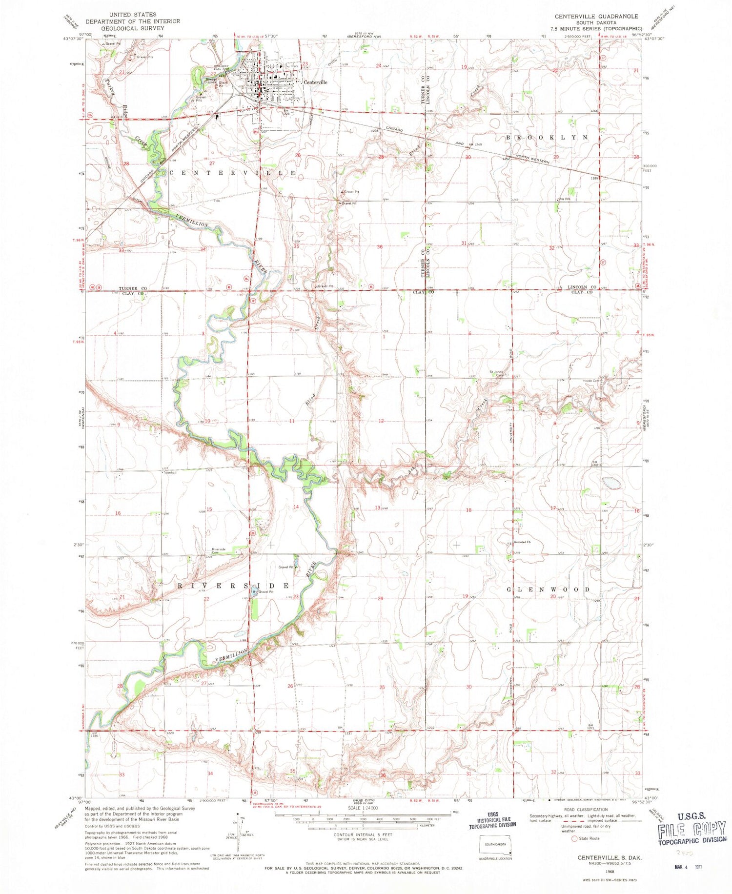
Classic USGS Centerville South Dakota 7.5'x7.5' Topo Map
Couldn't load pickup availability
Historical USGS topographic quad map of Centerville in the state of South Dakota. Map scale may vary for some years, but is generally around 1:24,000. Print size is approximately 24" x 27"
This quadrangle is in the following counties: Clay, Lincoln, Turner.
The map contains contour lines, roads, rivers, towns, and lakes. Printed on high-quality waterproof paper with UV fade-resistant inks, and shipped rolled.
Contains the following named places: Ash Creek, Ash Creek School, Bixler Ridge Airport, Blind Creek, Bonine Ditch, Centerville, Centerville City Hall, Centerville Community Ambulance Service, Centerville Community Library, Centerville Elementary School, Centerville Fire Department, Centerville High School, Centerville Junior High School, Centerville Police Department, Centerville Post Office, City of Centerville, Hovde Cemetery, Joy School, Komstad, Komstad Cemetery, Komstad Church, Komstad School Number 46, Noble Ditch, North Riverside School, Riverside - Barton Cemetery, Saint Johns Cemetery, Township of Riverside, Turkey Ridge Creek, Ward Airfield, ZIP Code: 57014