MyTopo
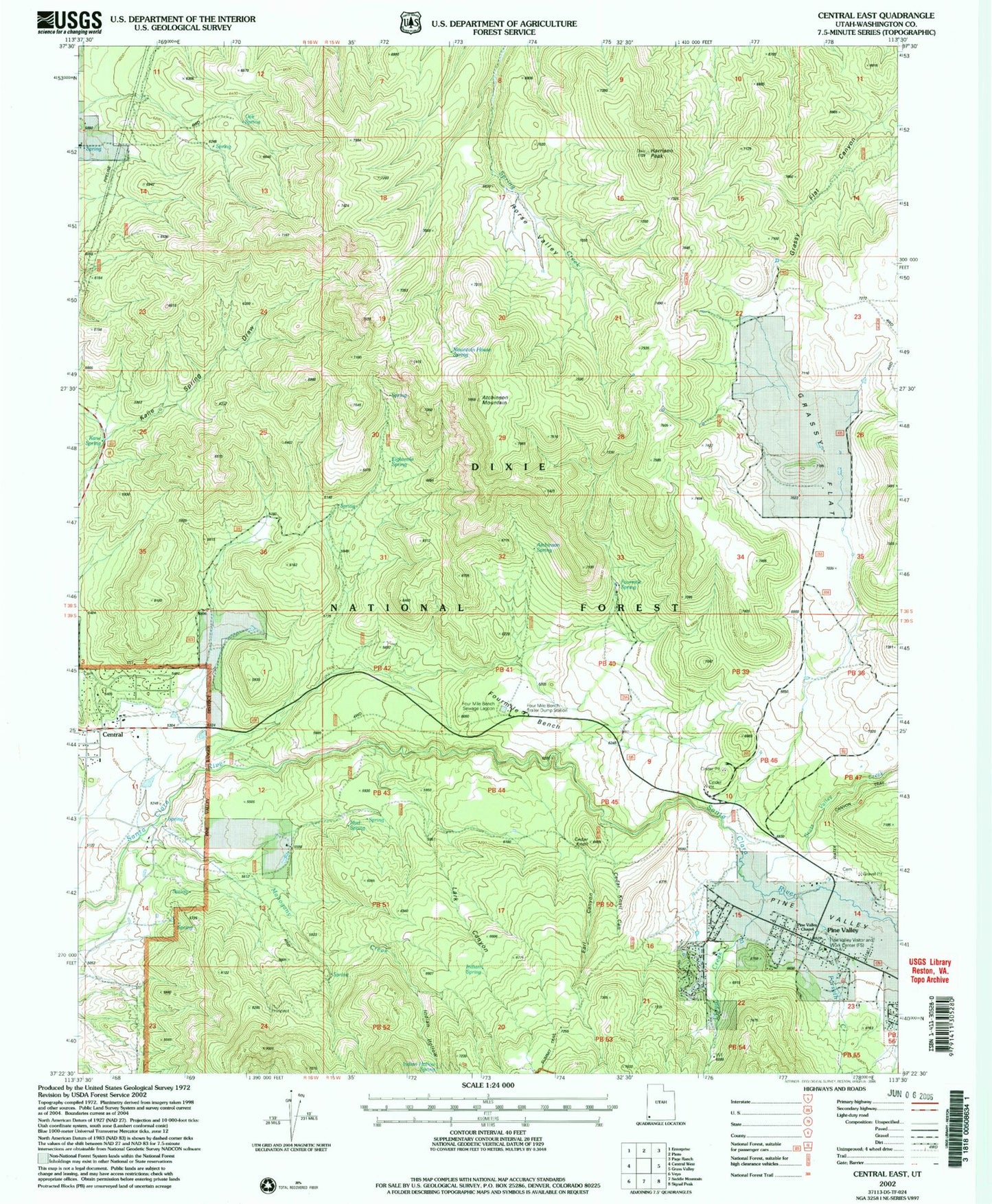
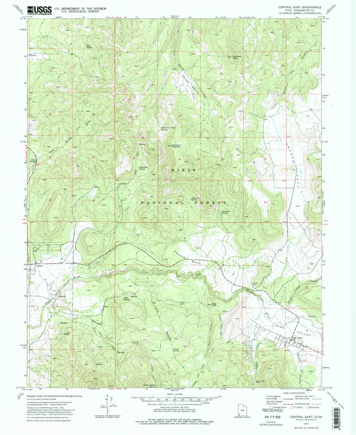
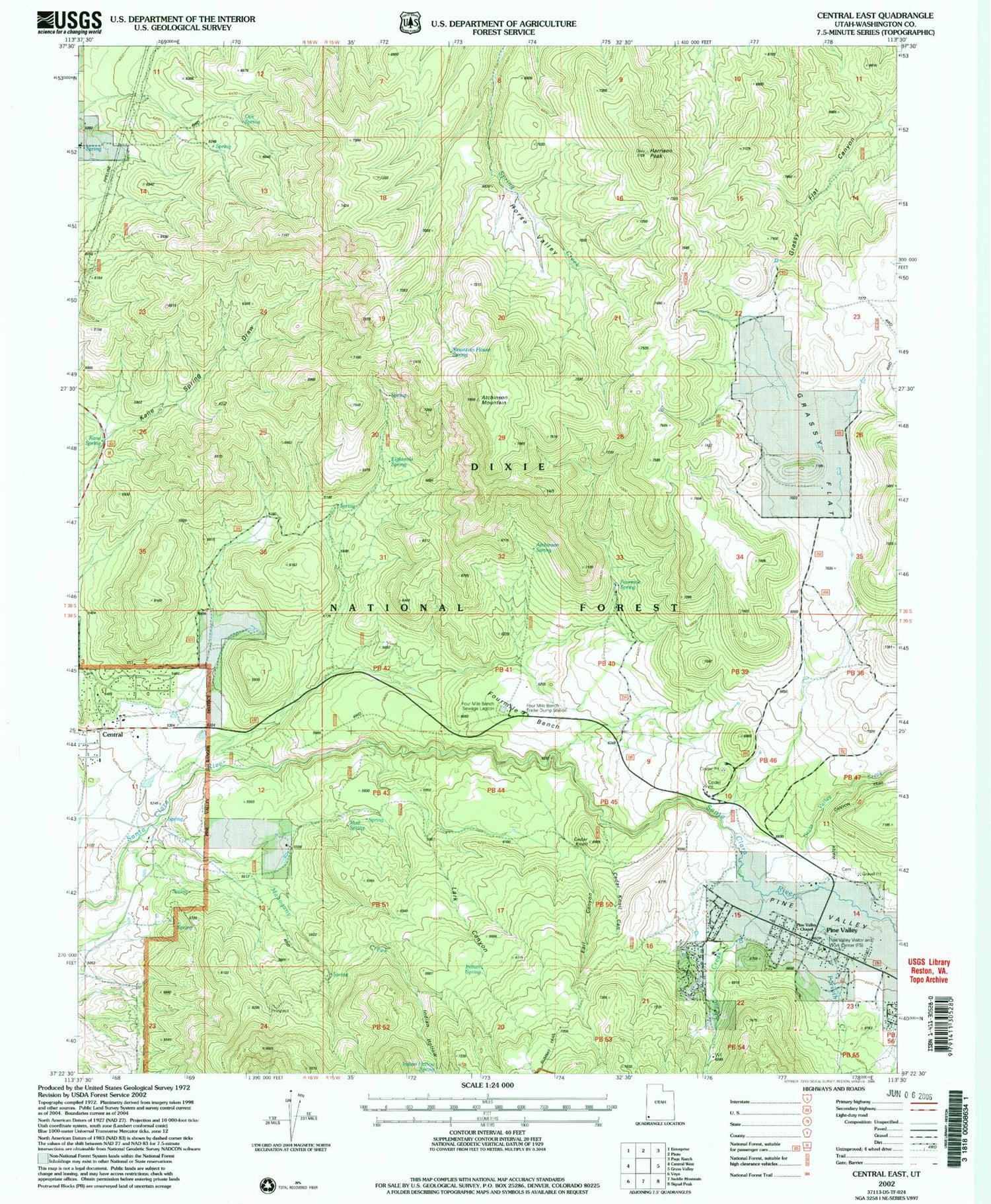
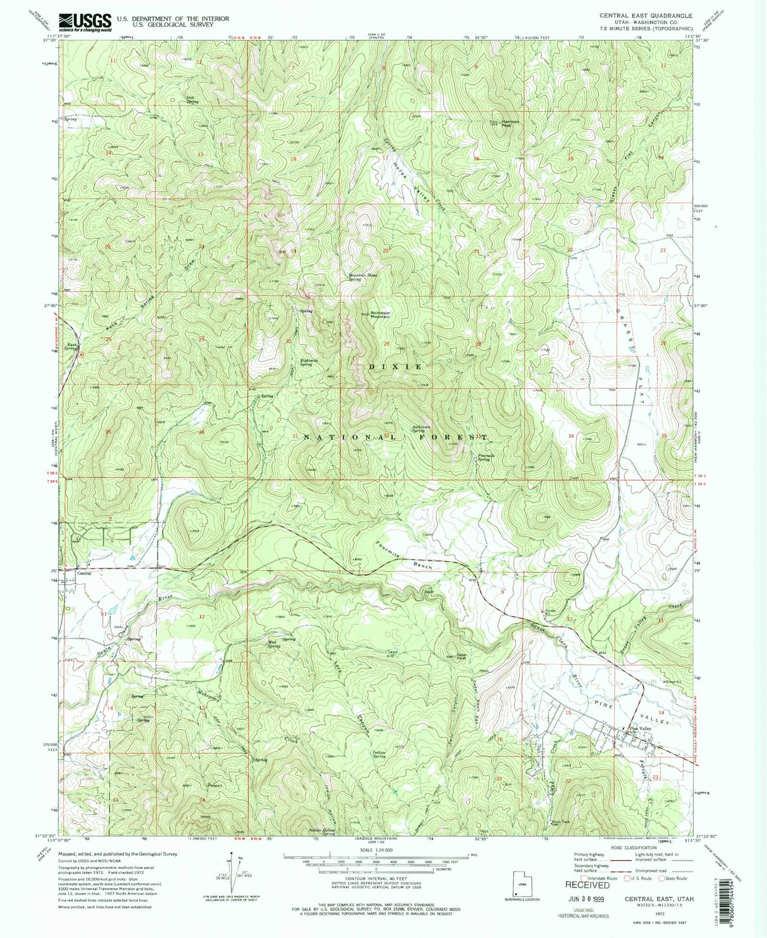
Classic USGS Central East Utah 7.5'x7.5' Topo Map
Couldn't load pickup availability
Historical USGS topographic quad map of Central East in the state of Utah. Typical map scale is 1:24,000, but may vary for certain years, if available. Print size: 24" x 27"
This quadrangle is in the following counties: Washington.
The map contains contour lines, roads, rivers, towns, and lakes. Printed on high-quality waterproof paper with UV fade-resistant inks, and shipped rolled.
Contains the following named places: Atchinson Mountain, Atchinson Spring, Cedar Knoll, Cedar Knoll Canyon, Central, Earl Canyon, Eightmile Spring, Forsyth Creek, Fourmile Bench, Fourmile Spring, Grass Valley Creek, Grassy Flat, Harrison Peak, Horse Valley, Indian Hollow, Indian Hollow Spring, Indian Spring, Kane Spring, Lark Canyon, Lloyd Creek, Mahogany Creek, Mountain Home Spring, Mud Spring, Oak Spring, Pine Valley, Pine Valley, Pine Valley Cemetery, Pine Valley Church Historical Site, Four Mile Bench Sewage Lagoon, Earl Spring, Nervine Spring, Pine Valley Work Center, Enterprise Division, Pine Valley Post Office (historical), Pine Valley Fire Department, Pine Valley Census Designated Place


