MyTopo
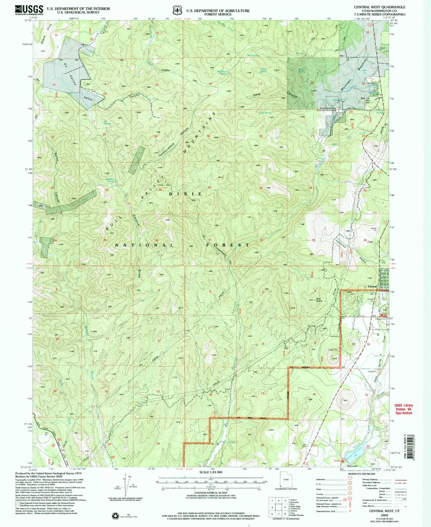
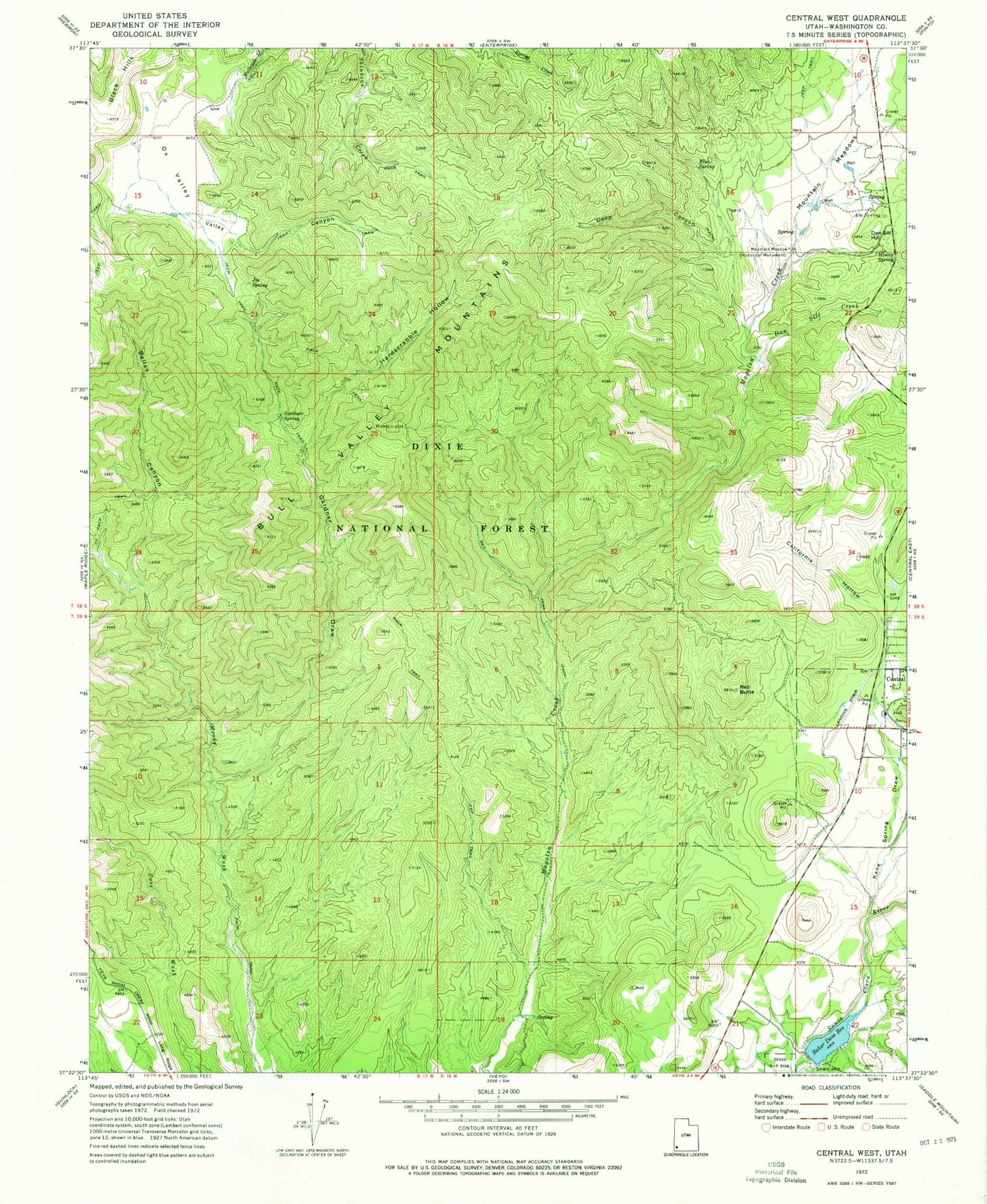
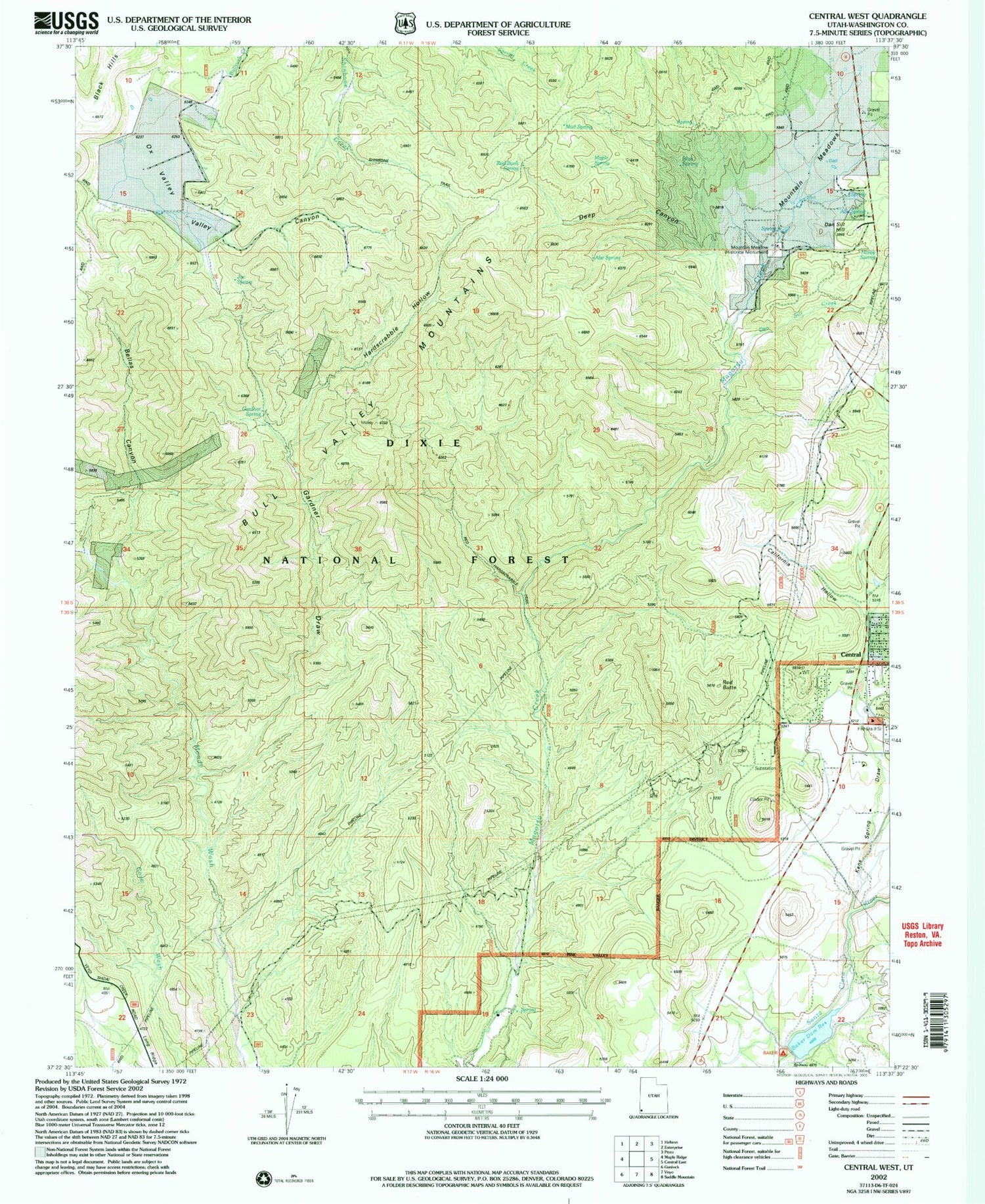
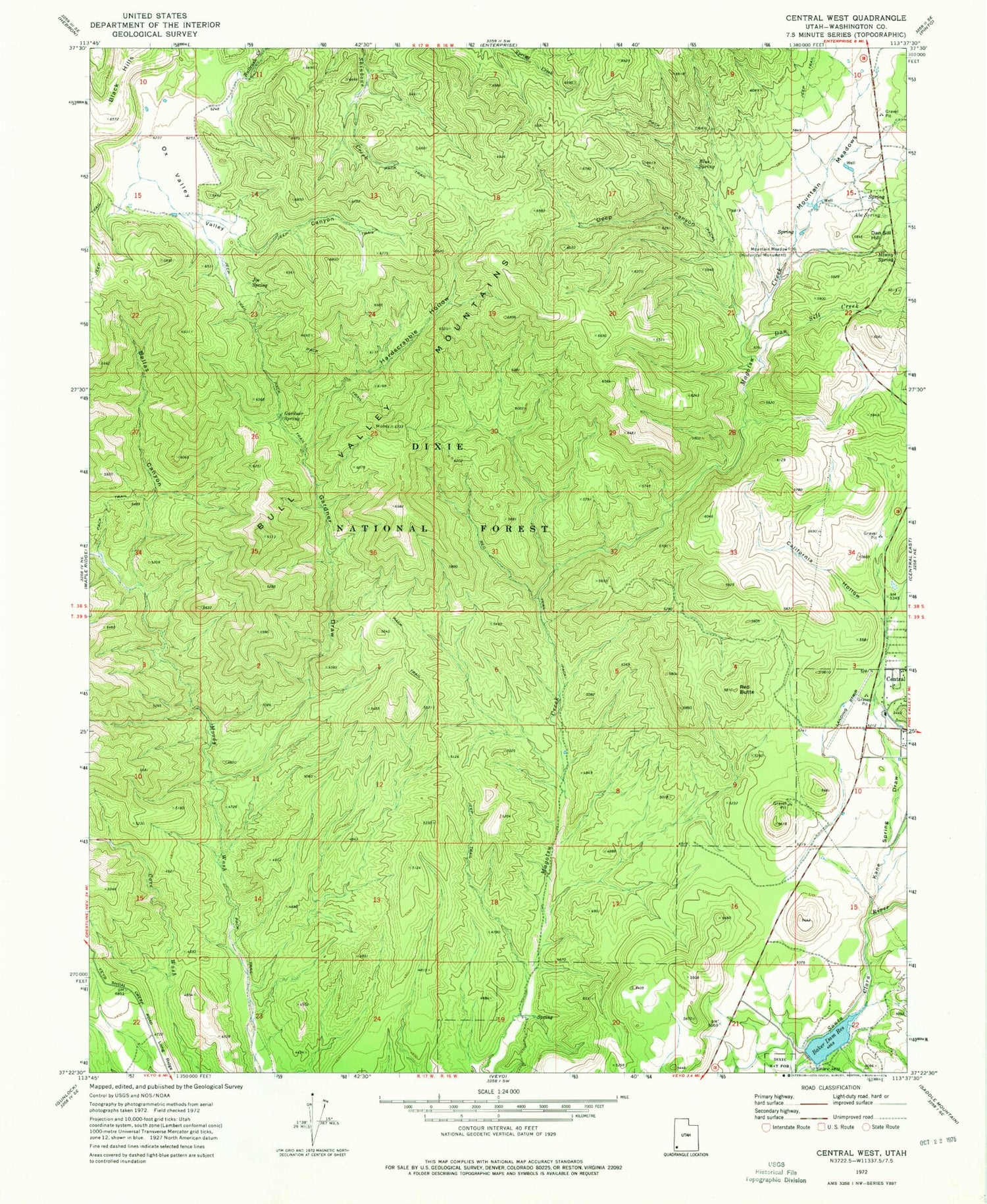
Classic USGS Central West Utah 7.5'x7.5' Topo Map
Couldn't load pickup availability
Historical USGS topographic quad map of Central West in the state of Utah. Map scale may vary for some years, but is generally around 1:24,000. Print size is approximately 24" x 27"
This quadrangle is in the following counties: Washington.
The map contains contour lines, roads, rivers, towns, and lakes. Printed on high-quality waterproof paper with UV fade-resistant inks, and shipped rolled.
Contains the following named places: Abe Spring, Baker Reservoir, Baker Reservoir Dam, Baker Reservoir Recreation Area, Baker Reservoir Recreation Area Campground, Bellas Canyon, Blue Spring, California Hollow, Central Cemetery, Central Census Designated Place, Central Fire Statiion - Northwestern Special Service Fire District, Dan Sill Creek, Dan Sill Hill, Deep Canyon, Dixie Deer Airport, Gardner Draw, Gardner Spring, Hardscrabble Hollow, Hardscramble Spring, Hiway Spring, Joe Spring, Kane Spring Draw, Long Ridge, Maple Spring, Mountain Meadow, Mountain Meadows Massacre Memorial, Mud Spring, Ox Valley, Red Bank Spring, Red Butte, Red Hardscrabble Trail, Shinbone Trail, Valley Canyon


